National Weather Service United States Department of Commerce
Click a location below for detailed forecast.

Last Map Update: Sat, Oct 24, 2026 at 4:42:33 pm CDT

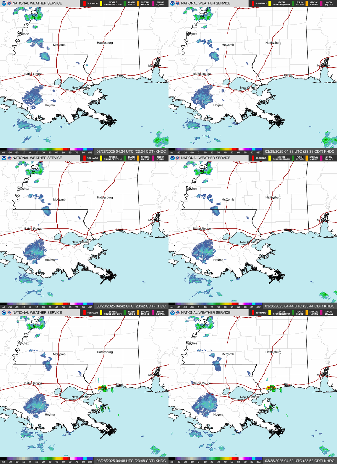
No rain anticipated through the weekend and most or all of next week. Sunny skies to continue into the early part of the workweek. Highs will be in the upper 70s to mid 80s. The air will be dry allowing overnight lows to cool into the 50s and lower 60s most places.
Fire weather continues to be a concern. With little to no rain expected through the weekend and beyond, we will continue to dry things out. Afternoon RH values will fall into the 20s to mid 30s north of Interstate 10 today and 30 to 40 percent tomorrow afternoon. This will combine with increasingly dry fire weather fuels and worsening drought conditions. Wind speeds are likely to increase this weekend, which will increase the potential for more significant wind-driven fire spread.


CoCoRaHS
CoCoRaHS - Click for more information
Submit
Storm Report

Submit a Storm Report

River Stages
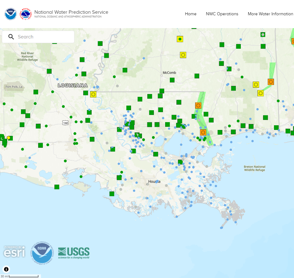
Latest River Stages


Quick Access to Text Products


 Current Weather Observations...
Location Time
(CDT)
Weather Vsby.
(SM)
Temp.
(ºF)
Dewpt.
(ºF)
Hum.
(%)
Wind
(mph)
Wind Chill / Heat Index
(ºF)
Pres.
(in)
Baton Rouge LA15:53Clear10834324E 8-30.20
Biloxi MS15:55Clear10804124NE 9-30.19
Gulfport MS15:53Clear10755143S 6-30.21
Hammond LA16:15Clear10805237SSE 12-30.21
Houma LA15:50Partly Cloudy7785544ENE 13G18-30.22
McComb MS15:53Clear10804124VRB 7-30.22
New Orleans LA15:53Mostly Clear10784834ESE 10-30.21
Slidell La15:53Clear10784632E 3-30.20