National Weather Service United States Department of Commerce

The Work Week will Begin with Unsettled Weather from the Southern Plains to the Great Lakes

Unsettled weather is forecast to continue through the first half of the work week from the Southern Plains to the Great Lakes as a frontal system moves through. Isolated to scattered severe thunderstorms and flash flooding will be possible each day. Meanwhile, scattered showers and thunderstorms are expected across the Southwest and California, with isolated flash flooding possible. Read More >

Click a location below for detailed forecast.

Last Map Update: Sun, Sep 21, 2025 at 8:52:56 pm CDT
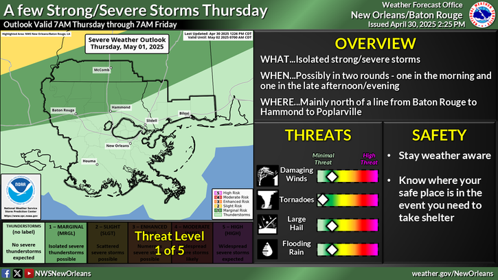
There are no watches, warnings, or advisories at this time.

Weather Highlights for the week ahead: Rain Chances on the Rise! Isolated chances Monday & Tuesday. Greater coverage Wednesday - Thursday. Late-Week Front? A front sweeps through Thursday! . Highs in the mid 80’s Thu & Friday, lows in the 60’s. Relief in the Drought Conditions .Not likely, but we’ll take what we can get! Rainfall totals will vary depending on location averaging 0.5 to 1.5” (locally higher) thru Fri


CoCoRaHS
CoCoRaHS - Click for more information
Submit
Storm Report

Submit a Storm Report

River Stages
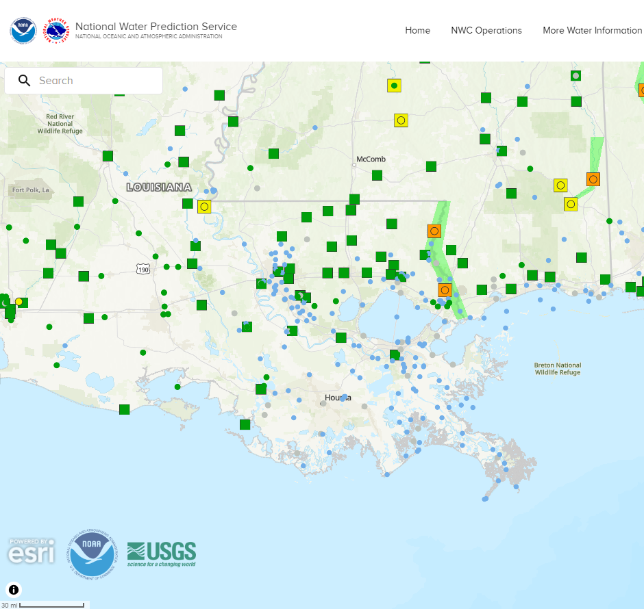
Latest River Stages


Quick Access to Text Products


 Current Weather Observations...
Location Time
(CDT)
Weather Vsby.
(SM)
Temp.
(ºF)
Dewpt.
(ºF)
Hum.
(%)
Wind
(mph)
Wind Chill / Heat Index
(ºF)
Pres.
(in)
Baton Rouge LA19:53Mostly Clear10767184CALM-29.96
Biloxi MS19:55Mostly Cloudy10847063S 6-29.95
Gulfport MS19:53Clear10837372SSE 8-29.97
Hammond LA20:35Clear10797382S 3-29.97
Houma LA20:35Clear10787281ESE 5-29.97
McComb MS19:53Clear10786564SSE 6-29.96
New Orleans LA19:53Mostly Cloudy10847267SE 8-29.96
Slidell La19:53Clear10817274SSE 5-29.96