Middle Atlantic RFC
River Forecast Center
| Snow Water Equivalent Maps | ||||||||||||||||
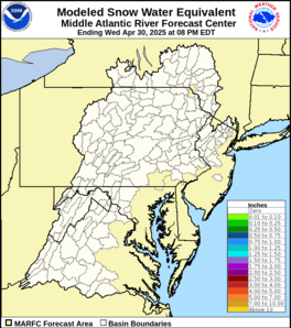 |
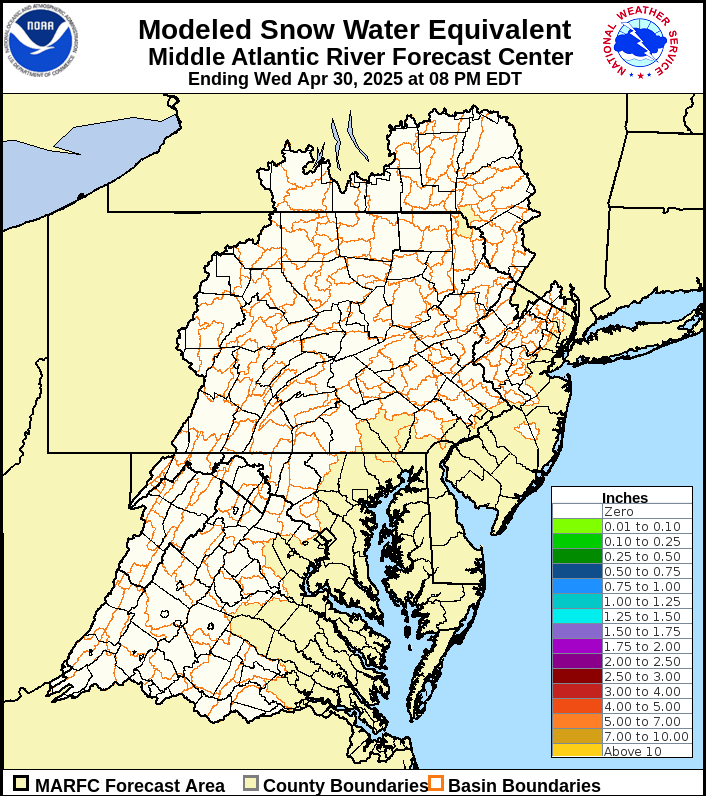
Snow water equivalent is the depth of water that would cover the ground if the snow cover was in a liquid state. Our river forecasting models use this value, along with temperature and sunshine information, to estimate the amount of snow melt entering the river channels. The actual number is very rarely field checked, but rather estimated from the total snow depth, observed liquid equivalent precipitation, i.e. how much precipitation fell if it was entirely in the form of rain, and the amount of snow melt
.
|
|||||||||||||||
| Snow Depth and Daily Snowfall Maps | ||||||||||||||||
|
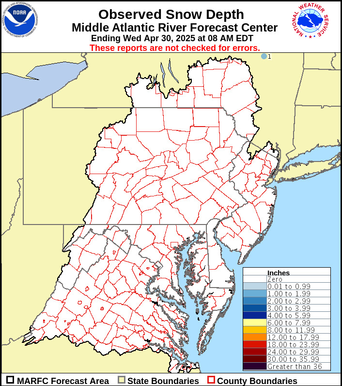
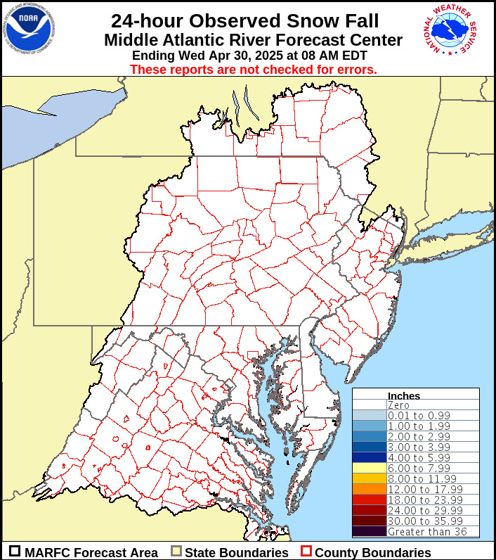
Snow depth is not always a true indicator of the average snow depth over an entire area, but the values are used qualitatively to see if the estimated water equivalents are in need of review or revision.
|
||||||||||||||||
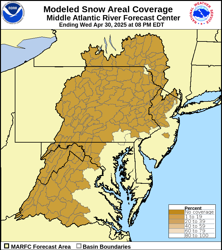
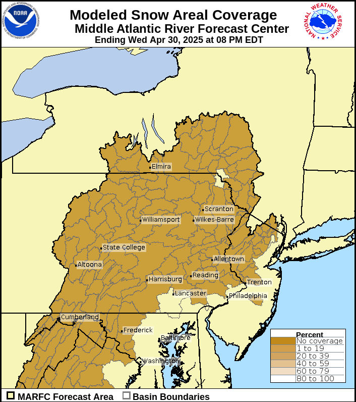
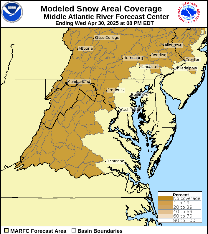
| Estimated Snow Coverage | ||||||||||||||||
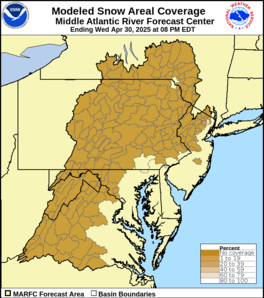 |
These maps show an estimate of what percentage of the ground is covered by snow. |
|||||||||||||||
| MARFC Snow Data File (csv) | ||||||||||||||||
| National Operational Hydrologic Remote Sensing Center Estimate | ||||||||||||||||
Additional snow information can be found at the National Operational Hydrologic Remote Sensing Center
US Dept of Commerce
National Oceanic and Atmospheric Administration
National Weather Service
Middle Atlantic RFC
328 Innovation Boulevard
Suite 330
State College, PA 16803
814-954-6408
Comments? Questions? Please Contact Us.

