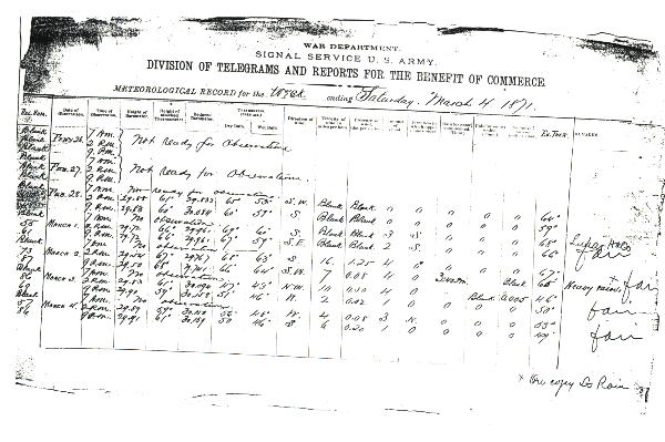
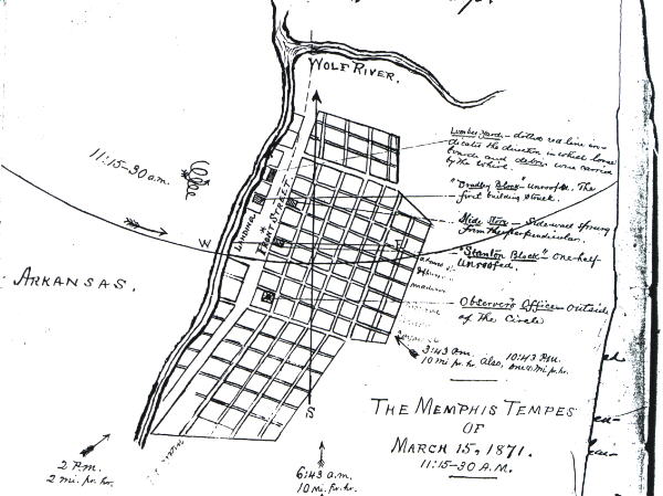
Surface weather observations began on February 28, 1871 with the establishment of an office in downtown Memphis near the Mississippi River. From its inception in 1871 until September 1964, the downtown office moved several times. The main Post Office Building was its home for 53 of those years. The office maintained climatological records for Memphis, collected hydrologic data, and provided stage forecasts for the Mississippi River. Over the years, it evolved into a River District Office (RDO) with river forecasting services beginning in the 1930s.
Meanwhile, another weather office opened at the Memphis Airport on October 24, 1931 in support of the growing requirements for aviation weather observations. Aviation support services expanded in 1941 with the establishment of the Flight Advisory Weather Service (FAWS) unit. This unit was collocated with the FAA's Air Route Traffic Control Center (ARTCC) at the airport. That center moved to a downtown Memphis location in 1944 then back to the airport around 1955.Forecast and warning services developed significantly during the decade of the 1960s and the FAWS unit merged with other functions at the airport weather office. Memphis provided public and aviation terminal and route forecasts for Kentucky, Tennessee, Arkansas, and the north half of Mississippi and agricultural zone forecasts for the Mid-South Region including the Missouri Bootheel.
Warning services began in the early 1960s for a county warning area (CWA) that included the Missouri Bootheel, west Tennessee, north Mississippi, and northeast Arkansas. A WSR-3 radar at the airport weather office provided limited information during the late 1950s and 1960s in support of the warning program. However a significant advance occurred with the commissioning of the WSR-57 radar unit located at the Naval Air Station in Millington, Tennessee (15 miles north of Memphis) in February, 1971. The National Weather Service established a meteorological observatory at Millington to support network radar functions.
In 1964, the Weather Bureau consolidated operations at the airport location and the downtown River District Office closed. Hydrologic services continued virtually unchanged until the arrival of the River Forecast Centers in the early 1970s. Other changes occurred in the 1970s with the inauguration of the state forecast office concept. For the Mid-south, this happened in the period between 1970 and 1973 and the aviation and public forecast responsibility for the Memphis weather office was paired down to the state of Tennessee. WSFO Memphis provided public forecasts for 15 geographical zones. The CWA was not affected significantly except for the transfer of the two Missouri Bootheel counties to WSFO ST. Louis.
More significant changes were in store for the decades of the 1970s and 1980s. The NOAA Weather Radio program began rapid nationwide expansion during the 1970s and Memphis provided broadcast services for two transmitters located in Memphis and Jackson, Tennessee. In 1978, the Center Weather Service Unit (CWSU) began operations at the ARTCC near the Memphis Airport to support Center operations. Memphis officially entered the "computer age" with the installation of Automation of Field Operations and Services (AFOS) in 1980-81.
A major office consolidation occurred in the fall of 1985. The WSMO Millington office merged with the WSFO Memphis and moved to the Agricenter International in east Memphis. The WSR-57 radar was decommissioned at Millington and the WSR-74S radar commissioned in January, 1986 at the Agricenter site. The Memphis Flight Service Station assumed responsibility for the surface aviation observation program at Memphis International Airport in October 1985 and private contract observers have taken the observations since September 1987.
In 1992, the WSFO Memphis began issuing more detailed zone forecasts for 102 geographical areas in Tennessee. A forecast was now issued specifically for each county in Tennessee. Some counties were even divided into two zones depending on the topography.
The fruits of the National Weather Service's Modernization and Associated Restructuring (MAR) effort began arriving in Memphis in 1993. The WSFO Memphis office was refurbished in the summer of 1993 to accommodate the new equipment that would be arriving. In August of 1993, the WSR-88D Doppler radar antenna was installed at the Naval Air Station in Millington. Simultaneously, the Principal User Processor (PUP) was connected in the forecast office at the Agricenter. The National Weather Service commissioned this radar in January of 1995. In April of 1994, a PUP connected to the newly installed WSR-88D at Columbus AFB in Mississippi, arrived at the forecast office. These two radars, using the Doppler principle, have provided the forecast office at Memphis with the capability to issue more timely, specific and accurate warnings over our CWA. As a result, the WSR-74S radar was decommissioned in June of 1995.
During the last half of 1993 and the first half of 1994, three positions were added to the staff of the forecast office. These new positions are part of the modernization effort. These included an Electronics Systems Analyst (ESA) to keep the new systems running properly, a Warning and Coordination Meteorologist (WCM) to become the user interface with media, public officials, and the public to improve the warning program, and a Science and Operations Officer to bring the latest science and technology into the forecasting operations.
WSFO Memphis took over county warning area (CWA) responsibility for 16 additional counties in northeast Mississippi, two additional counties in northeast Arkansas, and two counties in the Missouri Bootheel in April of 1995. At the same time, the NWSFO Memphis took over responsibility for NOAA Weather Radio operation at the transmitters in Booneville and Oxford, Mississippi as well as the transmitter in Jonesboro, Arkansas.
Since 1999, NOAA Weather Radio Transmitters have been added in Marvell, Arkansas, Wardell, Missouri, and Vale, Tennessee. Our staff of 23 people provides 24 hour, 7 day a week service to eastern Arkansas, west Tennessee, north Mississippi and the Missouri Bootheel. Since 1996, 11% of all tornado deaths in the United States have occurred in this area. Therefore, our office remains vigilant in providing top quality severe weather forecasts, warnings and preparedness education to the public.

