Fire Weather & Drought Operations Center
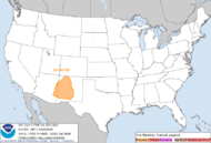
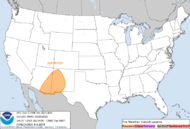
The regional weather hazards map is optimized to view on an independent full-screen layout window.
Computes precise Relative Humidity values using the Magnus-Tetens formula framework.




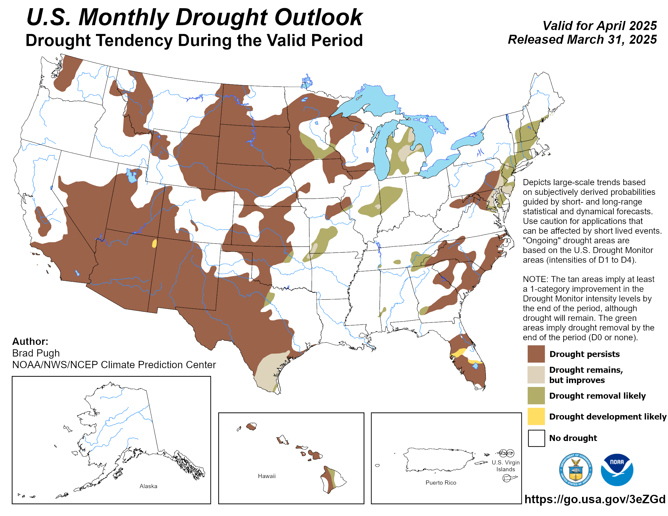
Check current county-level open burning restrictions via state forestry and environmental agencies:
Available 24/7 for Fire Management Support
901-544-0401



 Follow us on X
 Follow us on Facebook
 Follow us on YouTube
 MEG RSS Feed