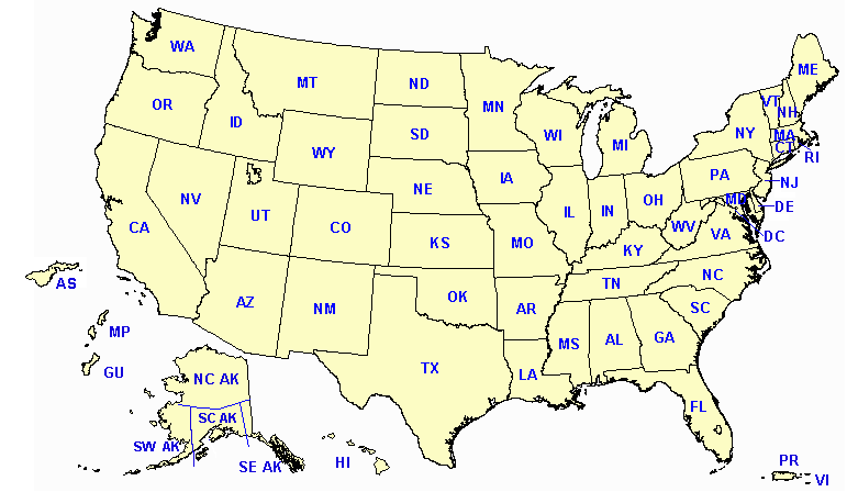
Click on a state to view coverage.
Coverage is affected by many factors.
Read the Coverage Map Notes below to understand these factors on the state and individual maps.
Coverage Map Notes
The coverage statistics and maps are calculated using a computer model and station data, assuming ideal conditions. Actual coverage may be 5 to 10 percent below the computer-predicted coverage due to the following factors:
- The computer model is sensitive to antenna performance. Antenna performance depends on local conditions, which can cause signals to have stronger levels in some directions than others.
- The placement of NWR antennas is dictated by the tower owner, which may result in a less-than-ideal setup.
- Nearby structures or bodies of water may interfere with antenna performance.
- In some cases, antennas may be intentionally adjusted to be "directional" to improve coverage in a specific area at the expense of others.
- Variations in local site conditions can affect the performance of an individual transmitter and antenna, resulting in less-than-predicted or expected coverage.
- Seasonal environmental conditions, such as icing or heavy rain, can impact the performance of a transmitter station and its components, particularly those exposed to continuous weather.
- The coverage maps are displayed in a single-color format, which corresponds to an estimated signal level.
A signal level greater than 18 dBuV indicates reliable coverage.


