Twin Cities, MN
Weather Forecast Office
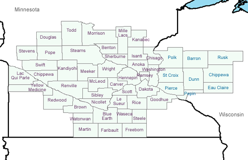
2025 Minnesota Fire Weather Operating Plan
2025 Wisconsin Fire Weather Operating Plan
Latest Fire Weather Forecast Product issued by the NWS Twin Cities
Most recent Red Flag Warning/Fire Weather Watch issued by the NWS Twin Cities
Latest National Fire Danger Rating Forecast issued by the NWS Twin Cities
National Fire Weather Outlook from the Storm Prediction Center (SPC)
Current temperatures and weather conditions across Minnesota and Wisconsin
RAWS Weather Observations at Sherburne, MN, Litchfield, MN, Jordan, MN, Augusta, WI, and Ladysmith, WI
Map of Current Weather Observations Across the Upper Midwest
5 Day Precipitation Forecast from the Hydrologic Prediction Center
US Dept of Commerce
National Oceanic and Atmospheric Administration
National Weather Service
Twin Cities, MN
1733 Lake Drive West
Chanhassen, MN 55317-8581
952-361-6670
Comments? Questions? Please Contact Us.

