Marquette, MI
Weather Forecast Office
EF0 Tornado in Ontonagon
An assessment team from the National Weather Service in Marquette in conjunction with Ontonagon Emergency Management surveyed storm damage that occurred in Ontonagon around 8:15 AM EDT on Friday, August 19, 2011. The team determined the damage was caused by a weak tornado.
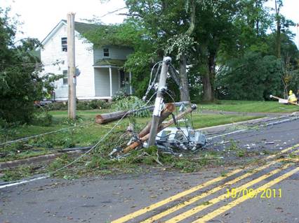
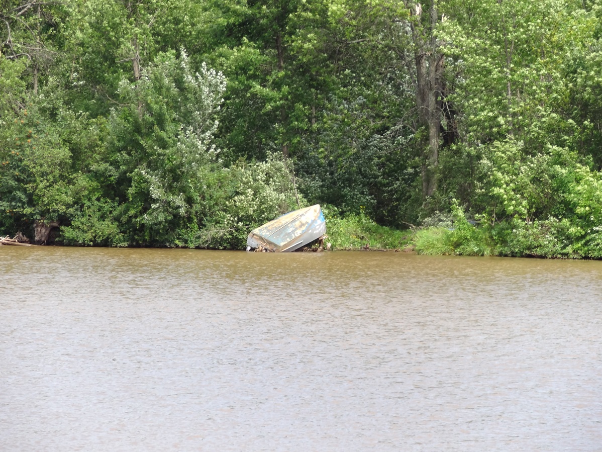
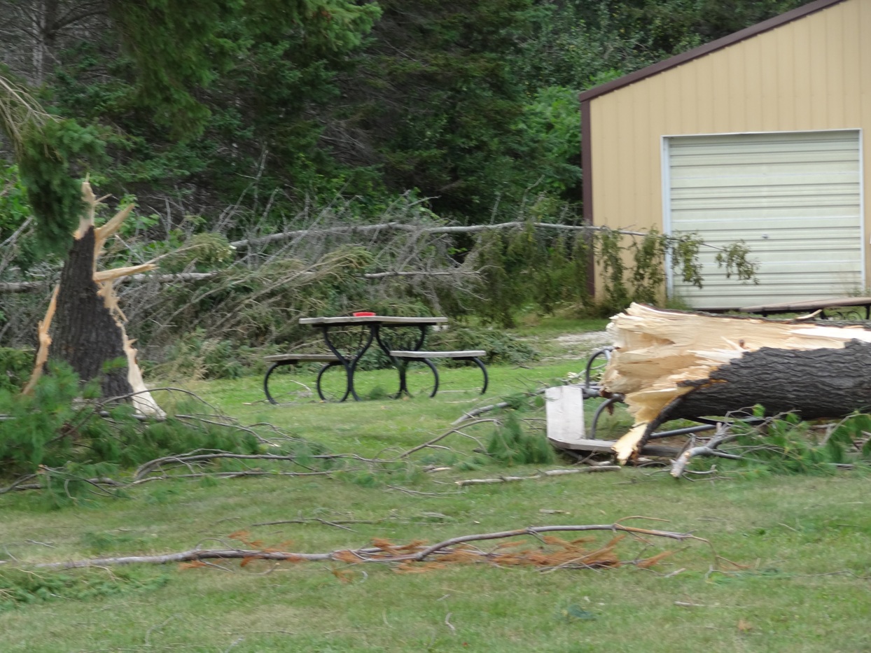
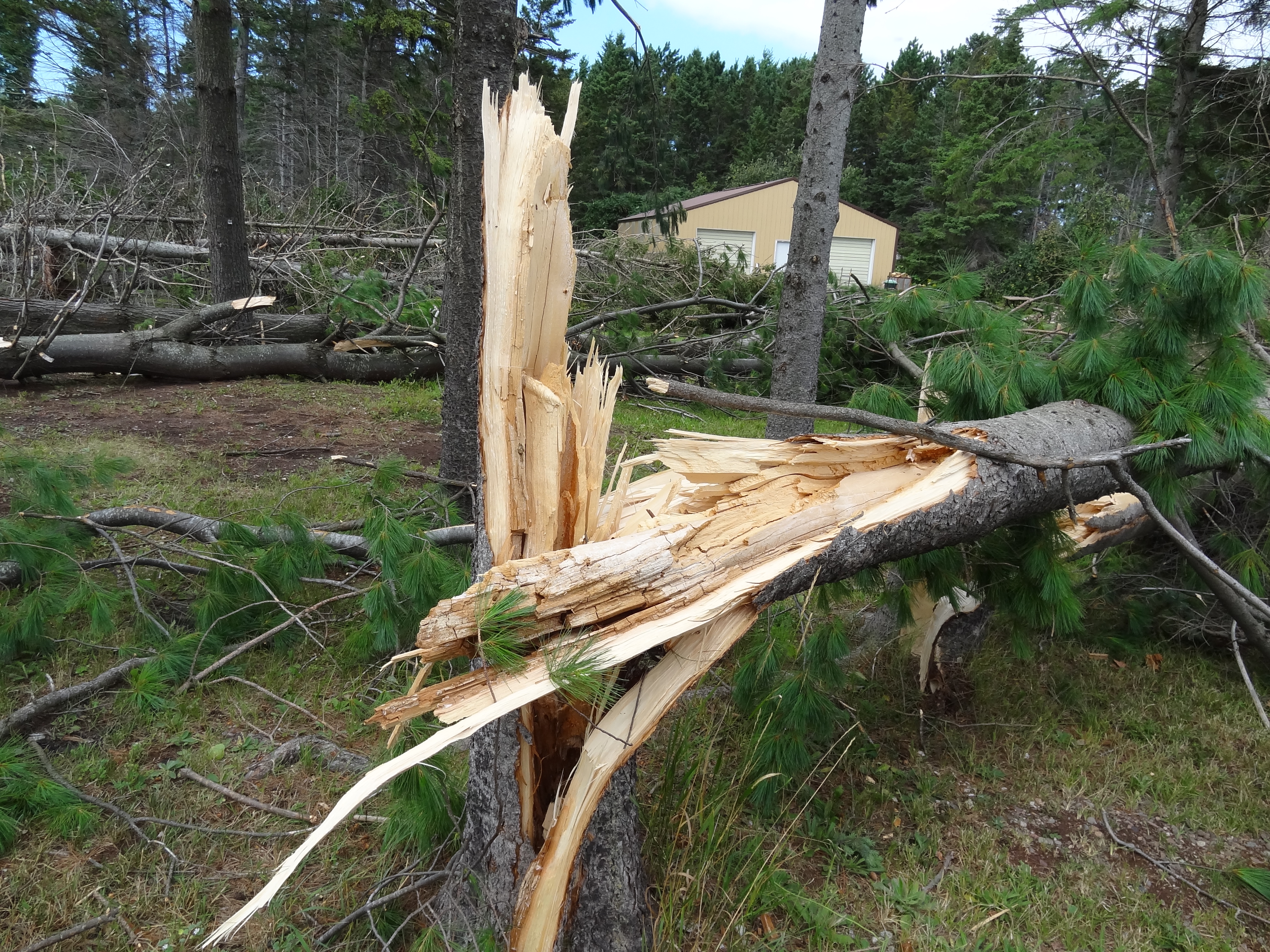
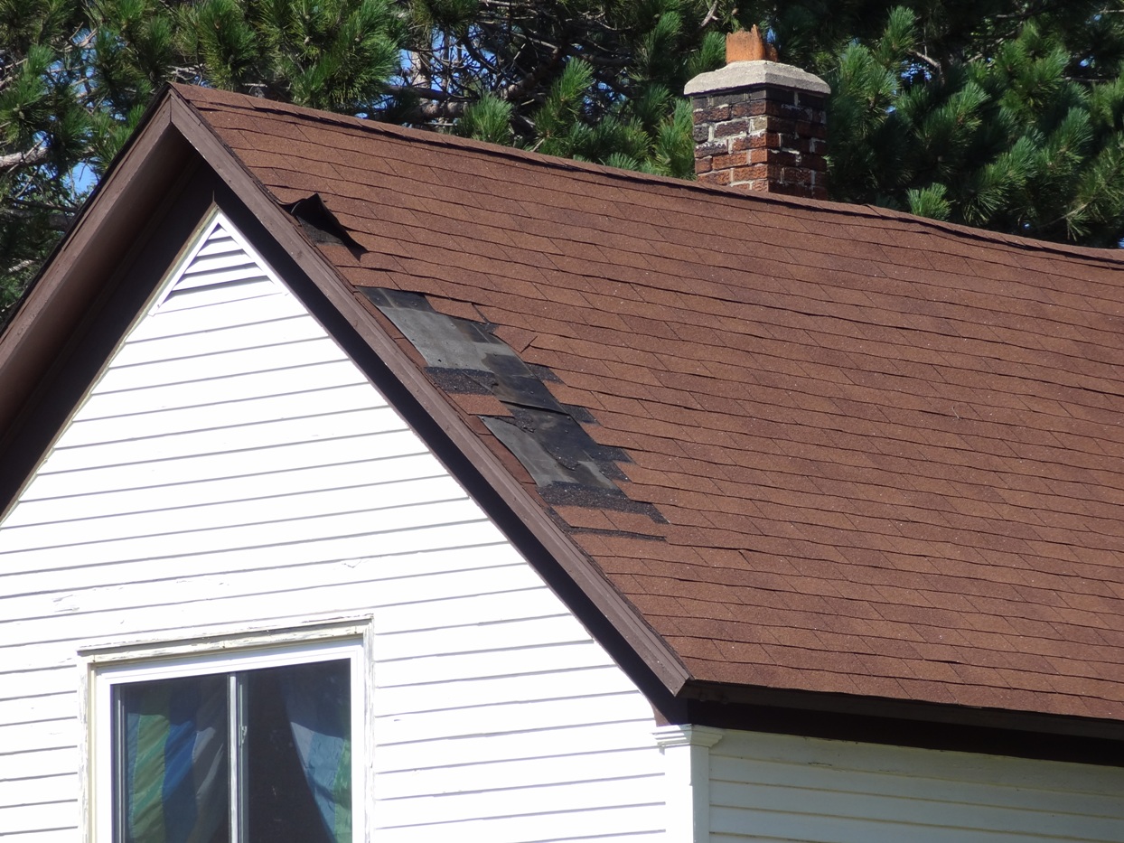
The tornado initially touched down at the River Pines RV Park and Campground and then skipped northeastward across the Village lifting on the east side of the Ontonagon Golf Course. Most of the damage was confined to snapped and uprooted trees, snapped power poles, a flipped boat, minor roof damage, and some structural damage to a garage. There were no injuries.
The tornado was on the ground for 1.5 miles and the maximum damage path width at its widest point was about 125 yards. The preliminary maximum winds in the tornado were 85 mph which made the tornado a strong EF0 tornado on the Enhanced Fujita scale used to rate the intensity of tornadoes.
Shown below are the track of the tornado, radar reflectivity and pictures of the tornado damage in the Ontonagon area.
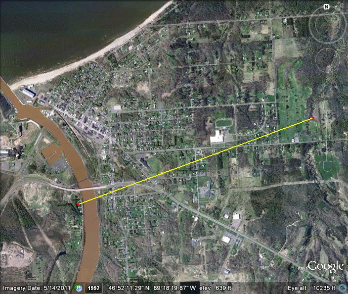 |
| Yellow line indicates the approximate tornado path through Ontonagon. |
 |
| Radar base reflectivity over Ontonagon and Gogebic counties on August 19, 2011. |
 |
 |
 |
 |
 |
 |
US Dept of Commerce
National Oceanic and Atmospheric Administration
National Weather Service
Marquette, MI
112 Airpark Drive South
Negaunee, MI 49866
906-475-5212
Comments? Questions? Please Contact Us.

