Marquette, MI
Weather Forecast Office
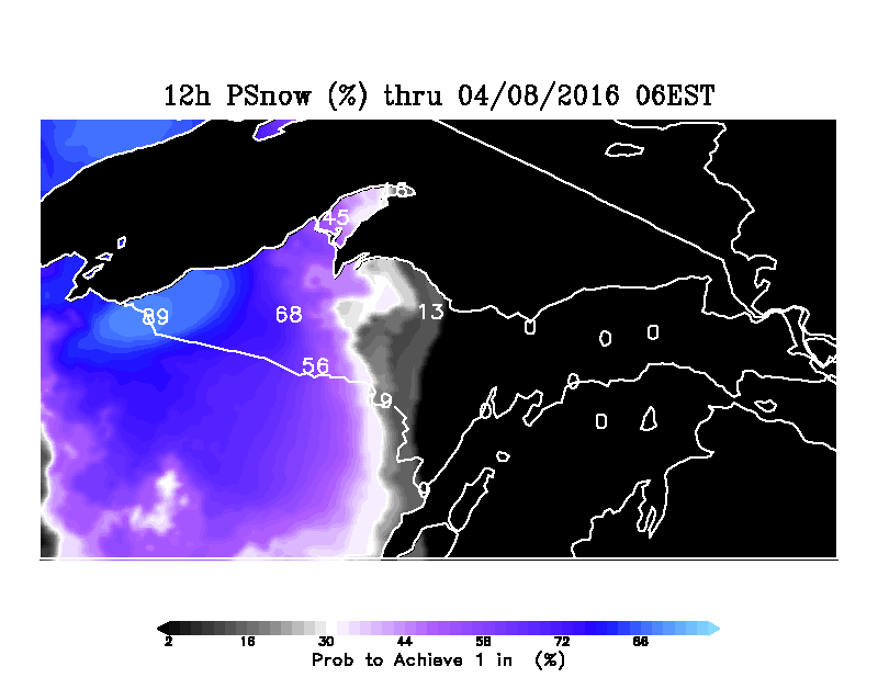
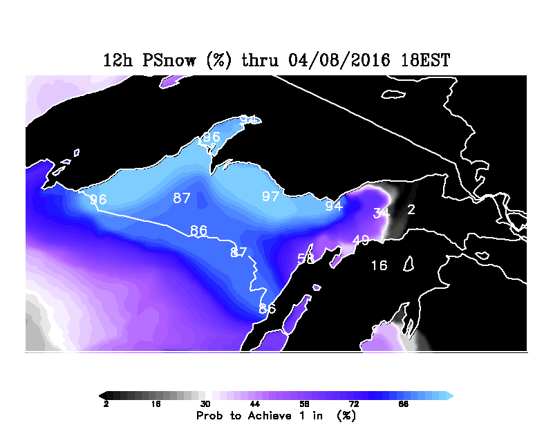
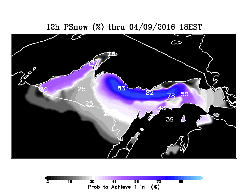
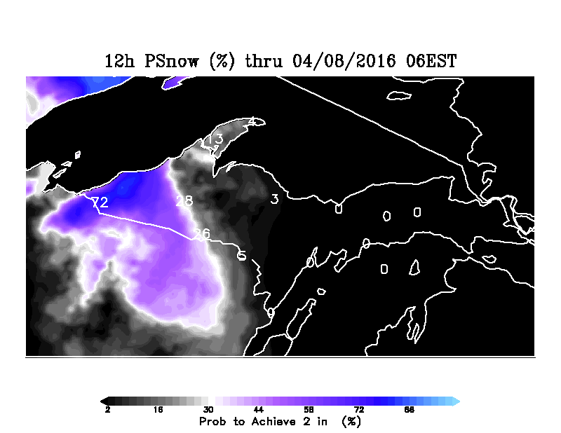
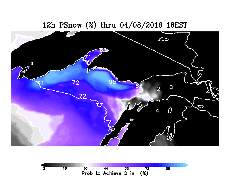
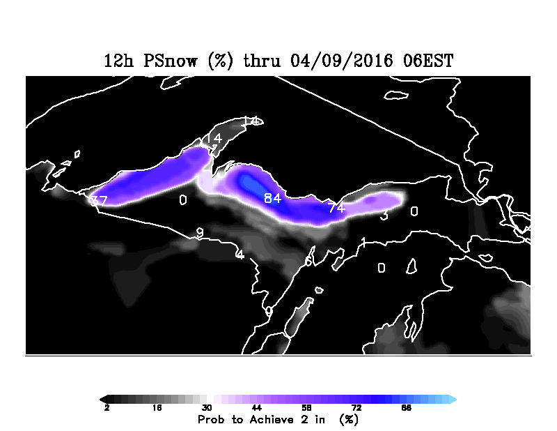
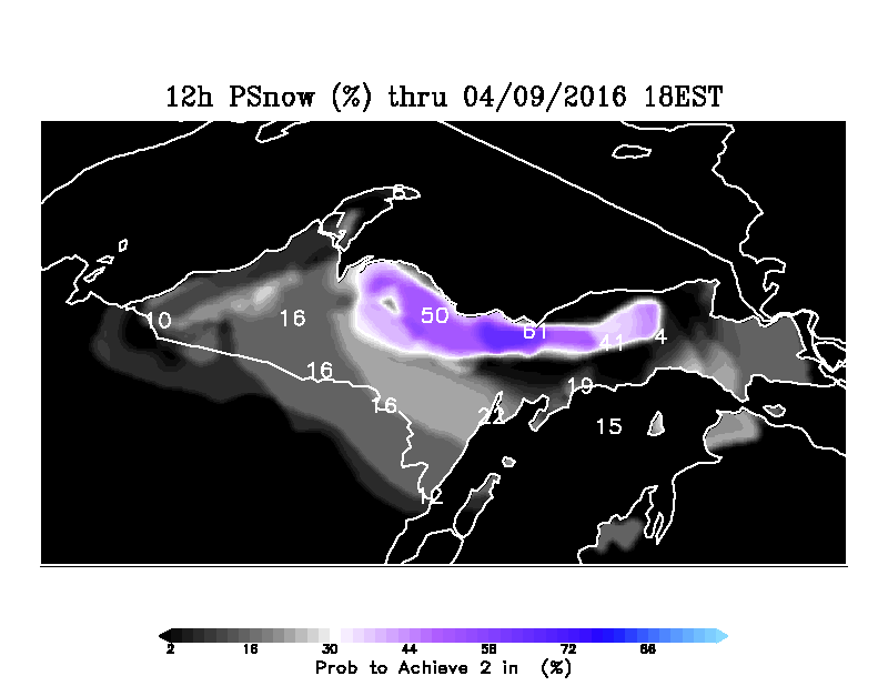
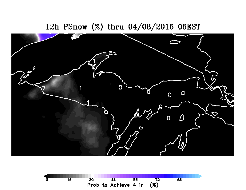
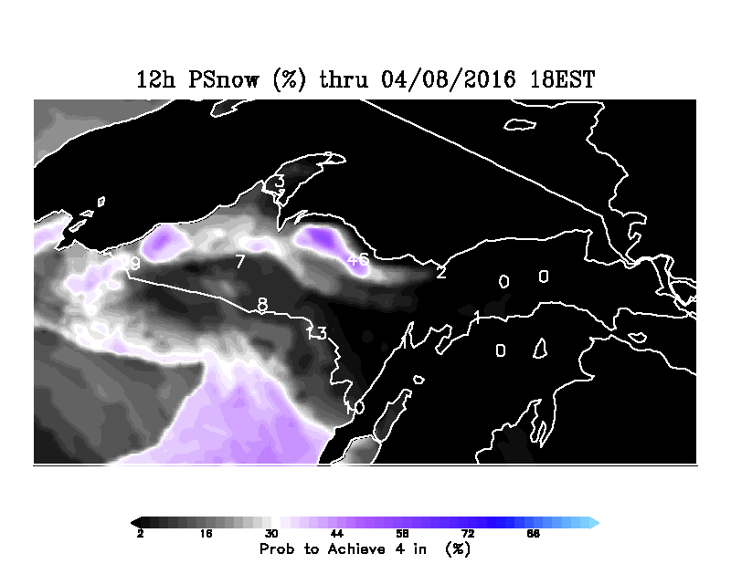
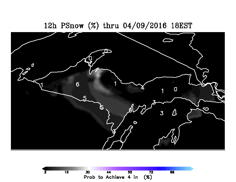
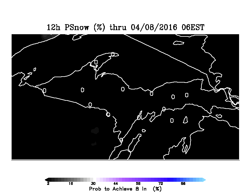
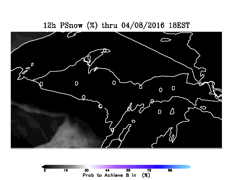
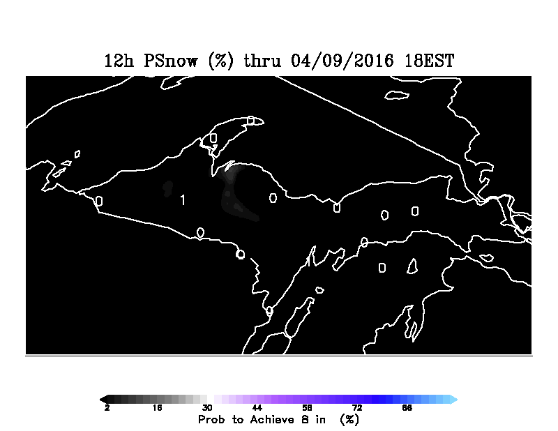
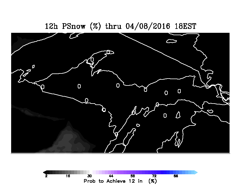
Probabilistic quantitative precipitation forecasts (PQPF) and quantitative snowfall (PSnow) provide our best estimate of the chance that any given location will receive an amount of rain/snow that exceeds a certain threshold value. For more information go to https://www.weather.gov/mqt/pqpf_explain.
ending at 8am -- ending at 8pm |
ending at 8am -- ending at 8pm |
ending at 8am -- ending at 8pm |
|
| > 1.0" |  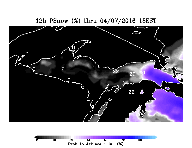 |
  |
  |
| > 2.0" | 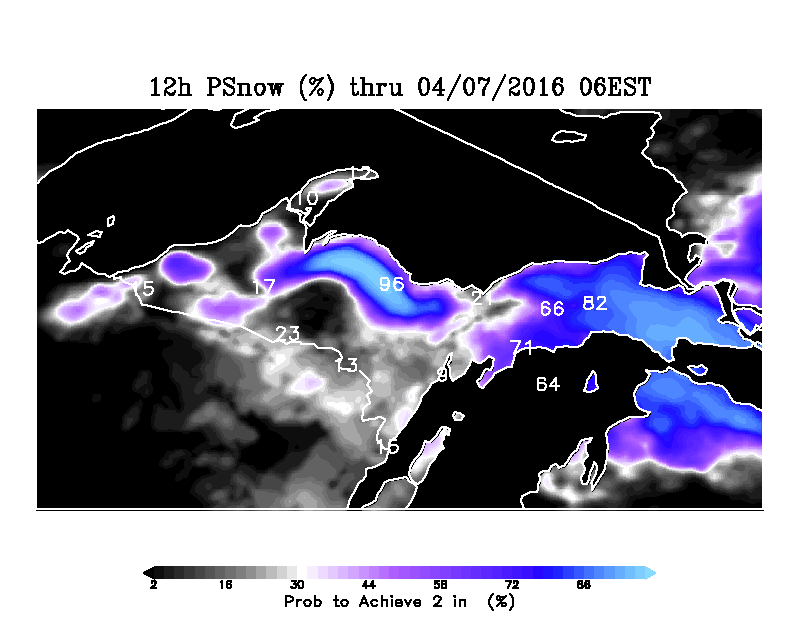 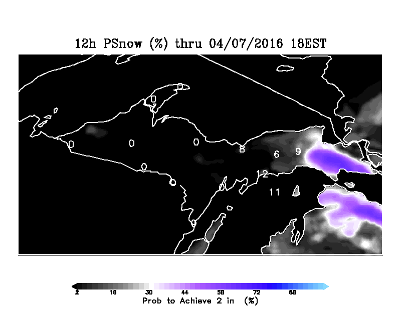 |
  |
  |
| > 4.0" | 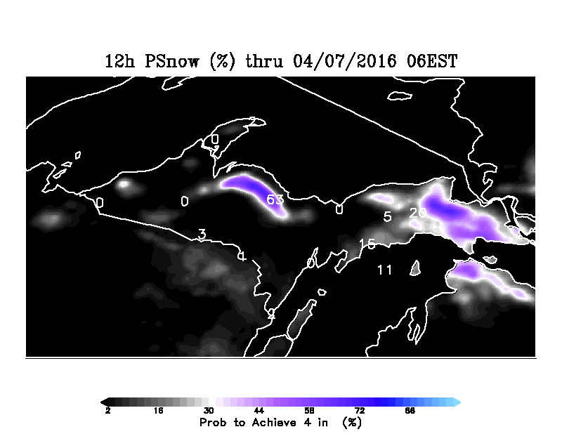 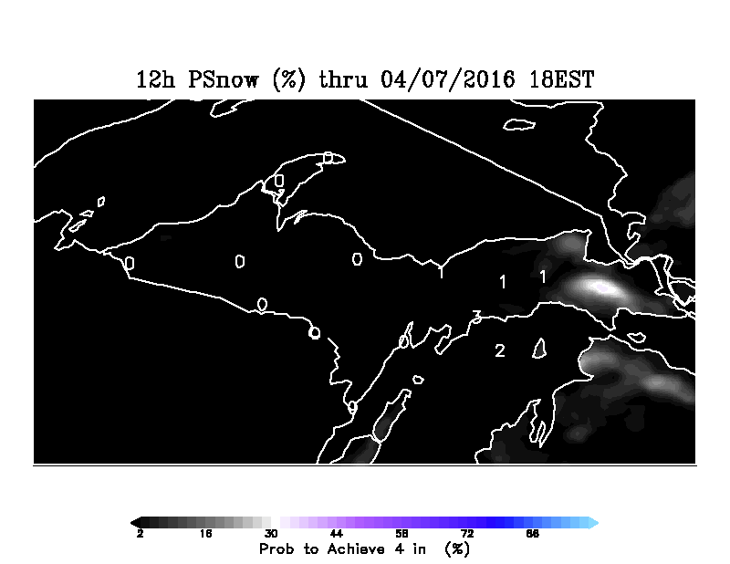 |
  |
  |
| > 8.0" | 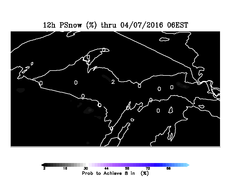  |
  |
  |
| > 12" |   |
  |
  |
| > 18" | 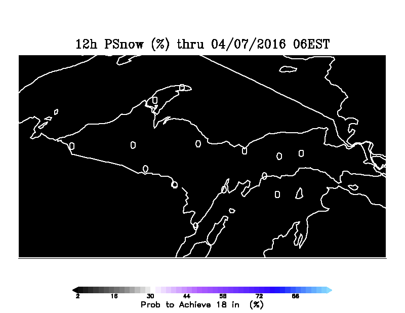  |
  |
  |
| > 24" |   |
  |
  |
ending at 8am -- ending at 8pm |
ending at 8am -- ending at 8pm |
ending at 8am -- ending at 8pm |
|
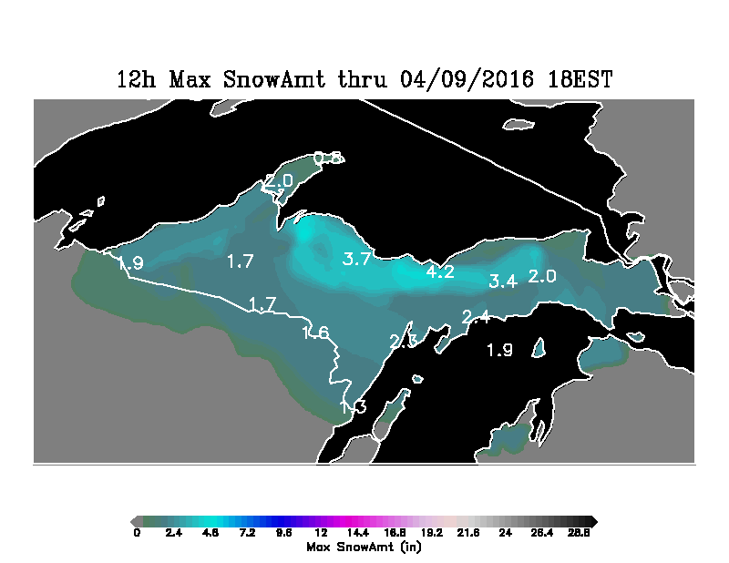
| Maximum | 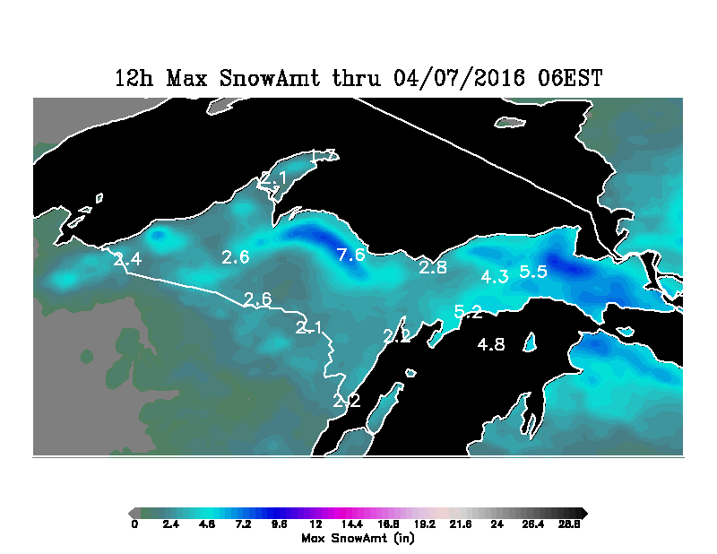 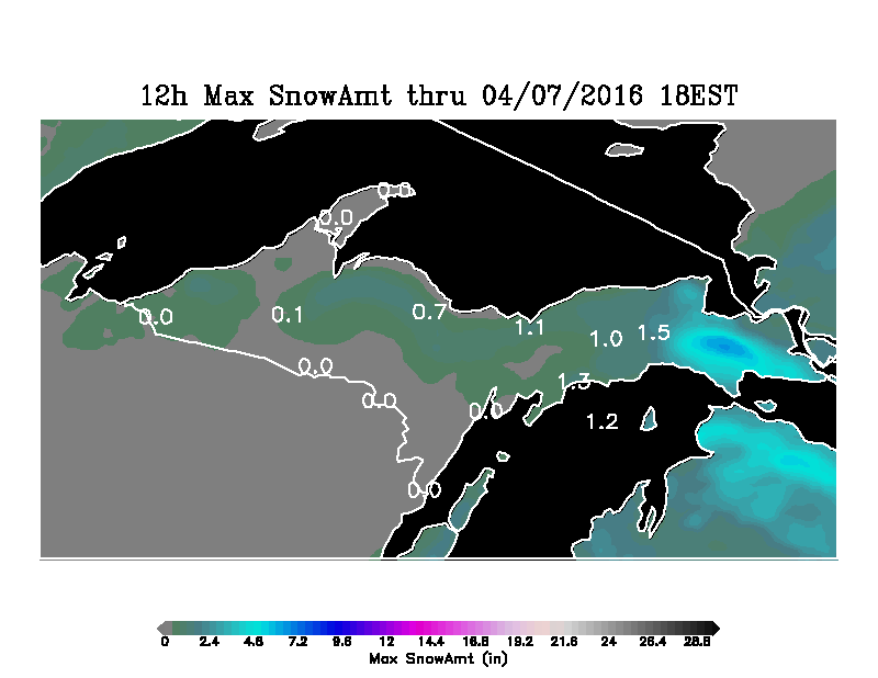 |
  |
  |
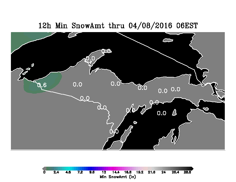
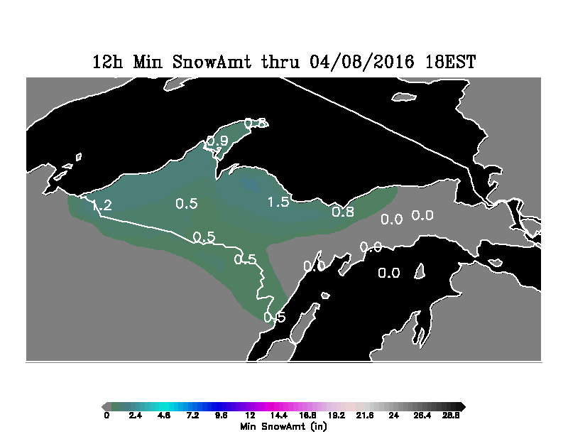
| Minimum | 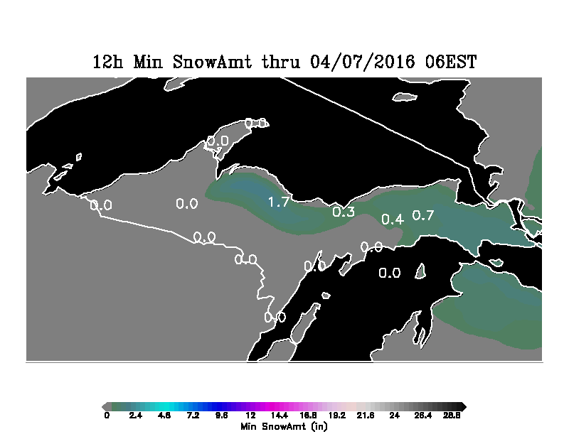  |
  |
  |
ending at 8am -- ending at 8pm |
ending at 8am -- ending at 8pm |
ending at 8am -- ending at 8pm |
  |
  |
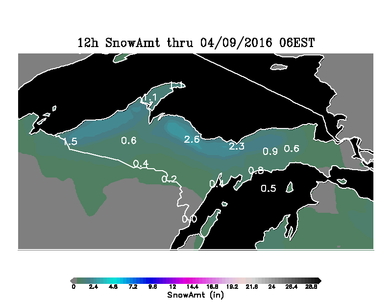 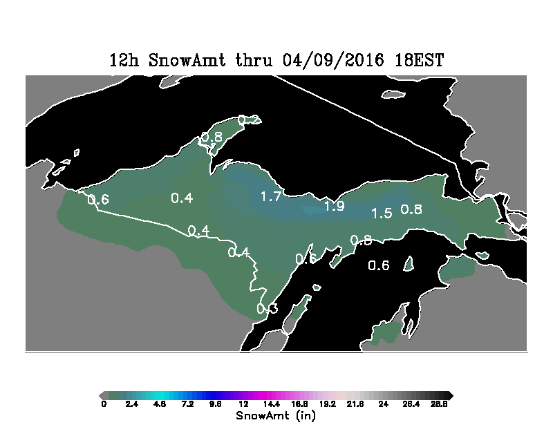 |
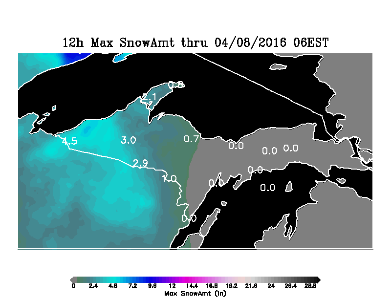
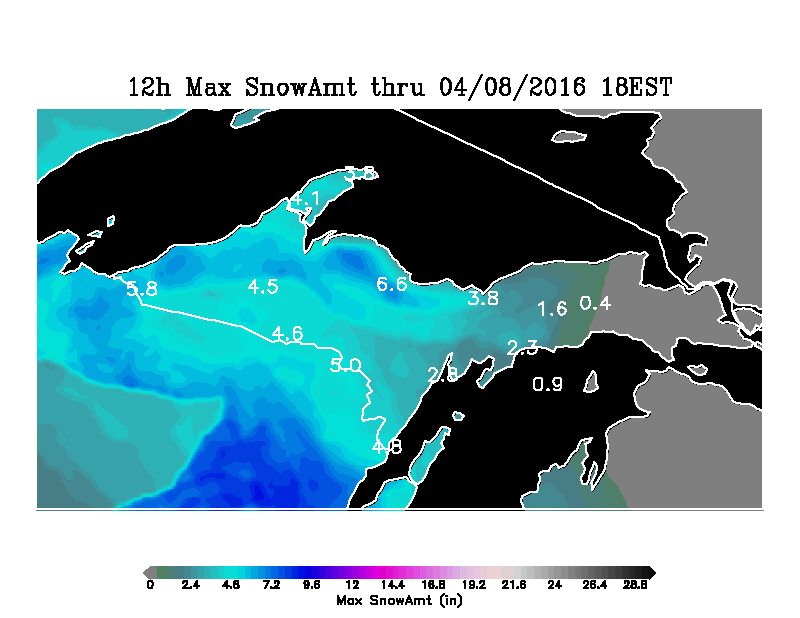
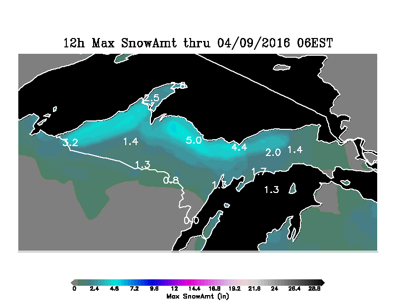
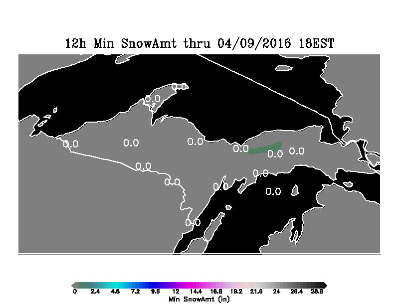
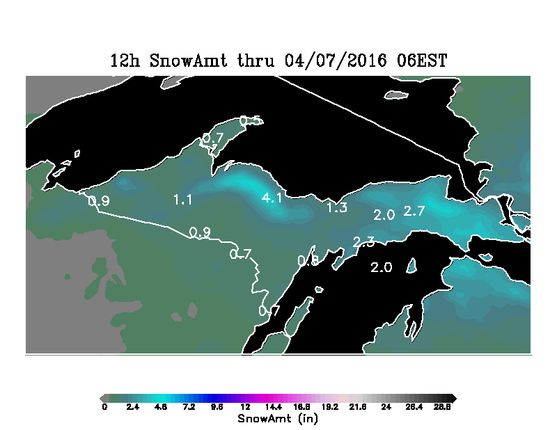
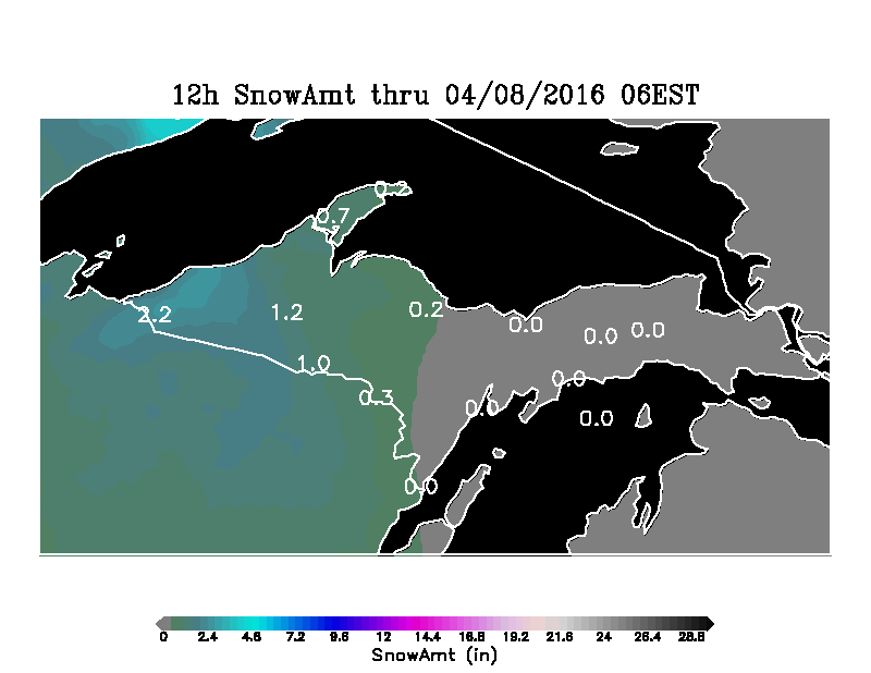
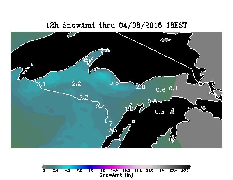
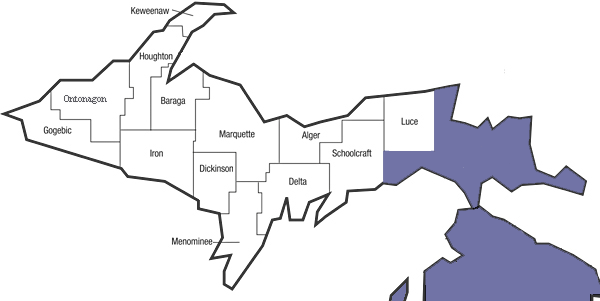
Click the map for the 12 hour Snowfall Forecast for each county
US Dept of Commerce
National Oceanic and Atmospheric Administration
National Weather Service
Marquette, MI
112 Airpark Drive South
Negaunee, MI 49866
906-475-5212
Comments? Questions? Please Contact Us.

