Marquette, MI
Weather Forecast Office
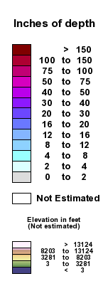
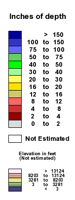
Green Bay Area Snow Depth |
|
| Snow Depth | Snow Depth - High Contrast |
  |
|
|
For an interactive version of this map, please visit National Operational Hydrologic Remote Sensing (NOHRSC) |
|
|
This map is created using observed snow depth from National Weather Service trained observers, satellite information and aerial snow surveys. This map is a product of the National Operational Hydrologic Remote Sensing office located in Chanhassen, MN. Note: Snow depth values may be derived from yesterdays reports depending on the frequency of observations that are received by the National Weather Service and the times when the above map is created by the National Operational Hydrologic Remote Sensing Center. |
|
US Dept of Commerce
National Oceanic and Atmospheric Administration
National Weather Service
Marquette, MI
112 Airpark Drive South
Negaunee, MI 49866
906-475-5212
Comments? Questions? Please Contact Us.

