
A prolonged atmospheric river will continue impacting the Pacific Northwest with heavy rainfall which has lead to areas of urban and river flooding along with gusty winds into Thursday. A clipper will bring heavy snow, some mixed wintry precipitation, and gusty to high winds across the northern Plains, Upper Midwest, and the Great Lakes into Thursday morning. Read More >
Last Map Update: Tue, Dec 9, 2025 at 2:38:43 pm PST

|
Text Product Selector (Selected product opens in current window)
|
|


 San Francisco Radar
 Sacramento Radar
 Satellite
 Weather Map
 Local Graphical Forecast
 U.S. Graphical Forecasts
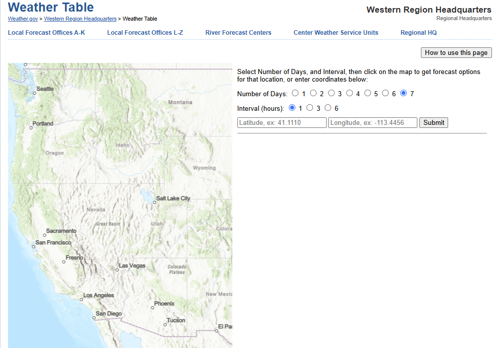 Forecast Weather Tables
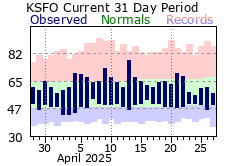 Recent MTR Temperatures
 Fire Weather
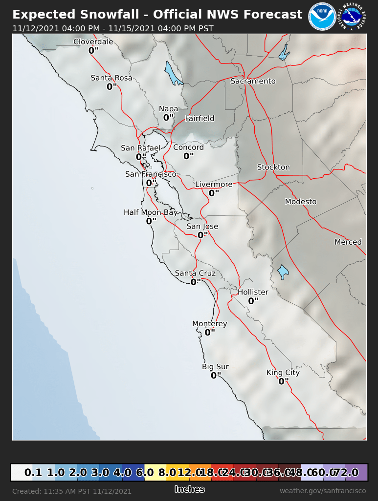 Probabilistic Snowfall Forecasts
 Heat Risk Link