
Dangerous, record-breaking heat will continue across most of the central and eastern U.S this week. Heat indices will exceed 100 degrees. Severe storms will be possible from the northern Plains into the Midwest and Great Lakes regions, as well as across the southern Appalachians Thursday, with the primary threat large to very large hail. Critical fire weather to continue in the Four Corners Region Read More >
Last Map Update: Wed, Jul 1, 2026 at 7:44:25 pm PDT
|
Text Product Selector (Selected product opens in current window)
|
|


 San Francisco Radar
 Sacramento Radar
 Satellite
 Weather Map
 Local Graphical Forecast
 U.S. Graphical Forecasts
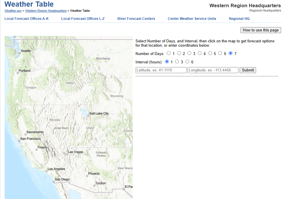 Forecast Weather Tables
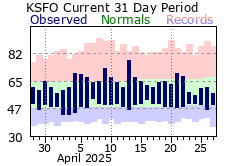 Recent MTR Temperatures
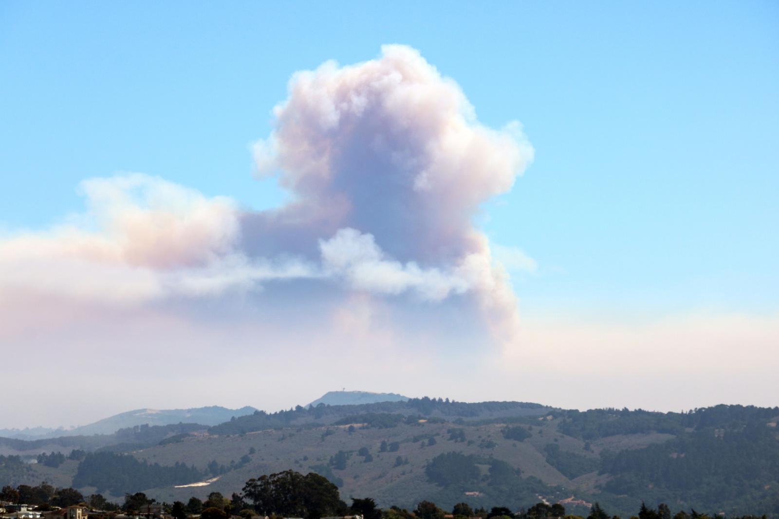 Fire Weather
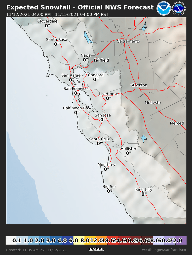 Probabilistic Snowfall Forecasts
 Heat Risk Link
 Weather Stats