
The atmospheric river over the Pacific Northwest will begin to subside today, but lingering rainfall will exacerbate ongoing catastrophic major river flooding, and landslides will continue across portions of western Washington and northwest Oregon for several days. Arctic air will plummet southward into the Northern Plains today, bringing cold air in the single digits to the region by Friday. Read More >
Last Map Update: Thu, Dec 11, 2025 at 11:00:14 am PST

|
Text Product Selector (Selected product opens in current window)
|
|


 San Francisco Radar
 Sacramento Radar
 Satellite
 Weather Map
 Local Graphical Forecast
 U.S. Graphical Forecasts
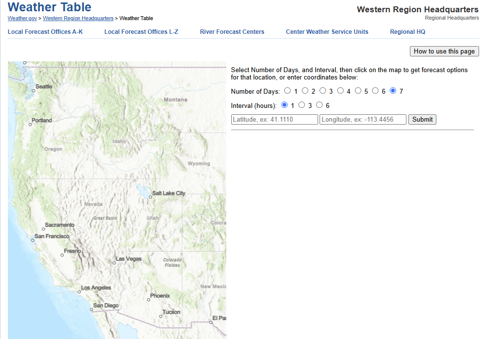 Forecast Weather Tables
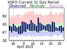 Recent MTR Temperatures
 Fire Weather
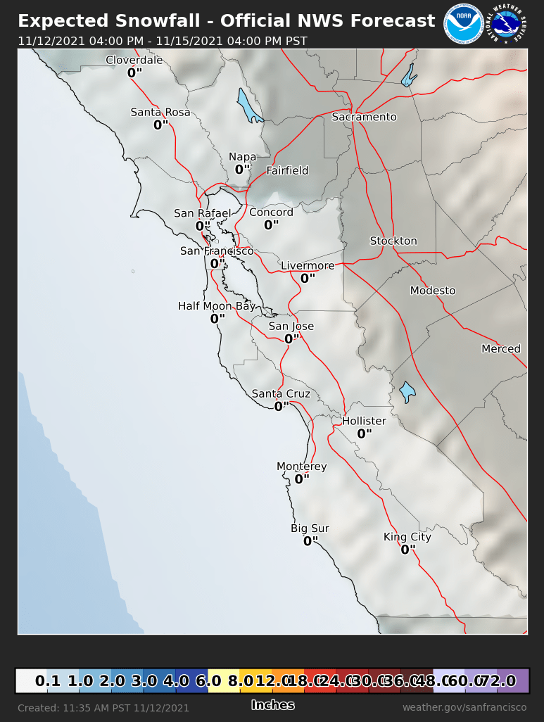 Probabilistic Snowfall Forecasts
 Heat Risk Link