
Well above normal temperatures are forecast to shift from the northern Plains through the Northeast U.S. over the long holiday weekend. A few strong to severe thunderstorm will be possible as well along with a potential for excessive rainfall. A tropical or subtropical depression could form off the Southeast U.S. coast over the weekend while drifting northward to northeastward. Read More >
Last Map Update: Fri, Jul 4, 2025 at 9:02:18 am PDT


|
Text Product Selector (Selected product opens in current window)
|
|


 San Francisco Radar
 Sacramento Radar
 Satellite
 Weather Map
 Local Graphical Forecast
 U.S. Graphical Forecasts
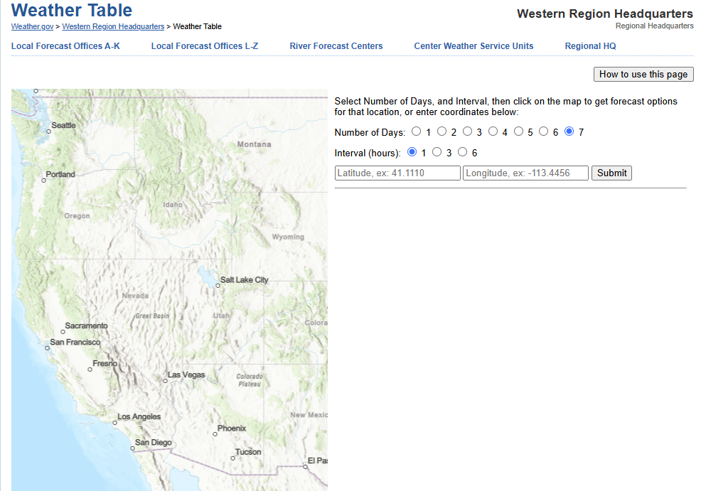 Forecast Weather Tables
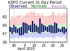 Recent MTR Temperatures
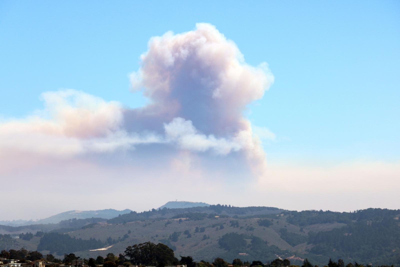 Fire Weather
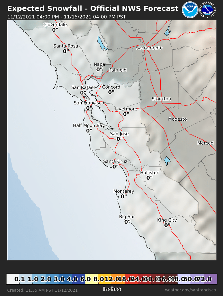 Probabilistic Snowfall Forecasts
 Heat Risk Link