National Weather Service United States Department of Commerce
Click a location below for detailed forecast.

Last Map Update: Tue, Jul 28, 2026 at 4:18:53 pm CDT

The Extreme Heat Watch has been upgraded to a warning for Tuesday from 11am to 8pm CT. Heat index values up to 115 degrees expected, especially around the Lakes and MS Coast. Heat Advisory in effect for all other areas outside of the warning. Stay hydrated and take frequent breaks if working outside.
Today and Wednesday will still be quite hot with highs in the mid to upper 90s and heat index values well above 100 F. However, a little relief may be coming for some spots later this week as chances of showers and storms increase starting Thursday. However, despite the chances of rain, it'll still be quite warm with heat index values in the 100s.
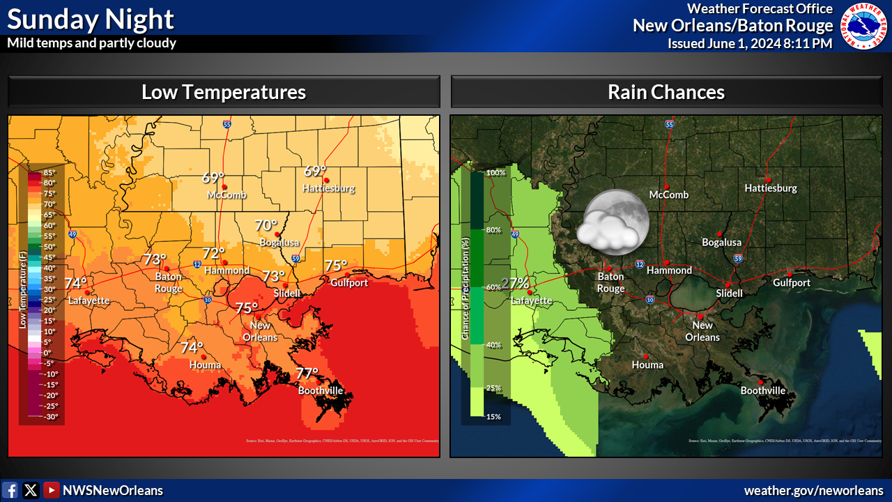
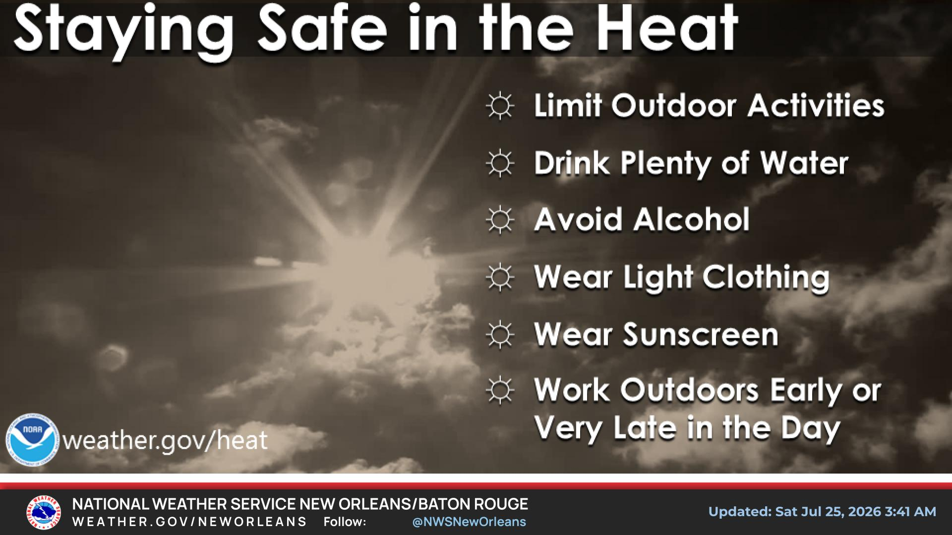
We've been advertising high, possibly dangerous, temperatures for a couple days now.  Here a some safety tips from our archives for protecting yourself.


CoCoRaHS
CoCoRaHS - Click for more information
Submit
Storm Report

Submit a Storm Report

River Stages
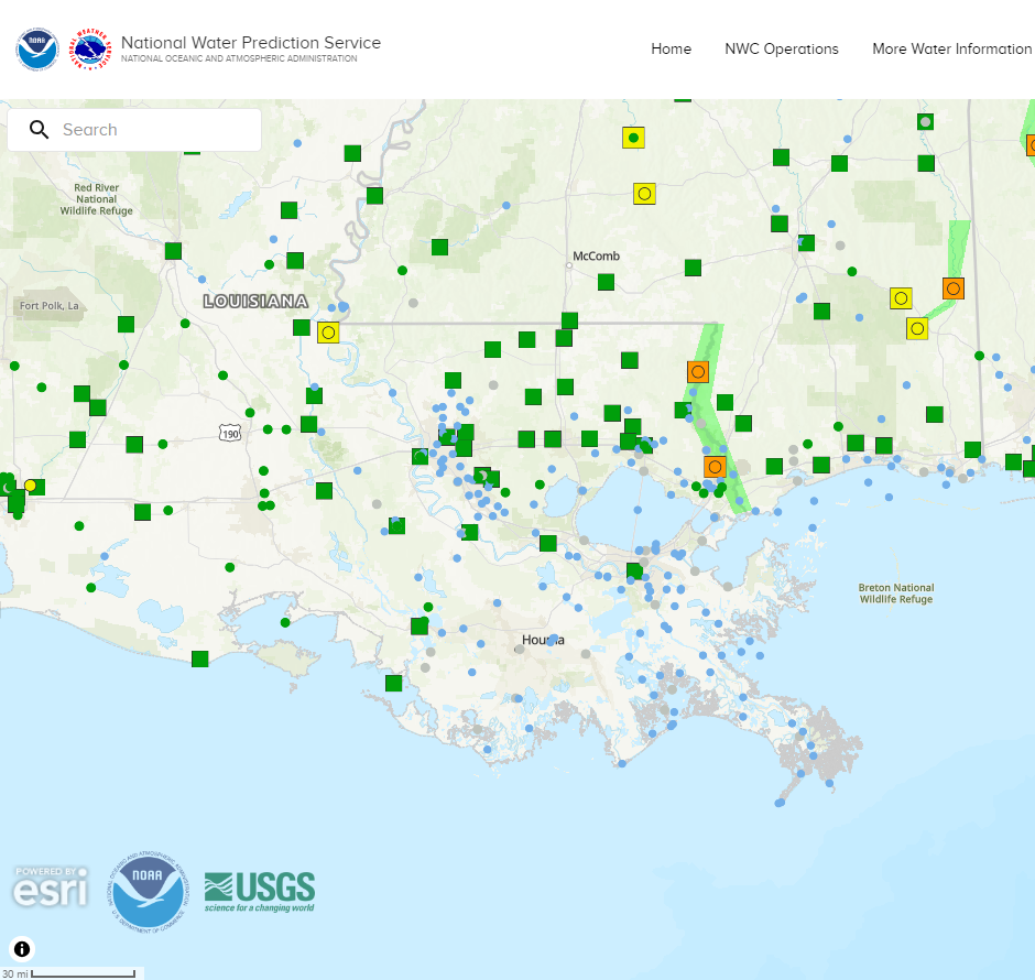
Latest River Stages


Quick Access to Text Products


 Current Weather Observations...
Location Time
(CDT)
Weather Vsby.
(SM)
Temp.
(ºF)
Dewpt.
(ºF)
Hum.
(%)
Wind
(mph)
Wind Chill / Heat Index
(ºF)
Pres.
(in)
Baton Rouge LA15:53Clear10947554WSW 10106 [HI]29.88
Biloxi MS15:55Partly Cloudy10957856WSW 16111 [HI]29.82
Gulfport MS15:53Mostly Clear10947860SW 7110 [HI]29.84
Hammond LA15:55Partly Cloudy10977346W 10107 [HI]29.87
Houma LA15:47Partly Cloudy7937556WSW 12G18105 [HI]29.90
McComb MS15:53Partly Cloudy10967144WSW 7104 [HI]29.87
New Orleans LA15:53Towering Cumulus Clouds Observed10947554W 9106 [HI]29.88
Slidell La15:53Clear10947554W 8106 [HI]29.86