National Weather Service United States Department of Commerce

Thunderstorms from the Plains into the Central Appalachians; Heavy Rain in the Central Gulf Coast; Heat Across Portions of the East

Widespread showers and thunderstorms are likely from from northeast New Mexico/Southeast Colorado, eastward into the Central Plains through the Central Appalachians. Slow moving low to bring heavy rainfall to the Central Gulf Coast into the weekend. Dangerous heat is expected from the Lower Mississippi Valley, Tennessee Valley, Ohio Valley into the Mid-Atlantic and Northeast. Read More >

NWR Coverage


Alaska Map


Coverage Map Notes

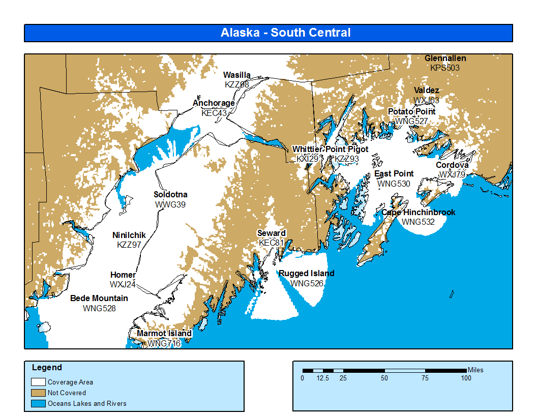
The coverage statistics and maps are calculated using a computer model and station data assuming ideal conditions. Coverage may be 5 to 10 percent below the computer predicted coverage for the following reasons:

  • The computer model is sensitive to antenna performance. Antenna performance is a function of local conditions, causing signals to be stronger signal level in some directions than others.
  • Placement of NWR antennas is dictated by the tower owner, which may result in a less than ideal set up.
  • The antenna may be affected by nearby structures or bodies of water.
  • In some special instances, the antenna may have been intentionally adjusted to be "directional" and provide better coverage to a specific area to the detriment of other areas.
  • Because of variations in local site conditions, the performance of an individual transmitter and antenna may be less than predicted or expected.
  • Seasonal environmental conditions, such as icing or heavy rain, affect performance of a transmitter station and its various components, particularly those subject to continuous weather exposure.
  • The coverage maps are shown in a single color format, which relates to an estimated signal level.
    • White: Signal level of greater than 18dBuV: Reliable coverage