
Scattered damaging winds, isolated severe hail, and a brief tornado or two are possible from the Upper Ohio to Tennessee Valleys during the late afternoon and evening. Across the Southwest, monsoonal moisture will continue to bring heavy rain and a threat for isolated to scattered flash flooding through Saturday. Read More >
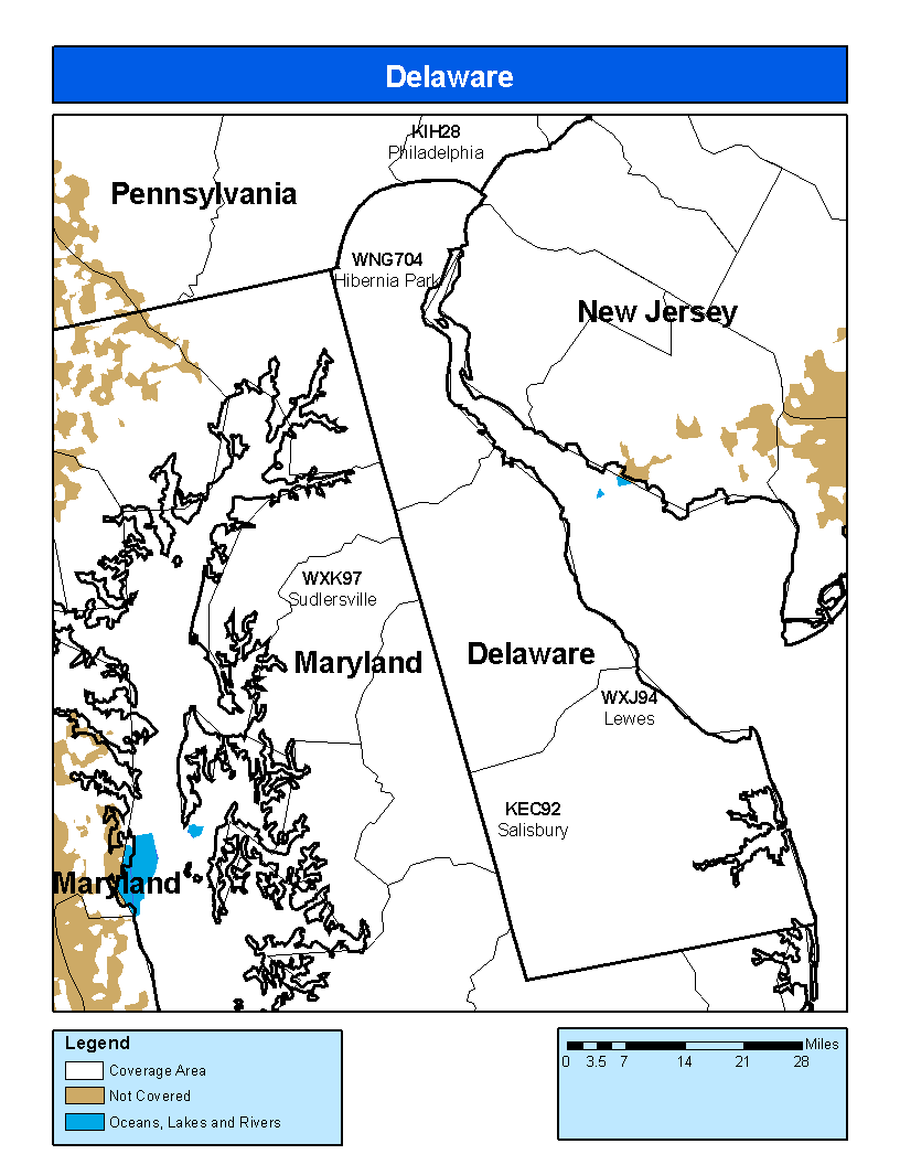
Coverage Map Notes
The coverage statistics and maps are calculated using a computer model and station data assuming ideal conditions. Coverage may be 5 to 10 percent below the computer predicted coverage for the following reasons:

