
A significant late season heat wave continues in the interior Pacific Northwest for at least one more day before easing somewhat Friday into Saturday. A combination of monsoonal moisture and tropical moisture ahead of tropical cyclone Lorena will bring a marginal to slight risk of excessive rainfall across the southwest U.S. through Saturday which may bring areas of flooding. Read More >
Coverage Map Notes
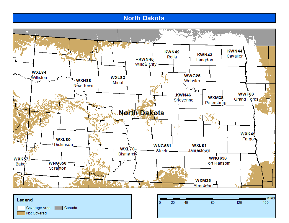
The coverage statistics and maps are calculated using a computer model and station data assuming ideal conditions. Coverage may be 5 to 10 percent below the computer predicted coverage for the following reasons:

