
Strong thunderstorms may bring excessive rainfall and flooding over parts of the northern Gulf Coast today and over parts of the southern Rockies into the High Plains today through the weekend. A refreshingly cool and dry air mass will continue to produce below average temperatures across the central and eastern U.S. through the weekend. Read More >
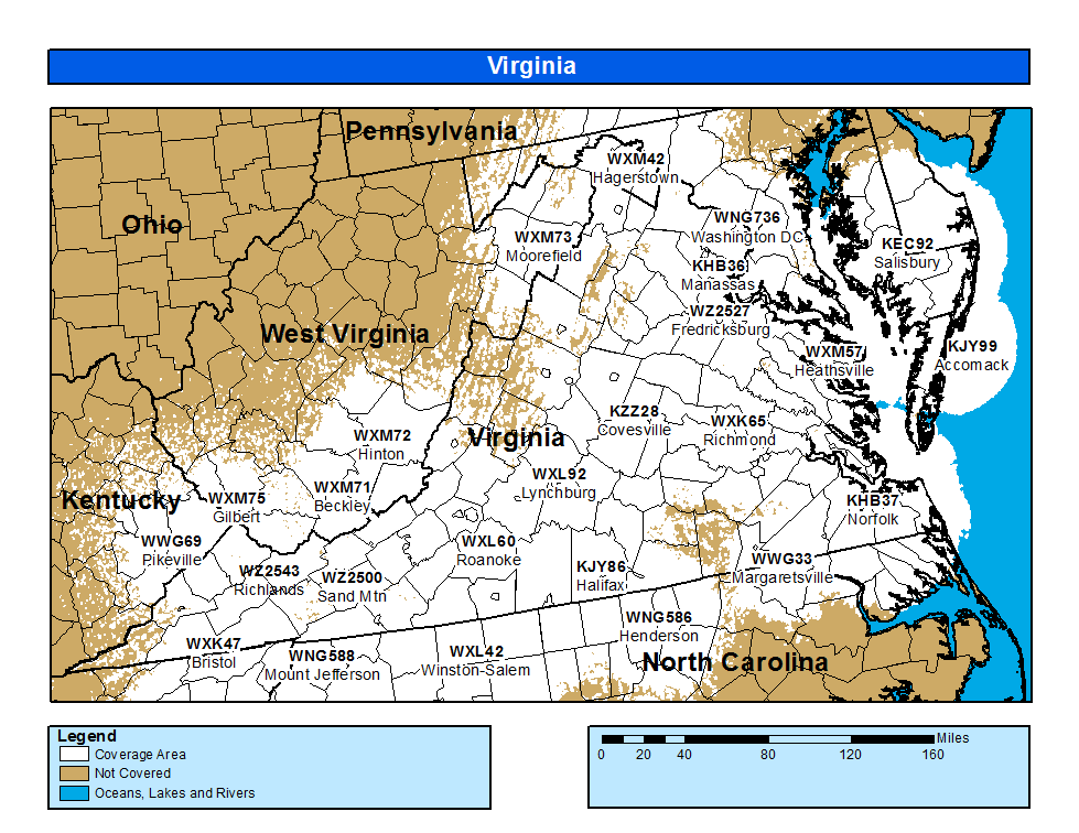
Coverage Map Notes
The coverage statistics and maps are calculated using a computer model and station data assuming ideal conditions. Coverage may be 5 to 10 percent below the computer predicted coverage for the following reasons:

