
Deep tropical moisture surging into the Southwest U.S. will lead to widespread showers and thunderstorms capable of producing flash flooding the next several days. A strong coastal low will develop late Friday and is expected to bring flooding, high surf, dangerous rip currents, gusty winds and heavy rain to much of the U.S. East Coast through early next week. Read More >
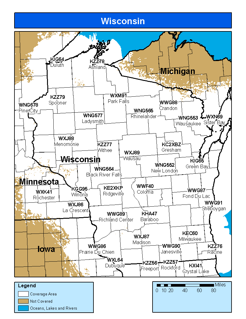
Coverage Map Notes
The coverage statistics and maps are calculated using a computer model and station data assuming ideal conditions. Coverage may be 5 to 10 percent below the computer predicted coverage for the following reasons:

