Paducah, KY
Weather Forecast Office
|
Top 10 Event Summaries for the Year 2015 NOTE: All of the following links are to PDF documents (Adobe Acrobat Reader required) |
|||||
1. Mar. 4-5 Snowstorm (up to 19") 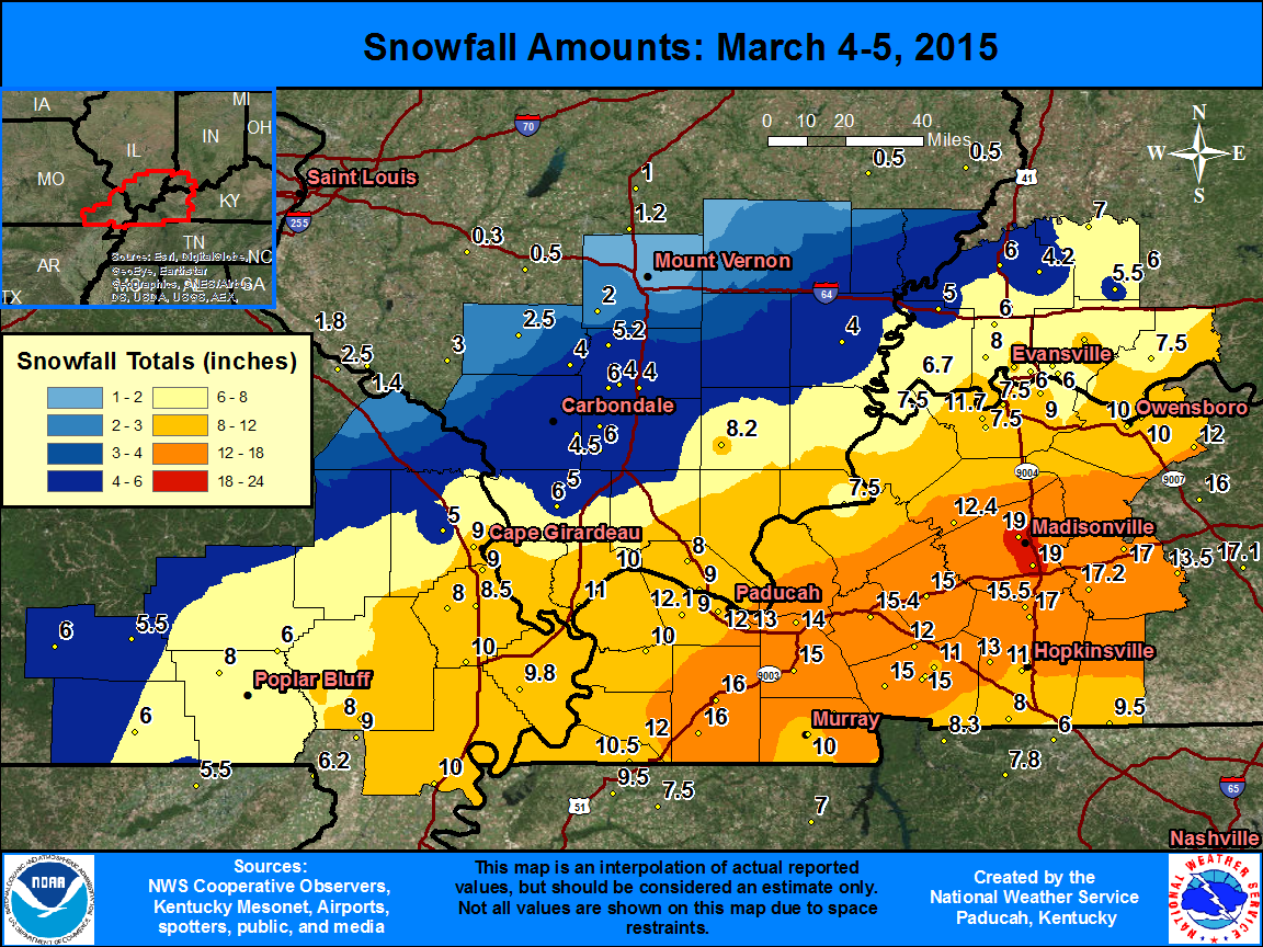 |
2. Feb. 16 Winter Storm (up to a foot) 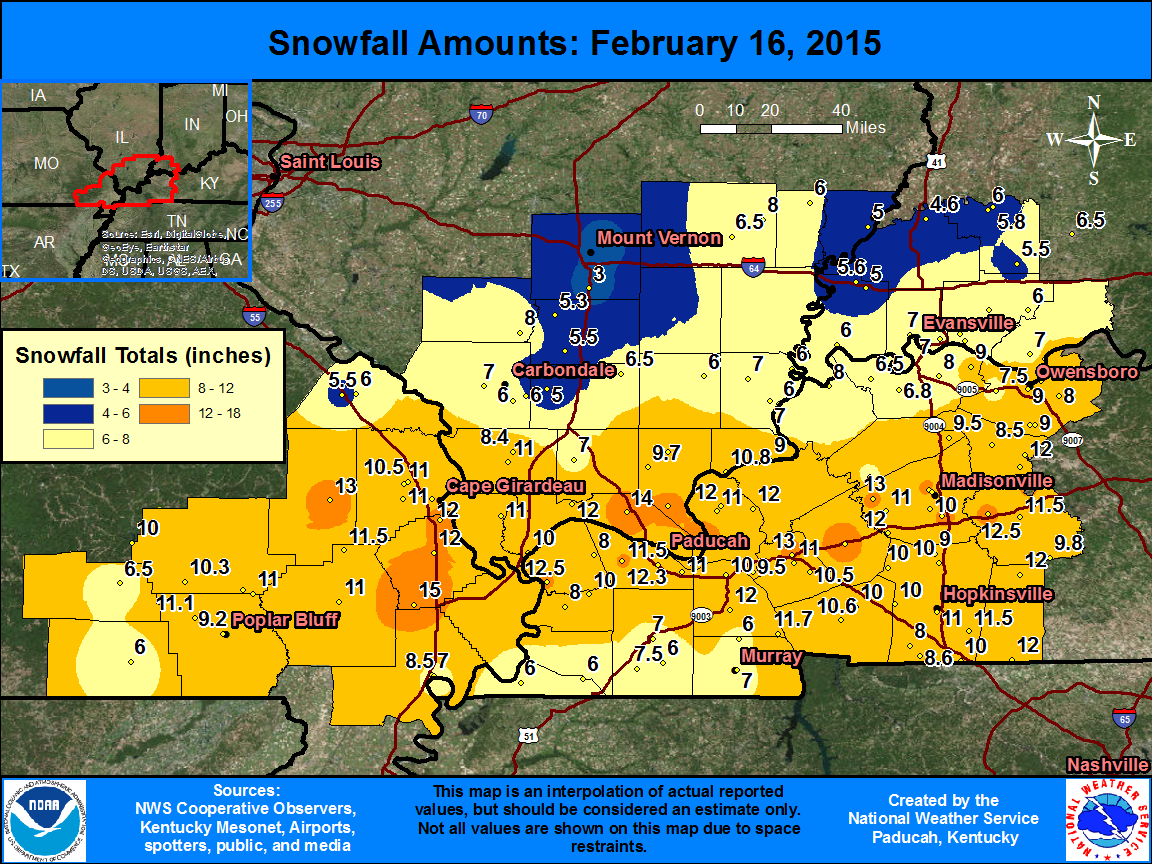 |
||||
3. Mar. 6 Record Cold (1 fatality).png) |
4. Feb. 17-19 Wind Chills (minus 10-24).png) |
||||
5. July Mississippi River Flooding (major)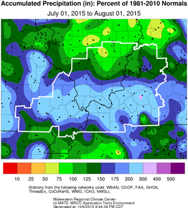 |
6. July 3-9 Flash Floods (1 fatality)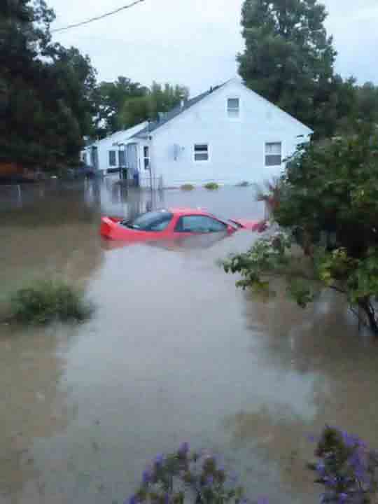 |
||||
7. Feb. 20-21 Ice/Sleet/Flooding (1 fatality)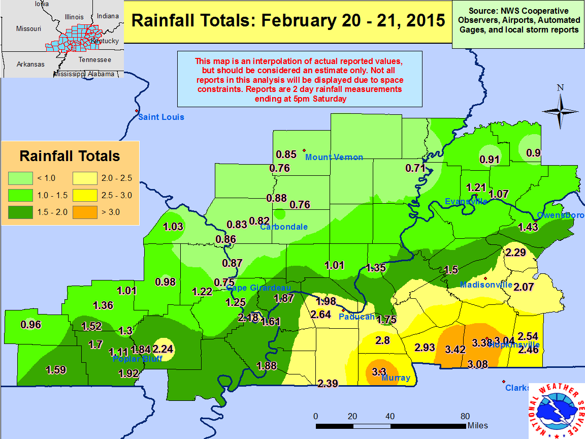 |
8. Jan. 15 Banded Snow (1 fatality)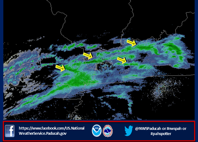 |
||||
9. June 19 Tornadoes/Flooding (Remnants of Bill)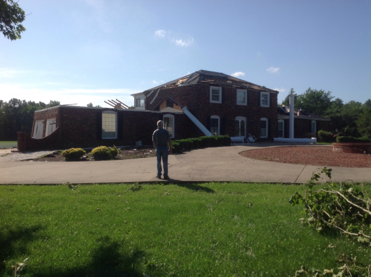 |
10. July 28 Caldwell Co. Flash Flood (1 fatality)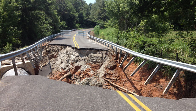 |
||||
FORECASTS
Forecast Discussion
User Defined Area Forecast
Hourly Forecasts
Fire Weather
Activity Planner
LOCAL INFORMATION
Aviation Weather
Our Office
SKYWARN
Items of Interest
Hazardous Weather Support
Local Observations
Weather History
NWS Paducah KY Weekly Partner Briefing

US Dept of Commerce
National Oceanic and Atmospheric Administration
National Weather Service
Paducah, KY
8250 Kentucky Highway 3520
West Paducah, KY 42086-9762
270-744-6440
Comments? Questions? Please Contact Us.


 Follow us on X
 Follow us on Facebook
 Follow us on YouTube
 PAH RSS Feed