National Weather Service United States Department of Commerce

Record Heat for the Intermountain West and Northern Plains; Heavy Rainfall and Severe Weather Threats

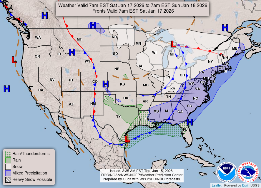
Record setting heat is expected over the next several days from the Intermountain West through the northern Plains. Furthermore, fire weather concerns increase with dry and breezy conditions. Meanwhile, heavy rainfall and severe thunderstorm threats for the Ohio/Tennessee Valleys, central Appalachians and Southeast today. The threat shifts to central Gulf Coast and across central Texas this week. Read More >
 

CPC Graphics

  8-14 Day Temps|Precip

  30-90 Day Temps|Precip

SPC Fire Weather Outlook

 Day 1

 Day 2

 Day 3-8

CPC Graphics

  8-14 Day Temps|Precip

  30-90 Day Temps|Precip

SPC Fire Weather Outlook

 Day 1

 Day 2

 Day 3-8

CPC Graphics

  8-14 Day Temps|Precip

  30-90 Day Temps|Precip

SPC Fire Weather Outlook

 Day 1

 Day 2

 Day 3-8

CPC Graphics

  8-14 Day Temps|Precip

  30-90 Day Temps|Precip

SPC Fire Weather Outlook

 Day 1

 Day 2

 Day 3-8

CPC Graphics

  8-14 Day Temps|Precip

  30-90 Day Temps|Precip

SPC Fire Weather Outlook

 Day 1

 Day 2

 Day 3-8

SPC Convective Outlook
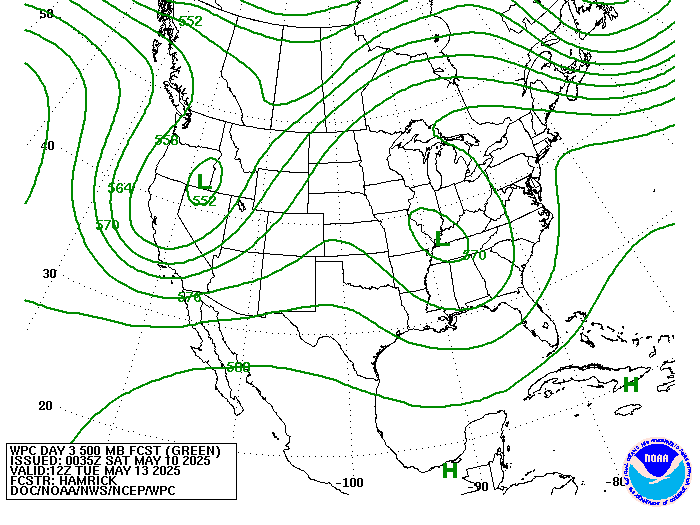
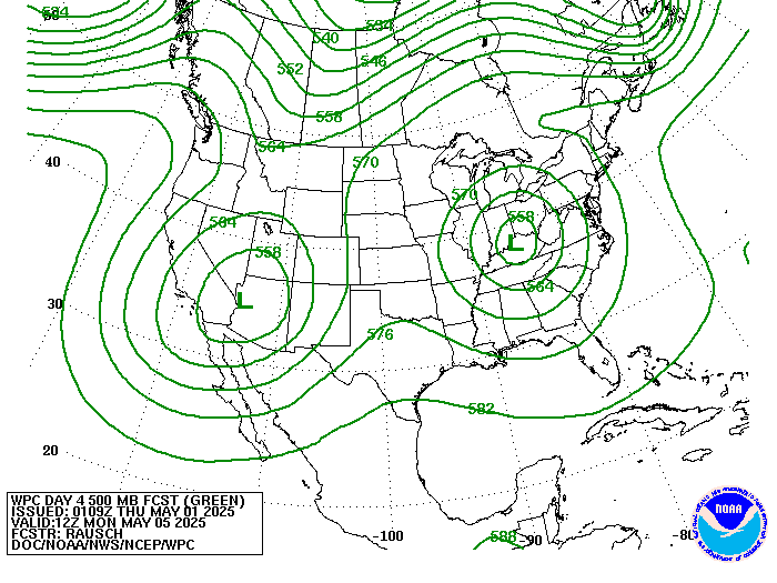
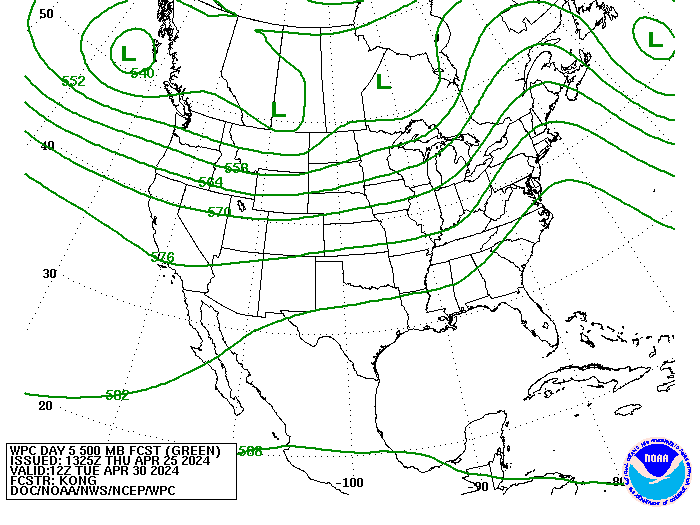
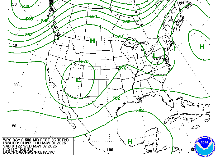
WPC Forecast Charts
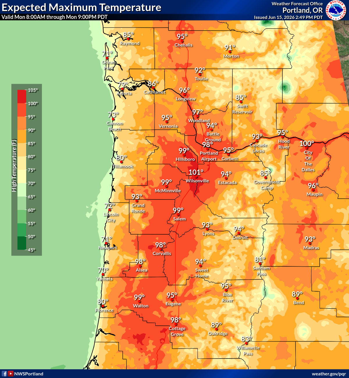
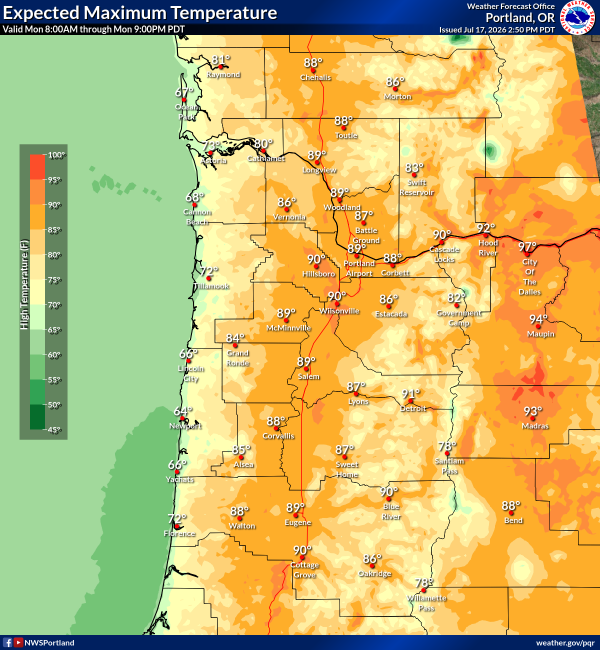
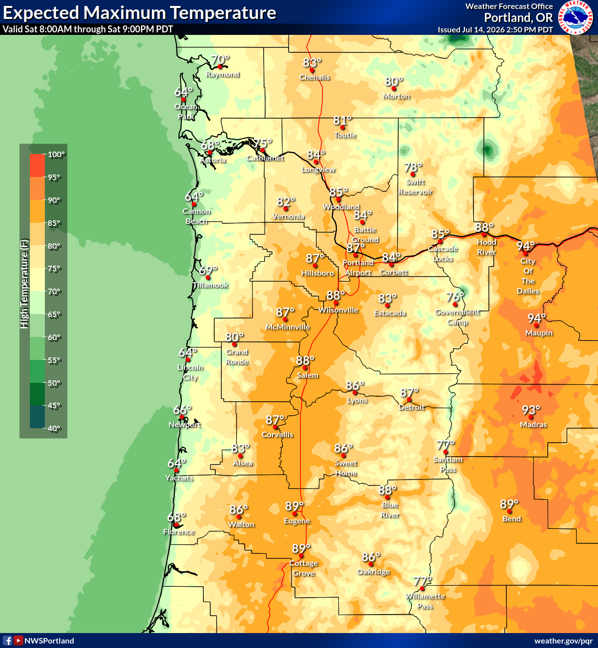
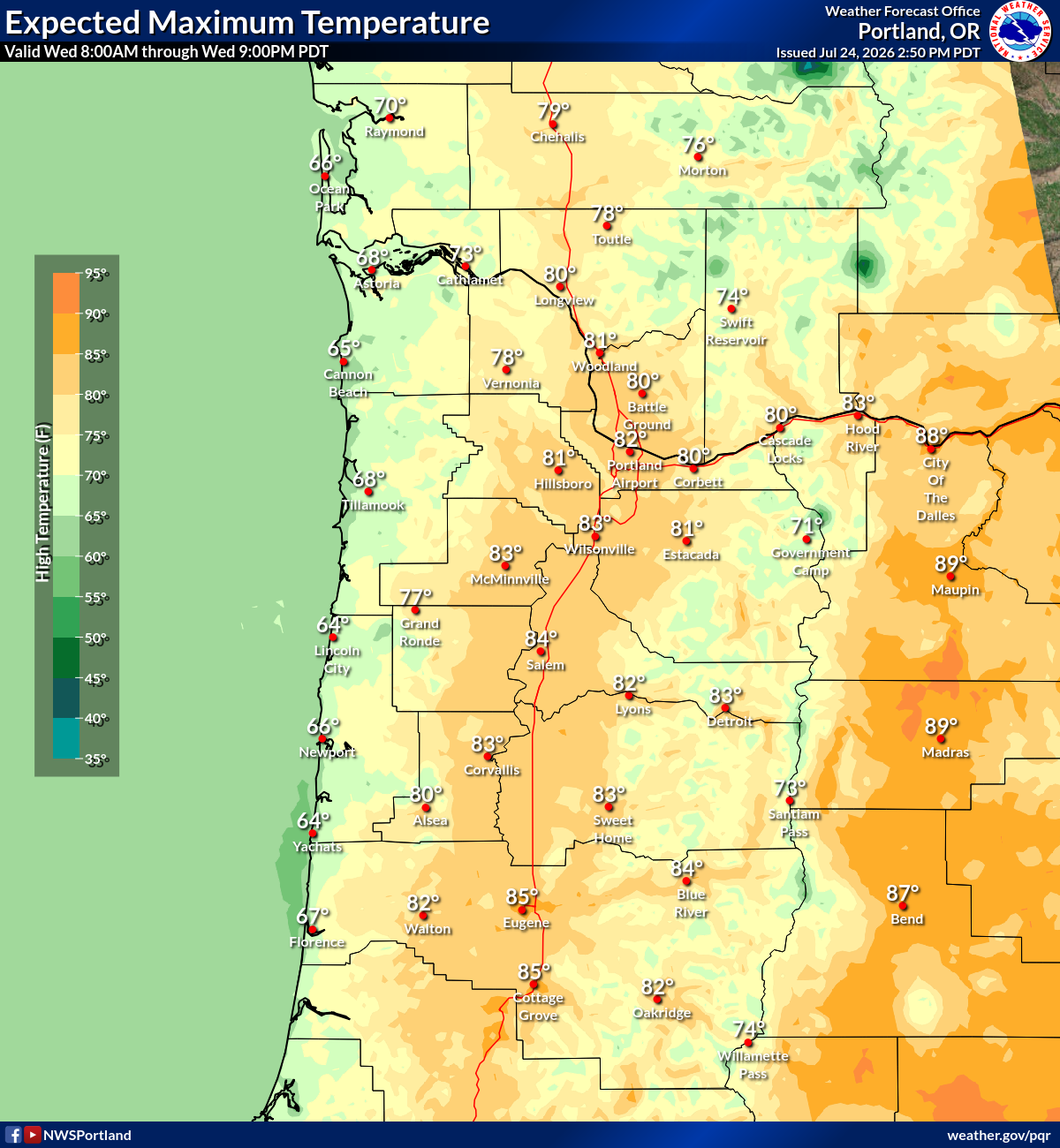
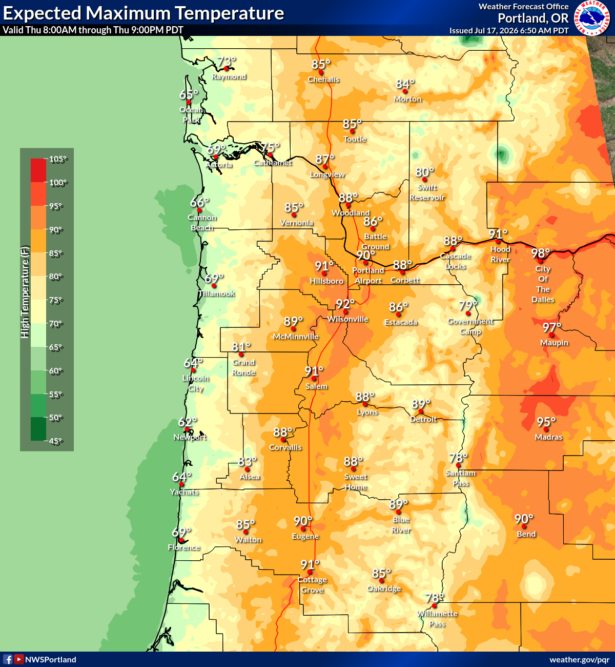
Max Temp
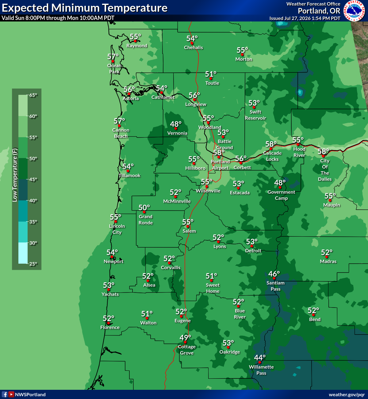
Min Temp
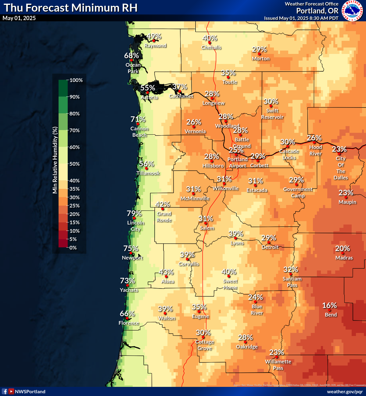
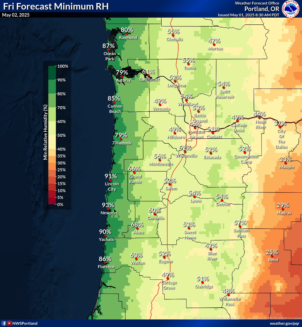
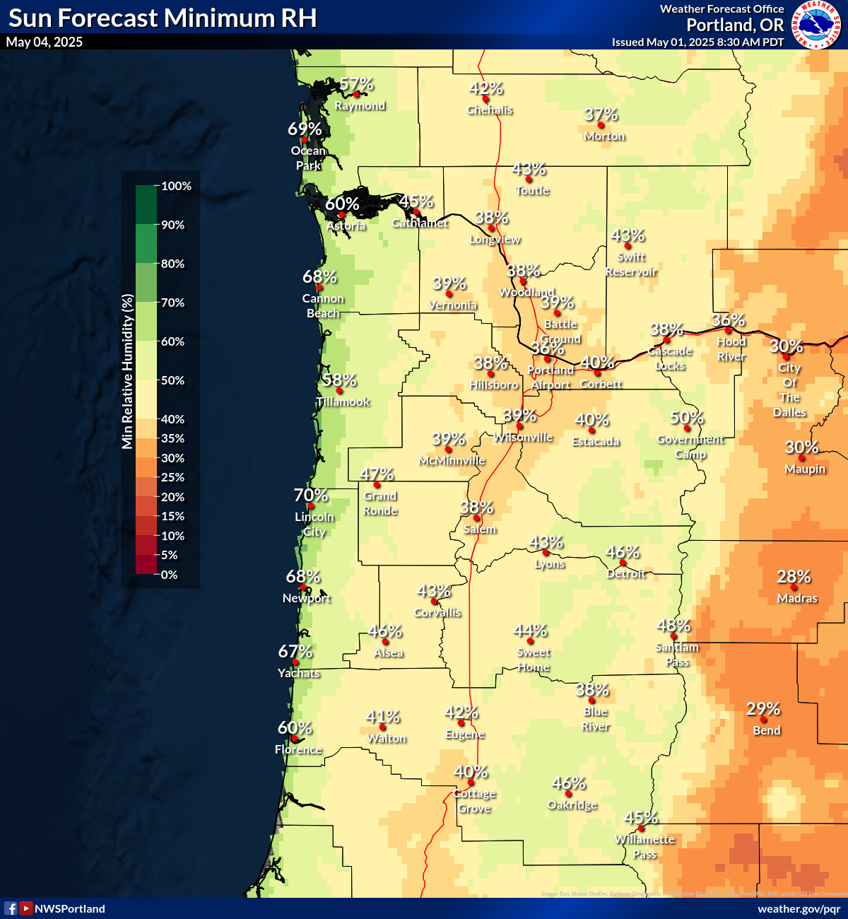
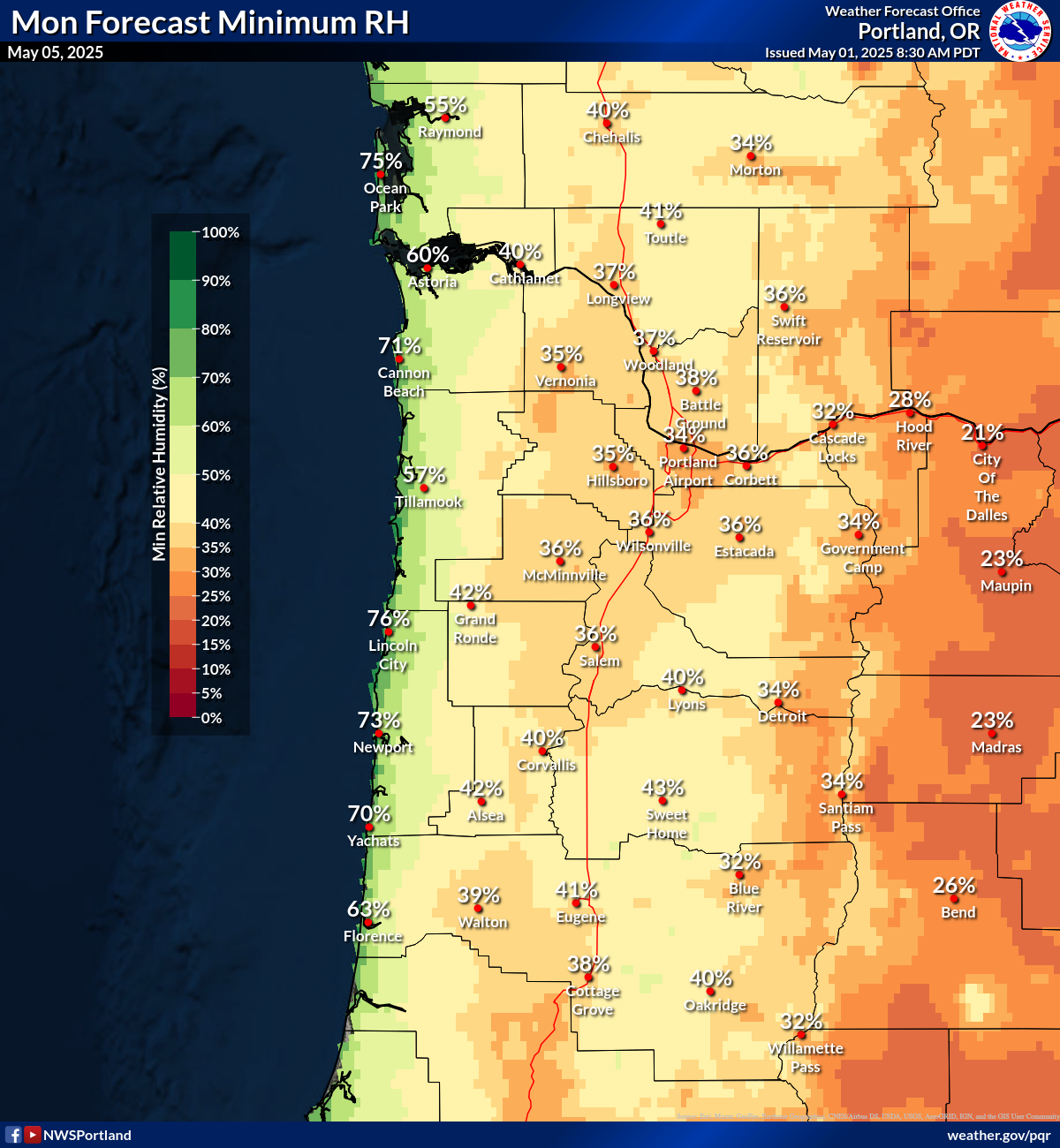
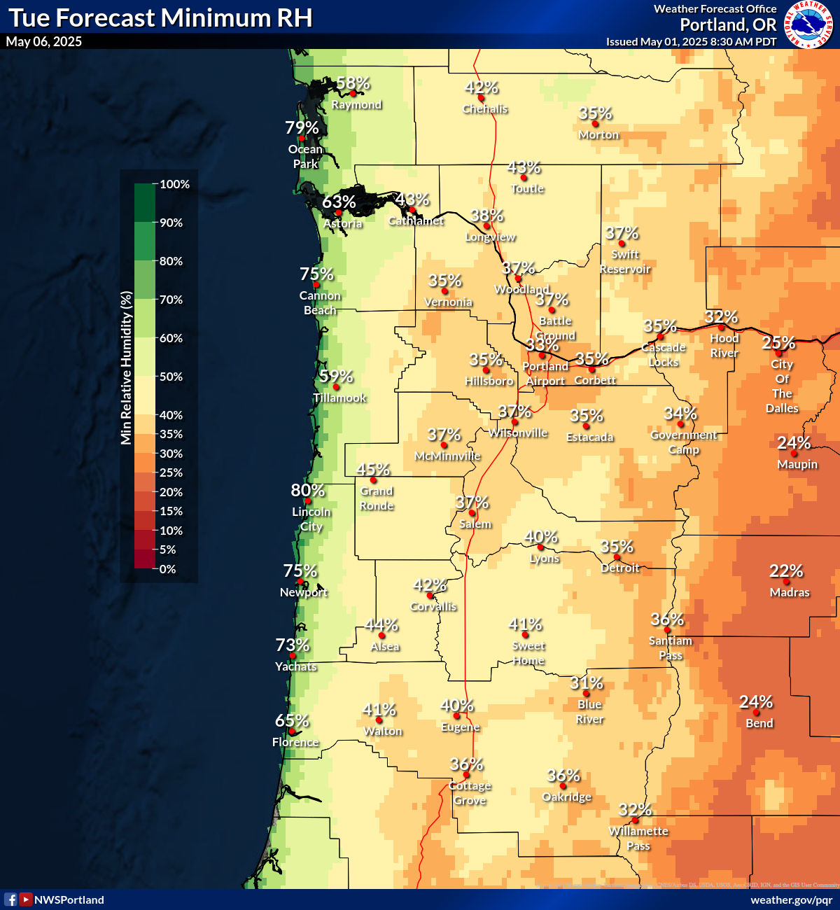
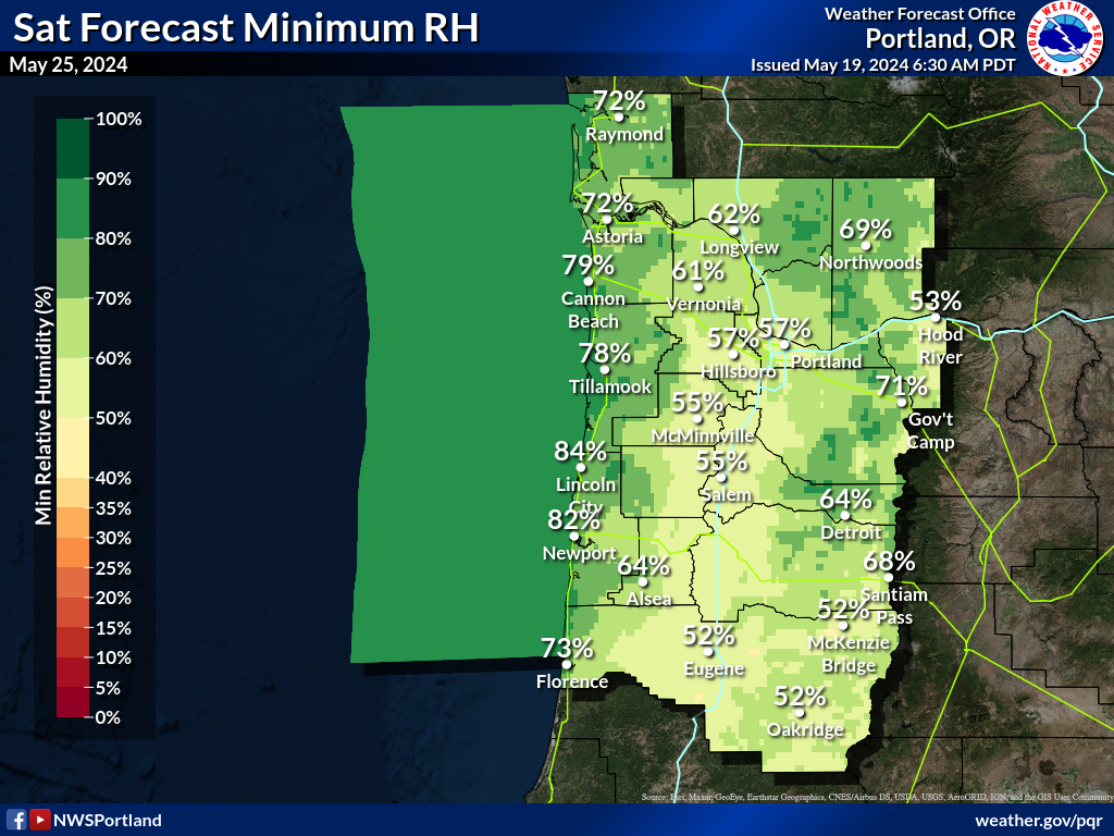
Min RH
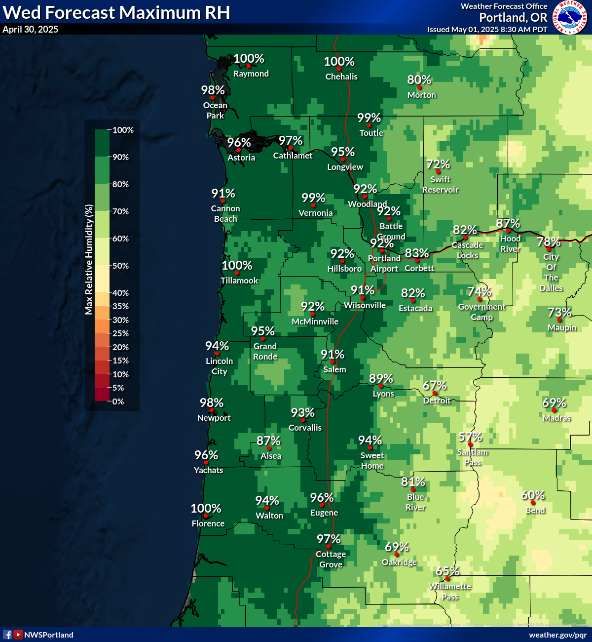
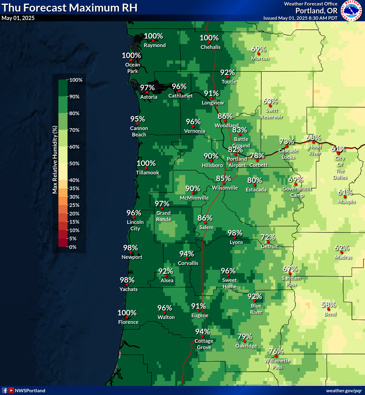
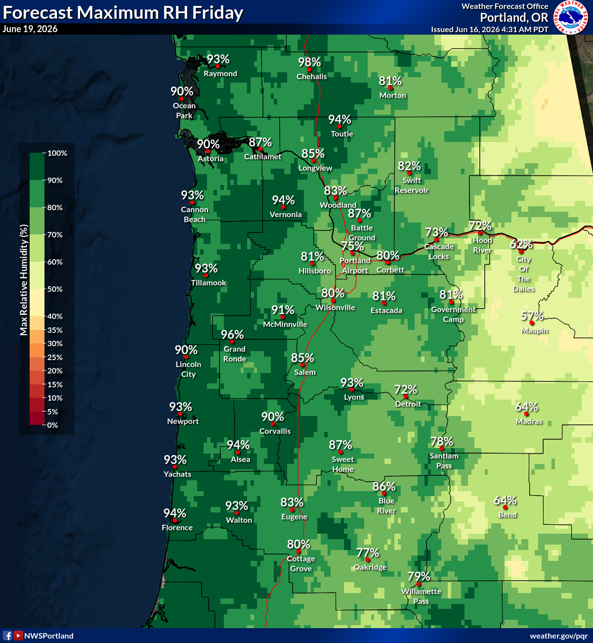
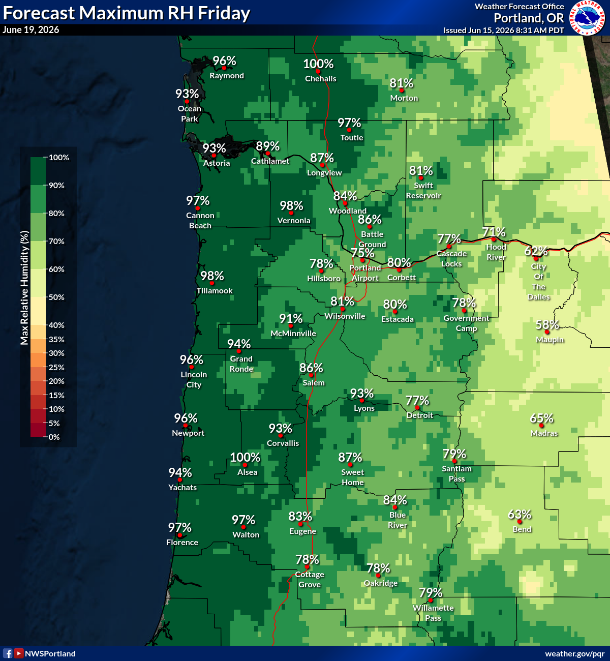
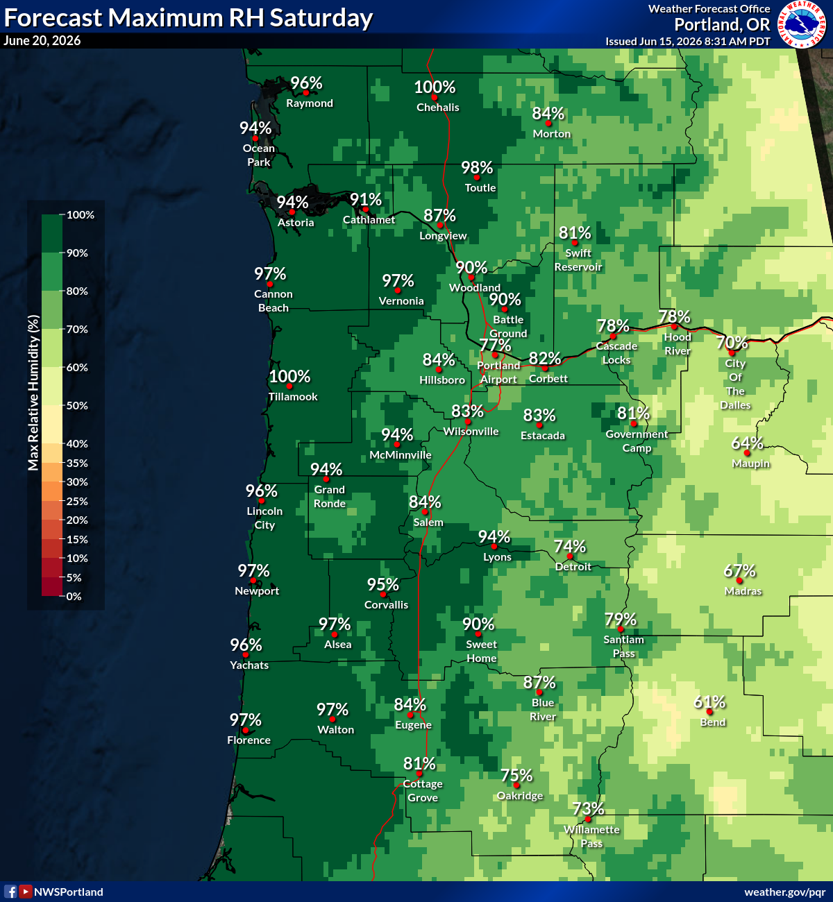
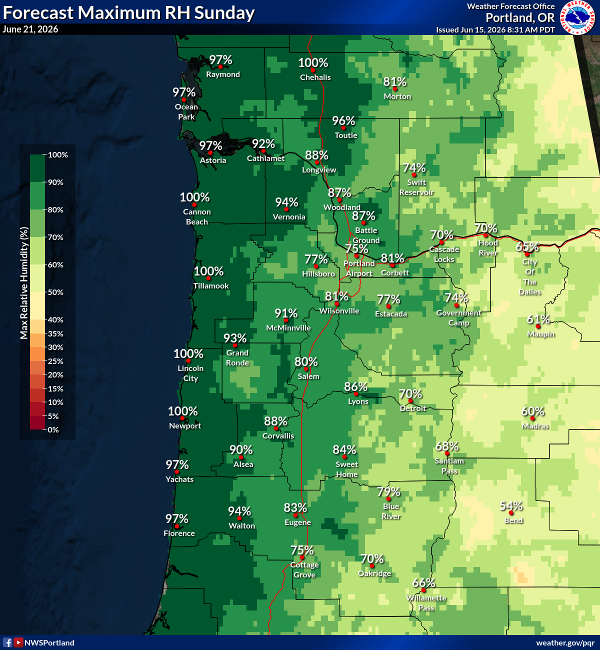
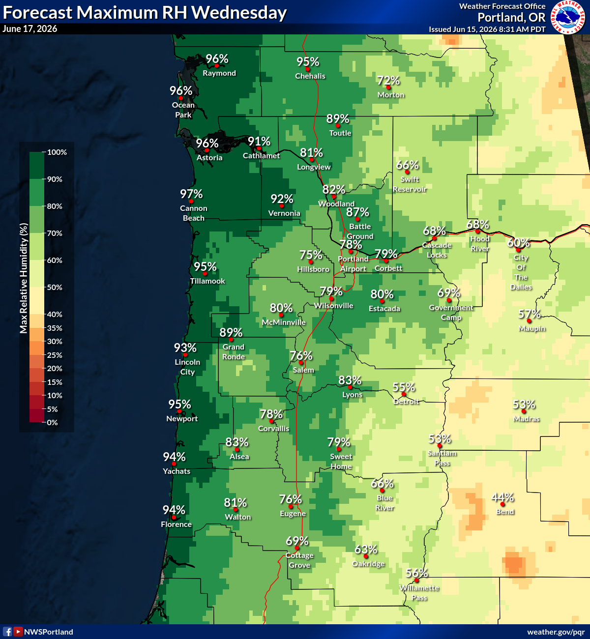
Max RH
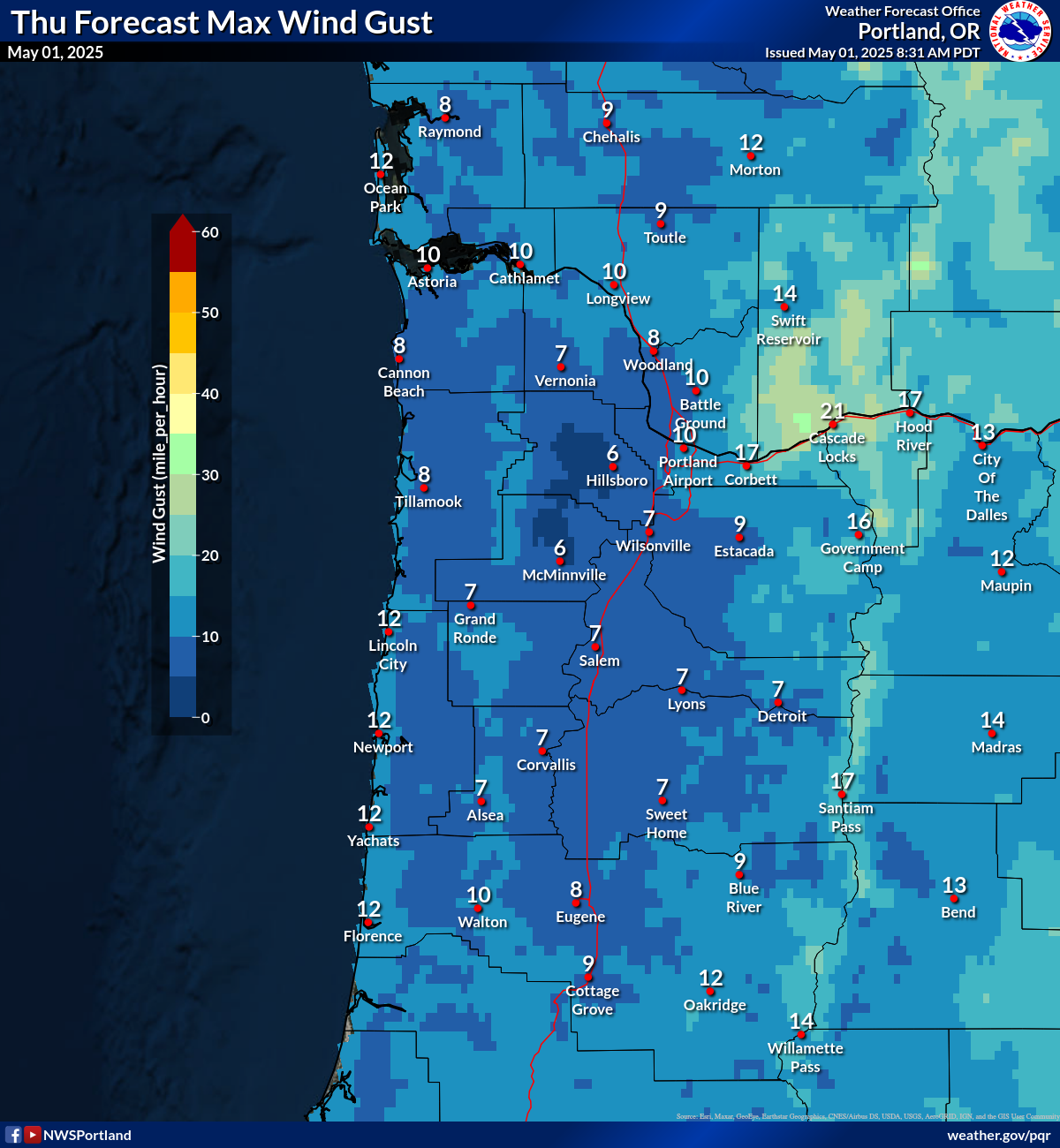
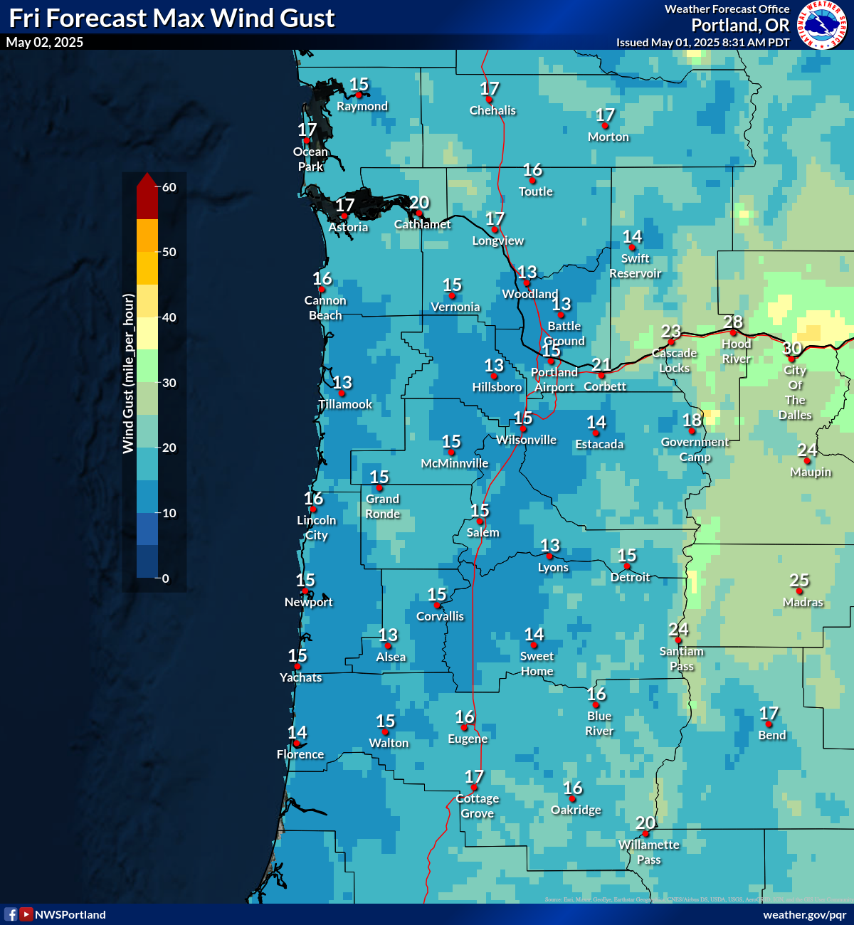
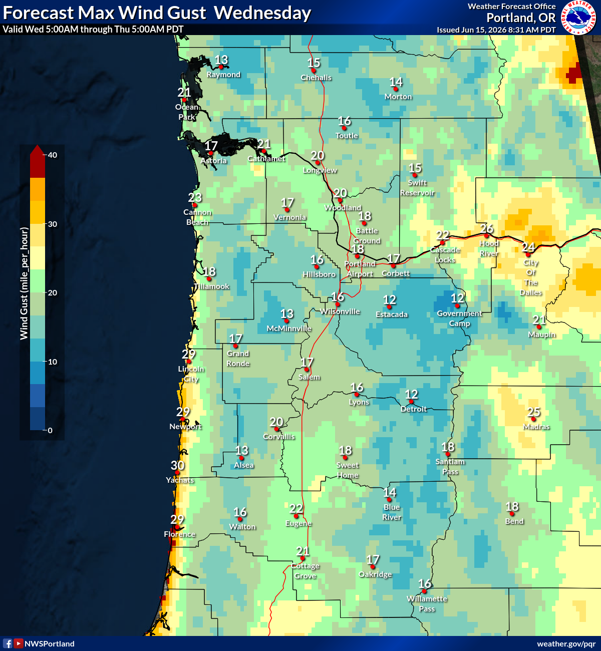
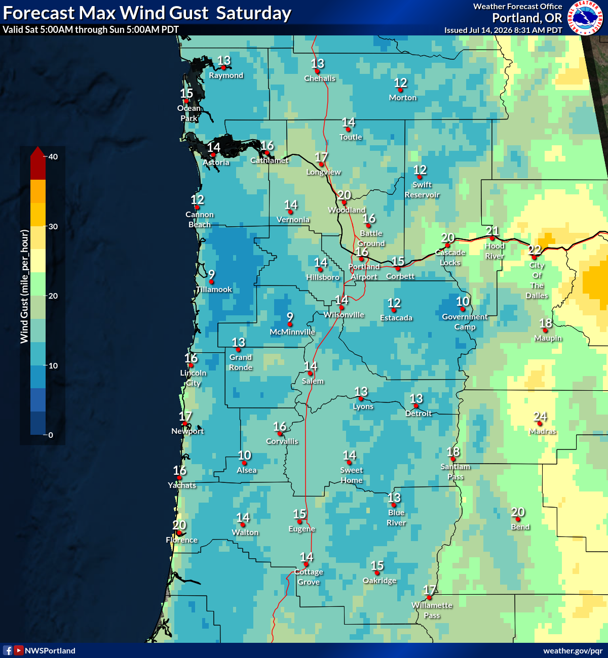
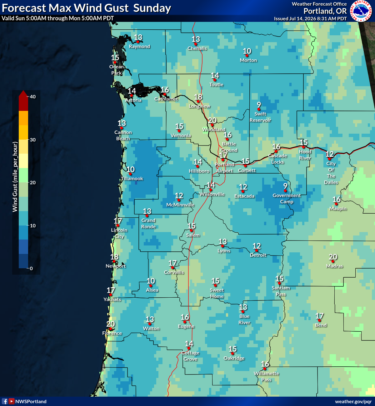
Max Wind Gusts
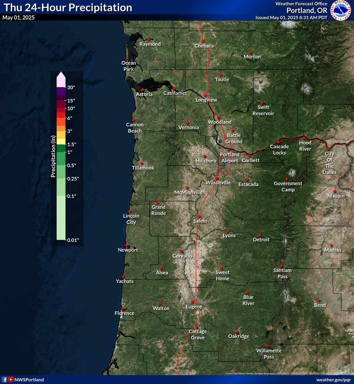
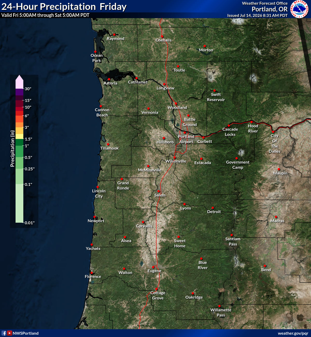
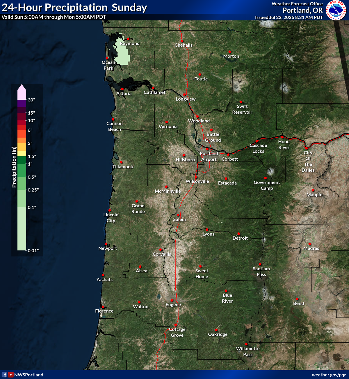
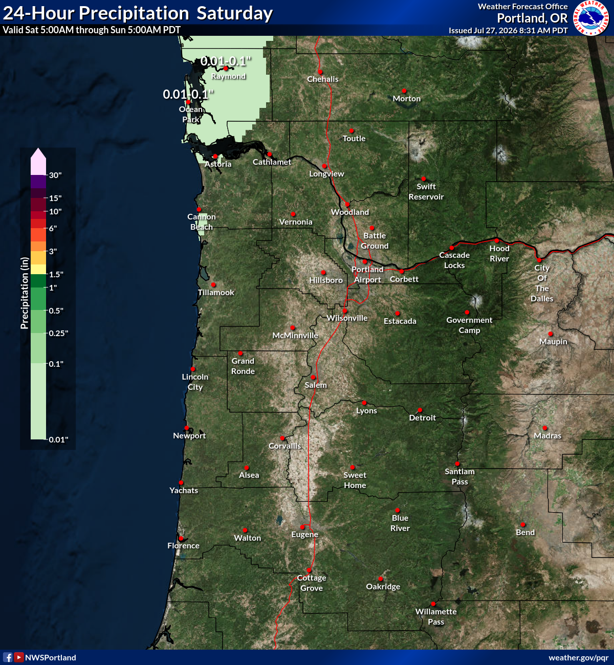
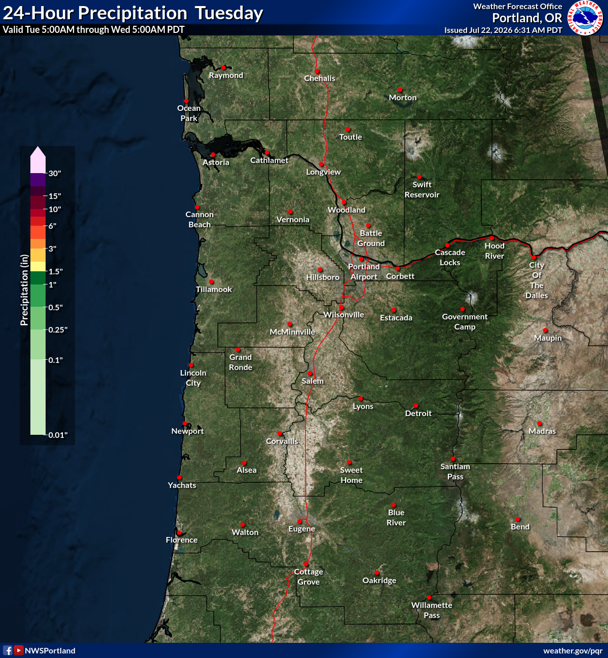
24 Hour QPF
Thunderstorm Probability
SPC Convective Outlook
WPC Forecast Charts
Max Temp
Min Temp
Min RH
Max RH
Max Wind Gusts
24 Hour QPF
Thunderstorm Probability
SPC Convective Outlook
WPC Forecast Charts
Max Temp
Min Temp
Min RH
Max RH
Max Wind Gusts
24 Hour QPF
Thunderstorm Probability
WPC Medium Range Forecast
Max Temp
Min Temp
Min RH
Max RH
Max Wind Gusts
24 Hour QPF
Thunderstorm Probability
WPC Medium Range Forecast
Max Temp
Min Temp
Min RH
Max RH
Max Wind Gusts
24 Hour QPF
Thunderstorm Probability
WPC Medium Range Forecast
Max Temp
Min Temp
Min RH
Max RH
Max Wind Gusts
24 Hour QPF
Thunderstorm Probability
WPC Medium Range Forecast
Max Temp
Min Temp
Min RH
Max RH
Max Wind Gusts
24 Hour QPF
Thunderstorm Probability