
A slow moving storm system over the northern Gulf Coast will continue periods of showers and thunderstorms over much of the Southeast U.S. through this weekend. The risk for heavy to excessive rainfall increases on Sunday as a surge of increased moisture moves over parts of northern Florida into southern Georgia. Read More >
Last Map Update: Sat, May 10, 2025 at 9:10:33 pm PDT
|
Text Product Selector (Selected product opens in current window)
|
|


 Radar
Radar Satellite
 Fire Weather
 Lake Forecasts
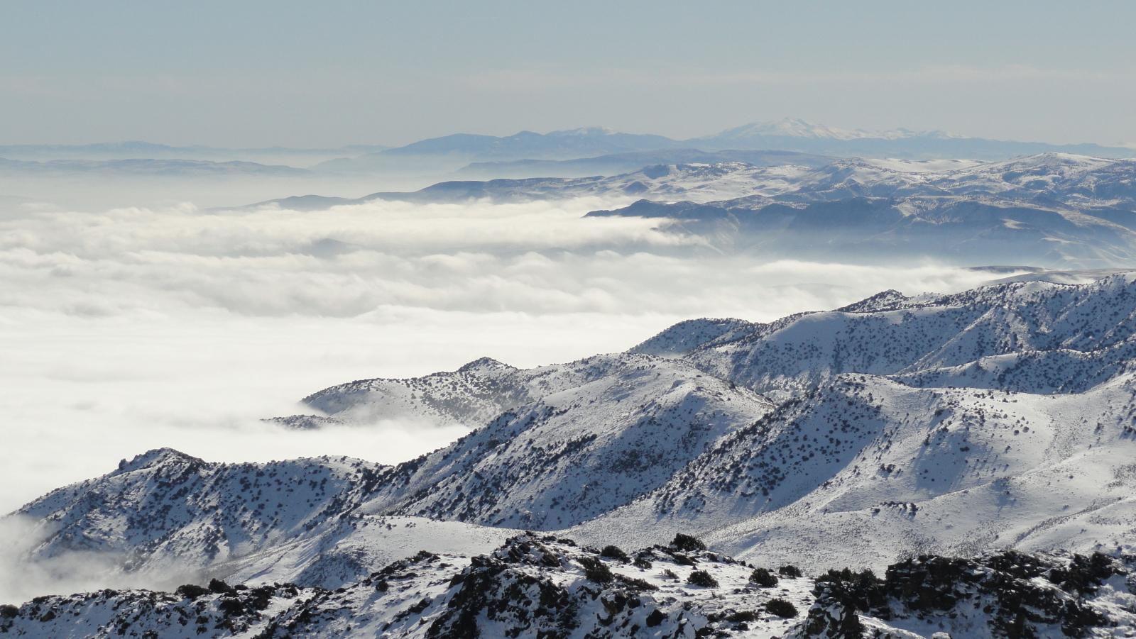 Snow & Avalanche
 Recent Temp & Precip
 Mountain Observations & Remote Data
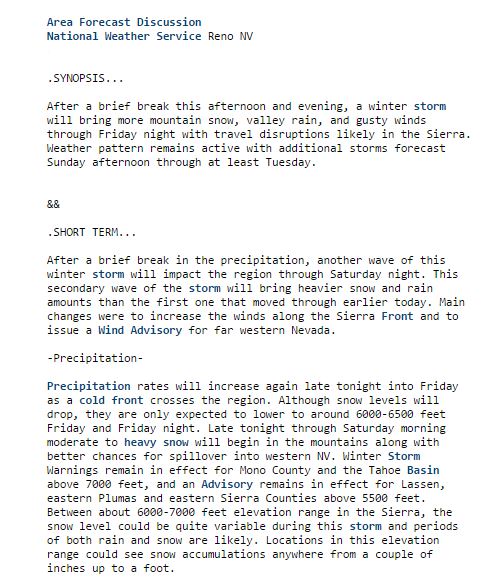 Forecast Discussion
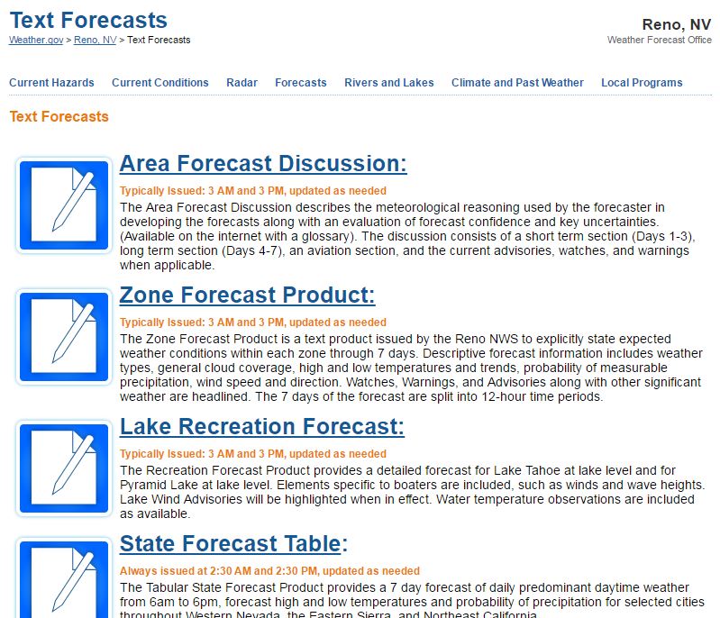 Text Forecasts
 Graphical Forecasts
 Forecast Weather Tables
 Social Media