
Wildfires and poor air quality continue for the Pacific Northwest, Rockies and extended into the Plains. Severe thunderstorms possible for the northern Plains and upper Midwest on Monday along a frontal boundary. Another boundary will focus showers and thunderstorms for the eastern seaboard with localized heavy rainfall possible. For Alaska, a strong Bering Sea storm will bring winds and rainfall. Read More >
Southeast RFC
River Forecast Center
SERFC River Flood Summary: Minor: 0 (0%)
Moderate: 0 (0%)
Major: 0 (0%)
Use the map below to view forecast locations experiencing flooding and link to detailed forecast information.
US Dept of Commerce
National Oceanic and Atmospheric Administration
National Weather Service
Southeast RFC
4 Falcon Drive
Peachtree City, GA 30269
770-486-0028
Comments? Questions? Please Contact Us.


 Precipitation for past 24 hours
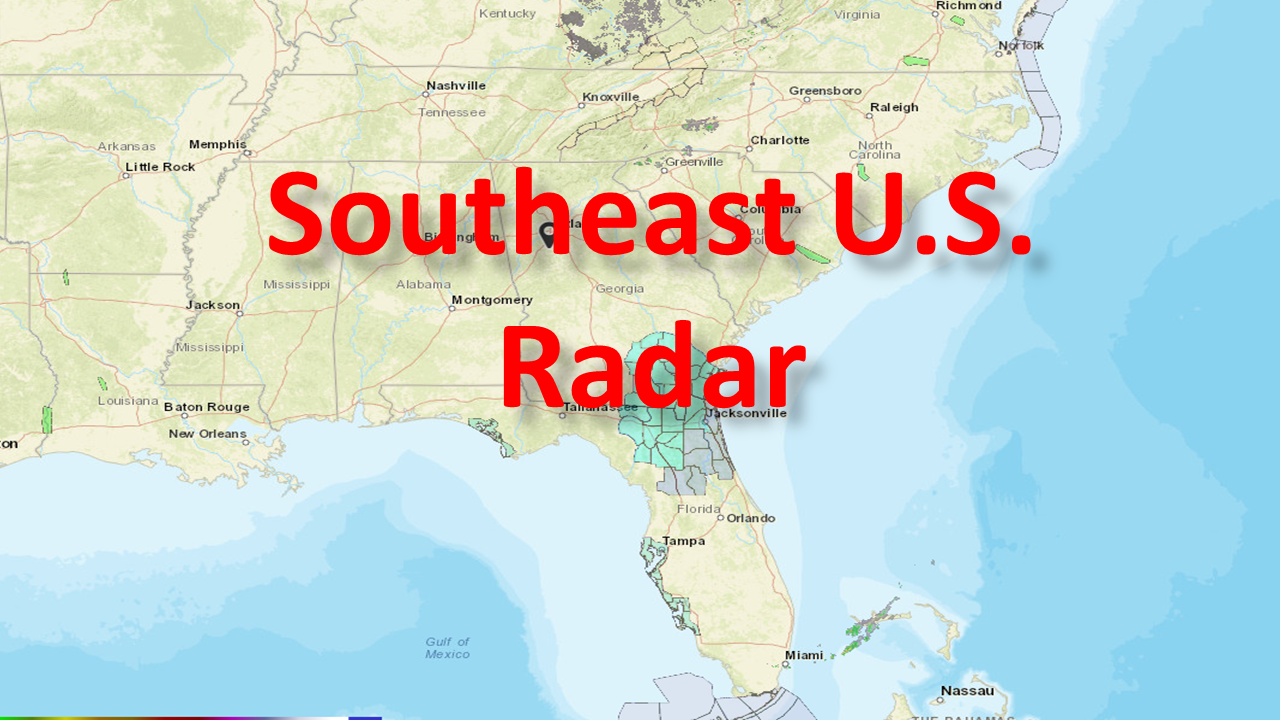 Current Southeast U.S. Radar
 Forecast precipitation for next 48 hours
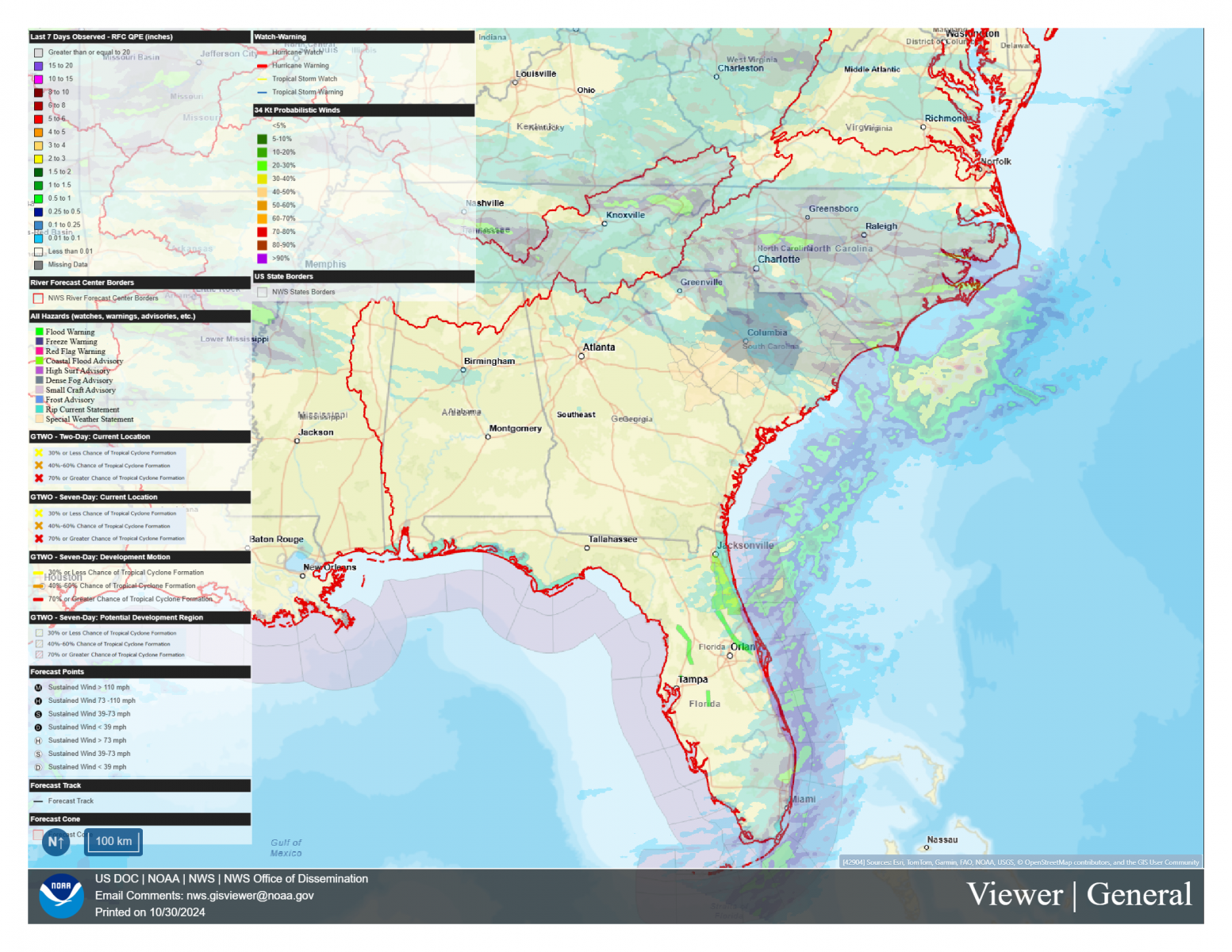 NWS GIS Viewer
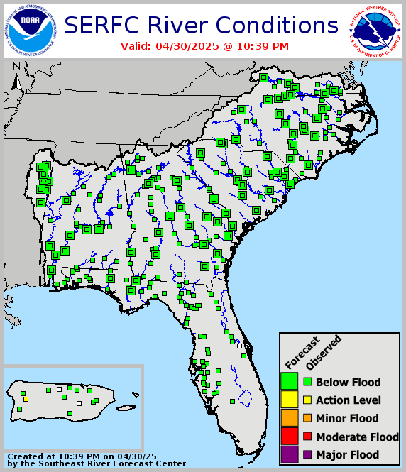 Legacy SERFC status map
 Southeast U.S. Drought Monitor