A heat wave over the Southwest will intensify this week, peaking and expanding into the Intermountain West and northern High Plains this weekend. Severe thunderstorms and heavy rainfall are expected over parts of the Upper Midwest to mid-Mississippi Valley today. Critical to extremely critical fire weather conditions from the Northwest and the northern Great Basin on Saturday and Sunday. Read More >
Seattle/Tacoma, WA
Weather Forecast Office
Regional Web Cameras
Seattle Area
|
|
|
|
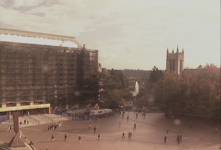
| UW Red Square looking SE toward Mt. Rainier | Seattle WSDOT I-5 camera |
|
|
|
|
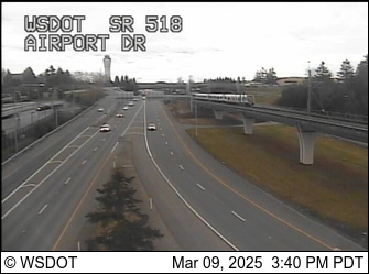
| WSDOT Sea-Tac Airport camera | Seattle WSDOT 520 bridge camera looking east |
Washington Coast
|
|
|
|
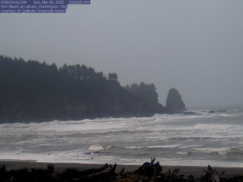
| La Push | Kalaloch Creek |
Mountains
|
|
|
|
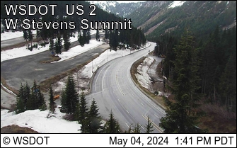
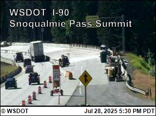
| Stevens Pass WSDOT camera | Snoqualmie Pass WSDOT camera |
|
|
|
|
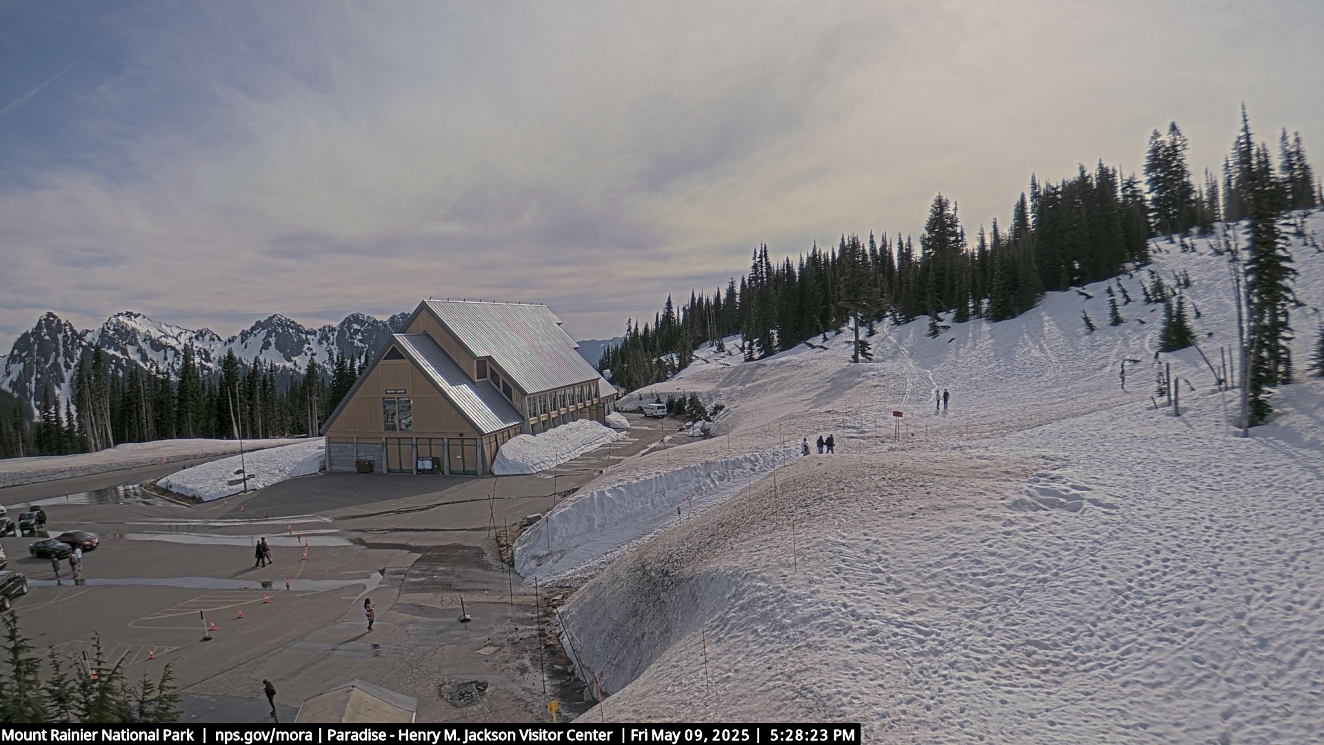
| Paradise Mount Rainier NPS | North Cascades (Newhalem) NPS |
US Dept of Commerce
National Oceanic and Atmospheric Administration
National Weather Service
Seattle/Tacoma, WA
7600 Sand Point Way NE
Seattle, WA 98115-6349
(206) 526-6087
Comments? Questions? Please Contact Us.