
Scattered thunderstorms with severe gusts, hail and a tornado risk are possible near a cold front from the Ohio Valley to the Mid-Atlantic tonight. Tropical Storm Bertha is expected to bring tropical storm conditions to portions of the Gulf Coast from the panhandle of Florida into Louisiana through Wednesday. Read More >
| ID | Elev. | Station | Date/Time | Temp (°F) | Dewpt (°F) | RH | Dir | Spd (mph) | Gst (mph) |
|---|---|---|---|---|---|---|---|---|---|
| HUR53 | 5,250' | Hurricane Ridge | |||||||
| MTB50 | 5,020' | Mount Baker - Pan Dome | |||||||
| NLM34 | 3,430' | Newhalem (State Route 20) | |||||||
| STS48 | 4,790' | Stevens Pass - Grace Lakes | |||||||
| SNO30 | 3,010' | Snoqualmie Pass | |||||||
| CMT46 | 4,540' | Crystal Mountain (base) | |||||||
| CMT69 | 6,830' | Crystal Mountain (summit) | |||||||
| SUN69 | 6,880' | Mount Rainier - Sunrise (upper) | |||||||
| MU101 | 10,110' | Mount Rainier - Camp Muir | |||||||
| PVC54 | 5,400' | Mount Rainier - Paradise | |||||||
| TWHIT | 4,498' | White Pass |

Mount Rainier Recreational Forecast
Freezing / Snow Level Forecasts within a general text forecast:
Cascades of Whatcom and Skagit Counties
Cascades of Snohomish and Northern King Counties
Cascades of Southern King County
Cascades of Pierce and Lewis Counties
Olympic Mountains
Northwest Weather and Avalanche Center
(forecasts routinely available mid-November through mid-April)
Mountain Highway and Pass Reports
Mountain Web Cams
Latest Weather Conditions
Washington State
0-6 hour snowfall forecast
Washington State
6-12 hour snowfall forecast 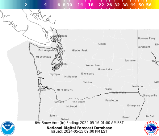

Washington State
12-18 hour snowfall forecast
Washington State
18-24 hour snowfall forecast 

Washington State
24-30 hour snowfall forecast
Washington State
30-36 hour snowfall forecast

