Severe Thunderstorm Watch in effect for southern areas through 9 PM tonight. The main concerns will be large hail, and damaging winds. However, an isolated tornado or two cannot be ruled out.
The next significant round of rain showers and thunderstorms is forecast to move east across the region later this afternoon and tonight into early Wednesday morning. Heavy rainfall on already wet soils may lead to flash flooding.


 Current Weather
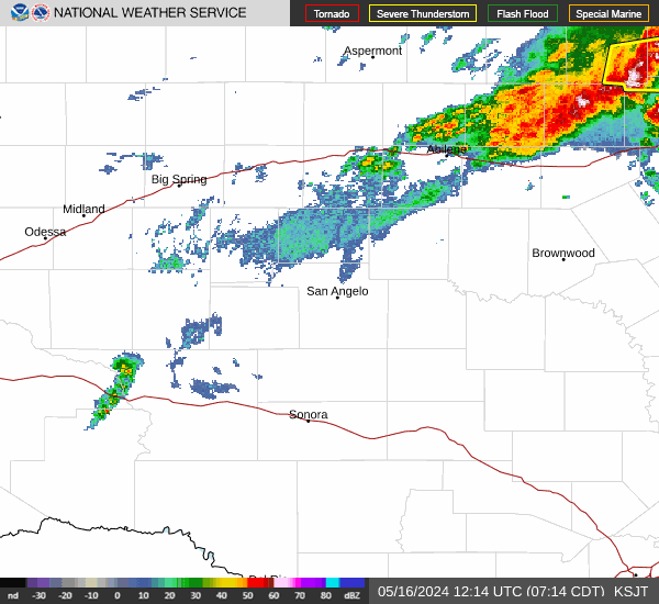
 Radar
Radar Satellite
 Forecast Maps
 Hourly Forecast
 Lakes & Rivers
 Hazards Outlook
 Hi-Res Radar
 Fire Weather
 Winter Weather
 Discussion
 Briefing Video
 Climate
 Storm Report
 Text Products
 Aviation
 Drought
 Skywarn