Scattered showers and thunderstorms today. Isolated thunderstorms could become severe with large hail and damaging winds in the Concho Valley southward to the I-10 corridor early afternoon through early evening.
There is a marginal/slight risk of severe thunderstorms Friday afternoon and evening across the Big Country, Concho Valley and Heartland. The main hazards will be large hail and damaging winds. Please keep up with the latest weather information!
scattered to numerous showers and thunderstorms mainly today and Saturday, could produce locally heavy rainfall and localized flash flooding. Please keep up with the latest weather information.
Cooler with Medium to high chances of rain Today. Warming up this weekend into next week, with medium (30%-60%) chances of precipitation over the weekend.


 Current Weather
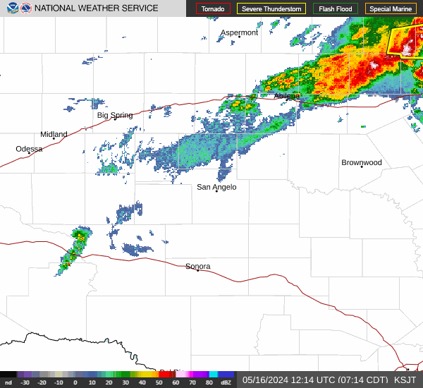
 Radar
Radar Satellite
 Forecast Maps
 Hourly Forecast
 Lakes & Rivers
 Hazards Outlook
 Hi-Res Radar
 Fire Weather
 Winter Weather
 Discussion
 Briefing Video
 Climate
 Storm Report
 Text Products
 Aviation
 Drought
 Skywarn