
Wildfires and poor air quality continue for the Pacific Northwest, Rockies and extended into the Plains. Severe thunderstorms possible for the northern Plains and upper Midwest on Monday along a frontal boundary. Another boundary will focus showers and thunderstorms for the eastern seaboard with localized heavy rainfall possible. For Alaska, a strong Bering Sea storm will bring winds and rainfall. Read More >
Spaceflight Meteorology Group
National Center
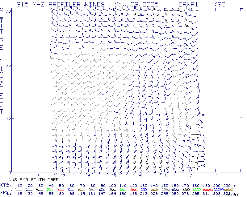
Data for the South Cape 916 MHz wind profiler is provided by the US Space Force Eastern Range and is considered experimental and non-operational on this website. The data displayed here should not be used for the protection of life or property. Please read the NWS disclaimer about products provided on the internet.
US Dept of Commerce
National Oceanic and Atmospheric Administration
National Weather Service
Spaceflight Meteorology Group
Johnson Space Center / WS8
Houston, TX 77058
Comments? Questions? Please Contact Us.

