
Much higher than typical October temperatures will continue across coastal southern California up through the Bay Area and Central Valley through midweek resulting in result in Major to Extreme HeatRisk. A tropical depression is likely to form over the Gulf of America during the middle part of this week with further strengthening possible as it moves northeastward later this week. Read More >
Spaceflight Meteorology Group
National Center
Experimental KSC Area Profiler Data
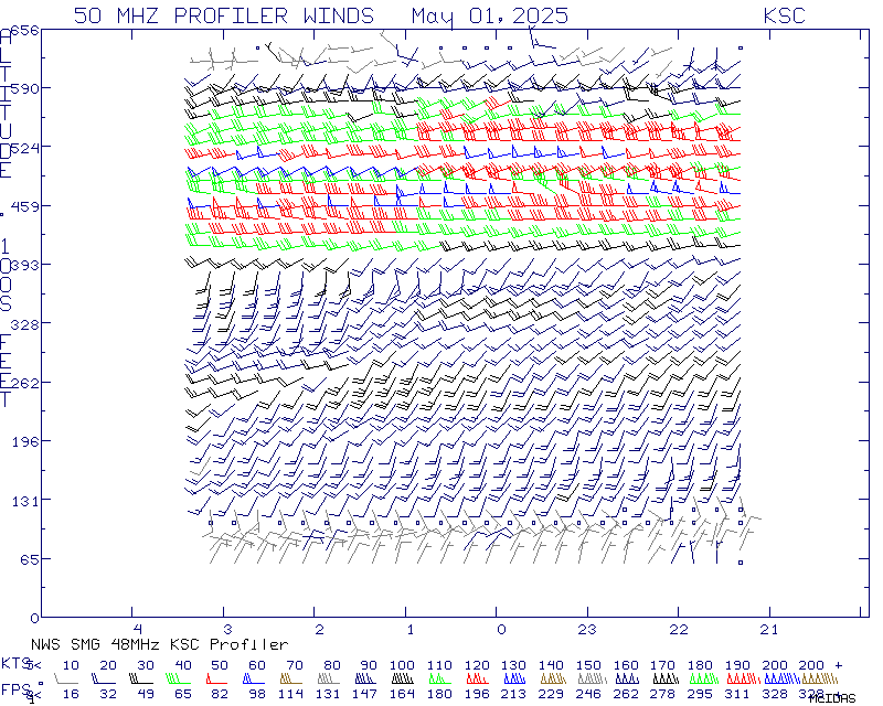
X-axis is time in Universal Coordinated Time (UTC) aka Greenwich Mean Time (GMT).
This profiler data from the KSC / USAF Eastern Range area is considered experimental and provisional. This product is not for the protection of life and property. Quality control procedures of the data appearing on this page are minimal. Please read the NWS disclaimer regarding products on the Internet.

US Dept of Commerce
National Oceanic and Atmospheric Administration
National Weather Service
Spaceflight Meteorology Group
Johnson Space Center / WS8
Houston, TX 77058
Comments? Questions? Please Contact Us.

