
Dangerous heat will expand from the Gulf Coast into the Southern Plains and Desert Southwest through week's end. Additional extreme heat impacting the Pacific Northwest will shift to the northern Plains by the weekend. Tropical Storm Bertha is expected to continue to impact portions of the northern Gulf Coast from the western Florida Panhandle to southeastern Louisiana through tonight. Read More >
 May 27-31: A Violent Week Of Severe Weather May 27-31: A Violent Week Of Severe Weather 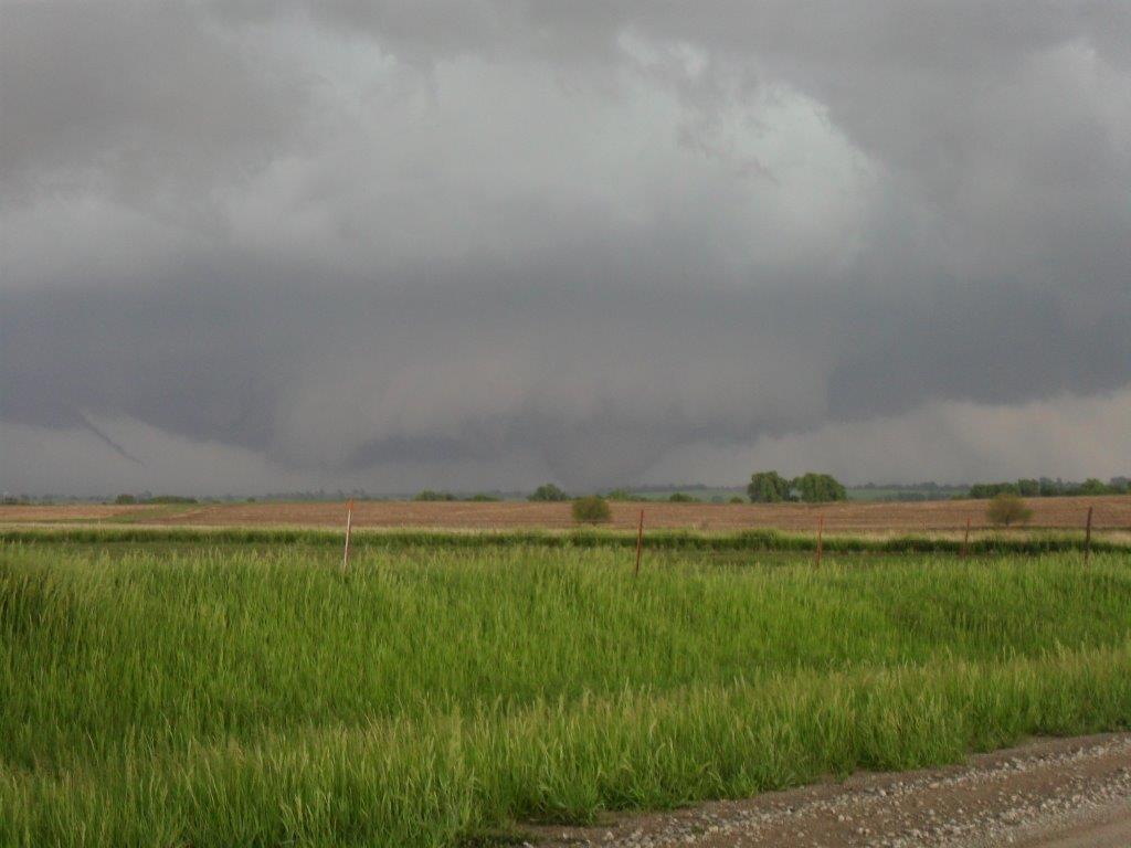 |
||
| Information and photos for specifc tornadoes within northeast Kansas | ||
| Other Notable Events in northeast Kansas | ||
|
||
| Other notable events across the region | ||
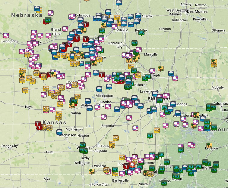
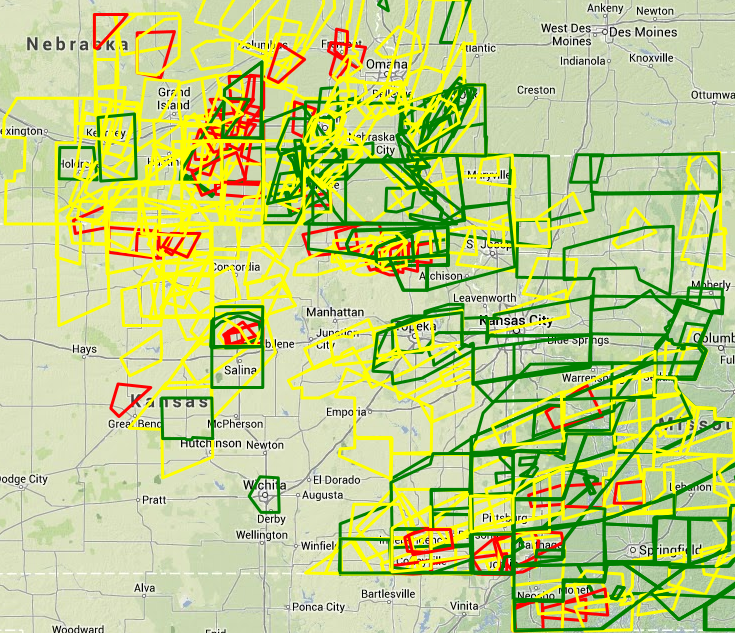
| May 27-31 Regional Preliminary Storm Reports | May 27-31 Regional Warnings | ||
 |
 |
||
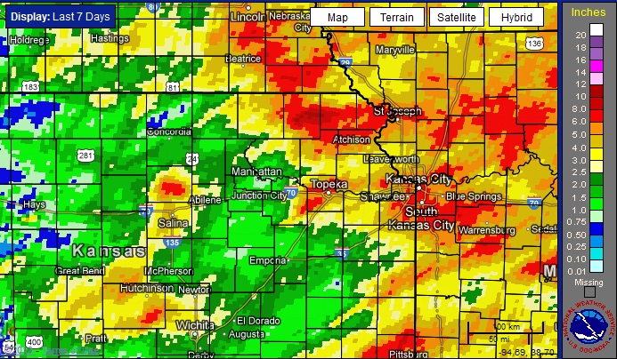
| Total Rainfall | |||
 |
|||

