Gusty to high winds and low relative humidity will bring elevated to critical fire weather across large parts of the Great Plains and more localized parts of the Great Basin and central Rockies Thursday into Friday. Severe thunderstorms with large hail and damaging wind gusts are possible over the central Plains Thursday into this weekend. Read More >
Topeka, KS
Weather Forecast Office
|
|
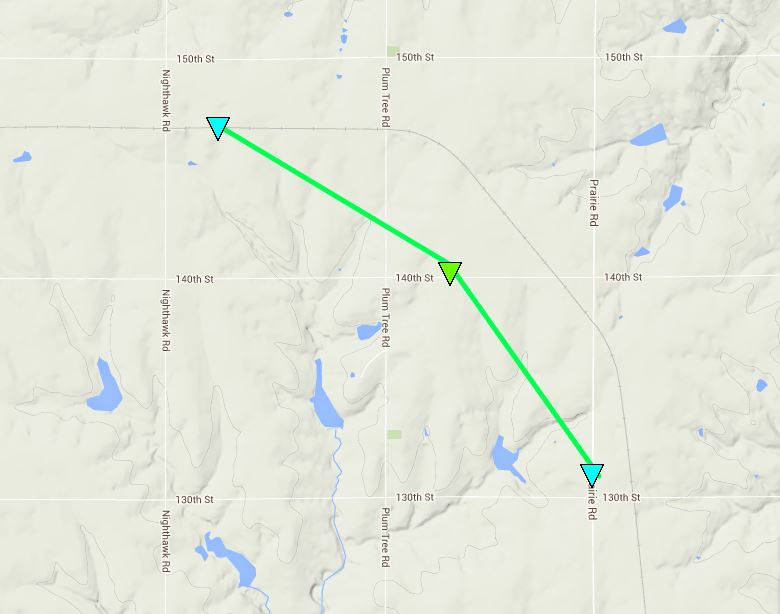
June 3, 2014 Everest TornadoClick here to download the KML file
|
.BROWN COUNTY EF1 TORNADO... RATING: EF-1 ESTIMATED PEAK WIND: 100 MPH PATH LENGTH /STATUTE/: 2.4 MILES PATH WIDTH /MAXIMUM/: 200 YARDS FATALITIES: 0 INJURIES: 0 START DATE: 6/3/2014 START TIME: 1124 PM CDT START LOCATION: APPROX. 1.5 MILES EAST OF WILLIS END DATE: 6/3/2014 END TIME: 1130 PM CDT END LOCATION: APPROX. 1 MILE NORTH OF EVEREST |
US Dept of Commerce
National Oceanic and Atmospheric Administration
National Weather Service
Topeka, KS
1116 NE Strait Avenue
Topeka, KS 66616-1667
785-234-2592
Comments? Questions? Please Contact Us.


