Scattered severe thunderstorms are possible across portions of the northern High Plains Wednesday afternoon and evening. Severe wind gusts are the primary hazard. Gusty winds and low relative humidity will contribute to critical fire weather conditions across parts of the northern Great Plains and Great Basin Wednesday. Read More >
Albuquerque CWSU
Center Weather Service Unit
Click "download" to view the latest Aviation Impacts Briefing download.
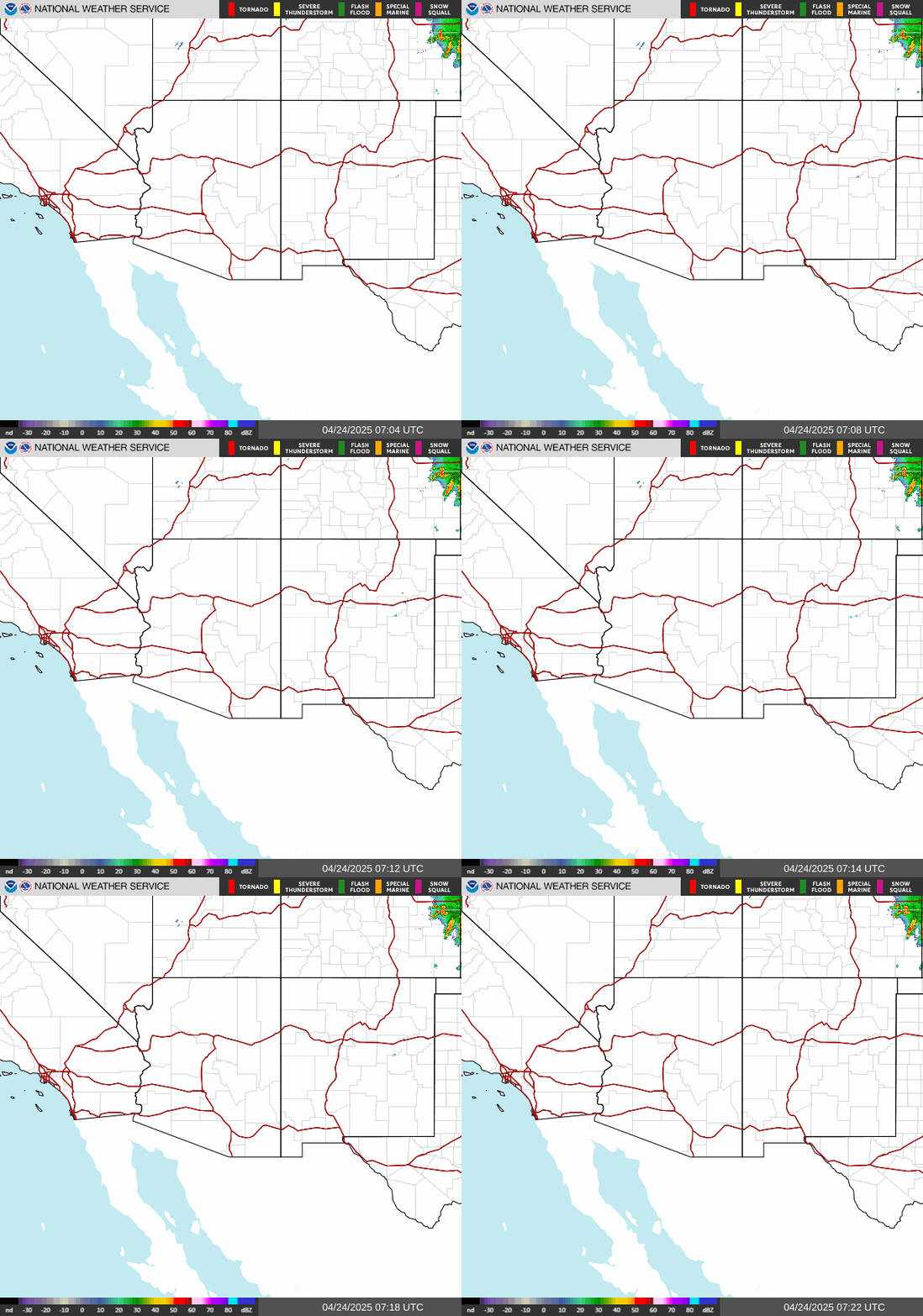
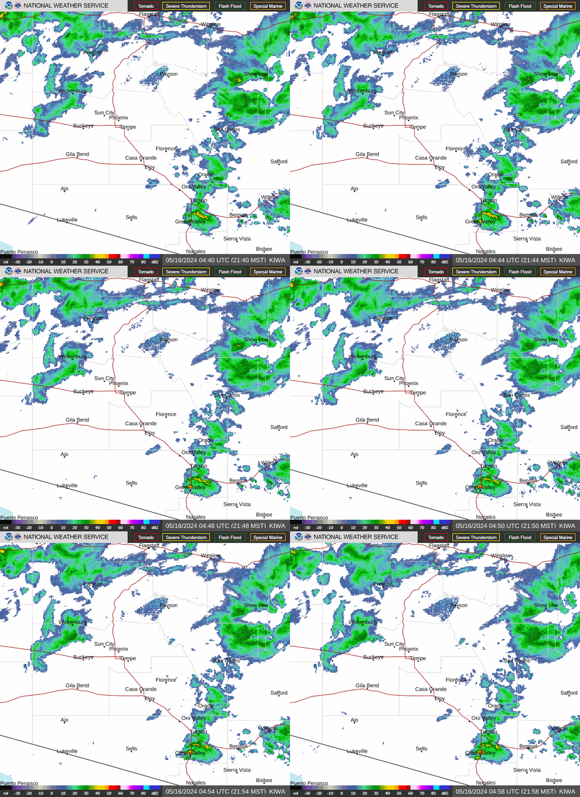
Southwestern US Radar Loop Phoenix Area Radar Loop


IR Satellite Visible Satellite
Please click the additional links below
Satellite loop with flight categories
US Dept of Commerce
National Oceanic and Atmospheric Administration
National Weather Service
Albuquerque CWSU
8000 Louisiana Blvd NE
Albuquerque, NM 87109
505.856.4690
Comments? Questions? Please Contact Us.


