
Severe thunderstorms are expected across portions of the Southeast and Carolinas today where a Slight Risk (Level 2 of 5) has been issued. A Slight Risk Excessive Rainfall Outlook (Level 2 of 4) has been issued for part of the northern Gulf Coast today due to the threat of flash, urban, and riverine flooding. Read More >
Last Map Update: Sat, May. 18, 2024 at 4:34:41 pm PDT


|
Text Product Selector (Selected product opens in current window)
|
|


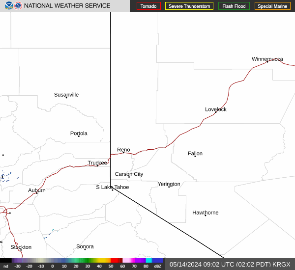 Radar
Radar Satellite
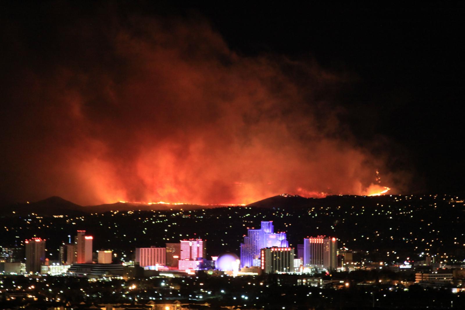 Fire Weather
 Lake Forecasts
 Snow & Avalanche
 Recent Temp & Precip
 Mountain Observations & Remote Data
 Forecast Discussion
 Text Forecasts
 Graphical Forecasts
 Forecast Weather Tables
 Social Media
 Follow us on YouTube