National Weather Service United States Department of Commerce

Areas of Severe Thunderstorms, Excessive Rainfall, and Extreme Heat Saturday

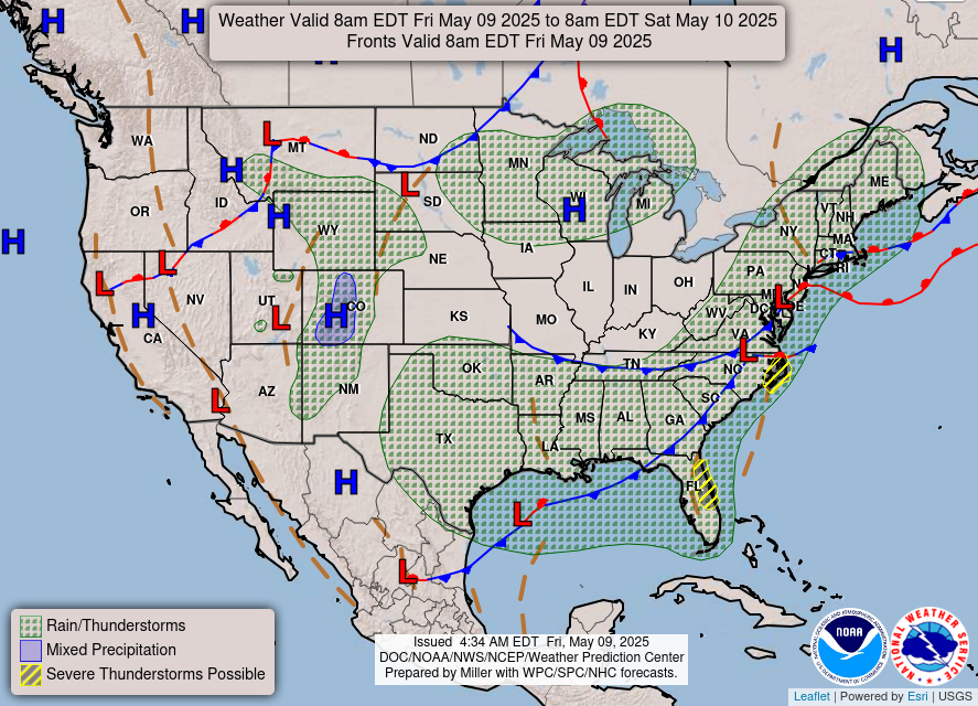
Severe thunderstorms capable of damaging winds will be possible from the Ozark Plateau east into the Tennessee Valley Saturday. Rounds of heavy thunderstorms ahead of a slow moving front will continue locally heavy rainfall and scattered flash flooding potential from the Ozarks to the Ohio and Tennessee Valleys Saturday. Extreme heat will continue for the Intermountain West and Plains. Read More >

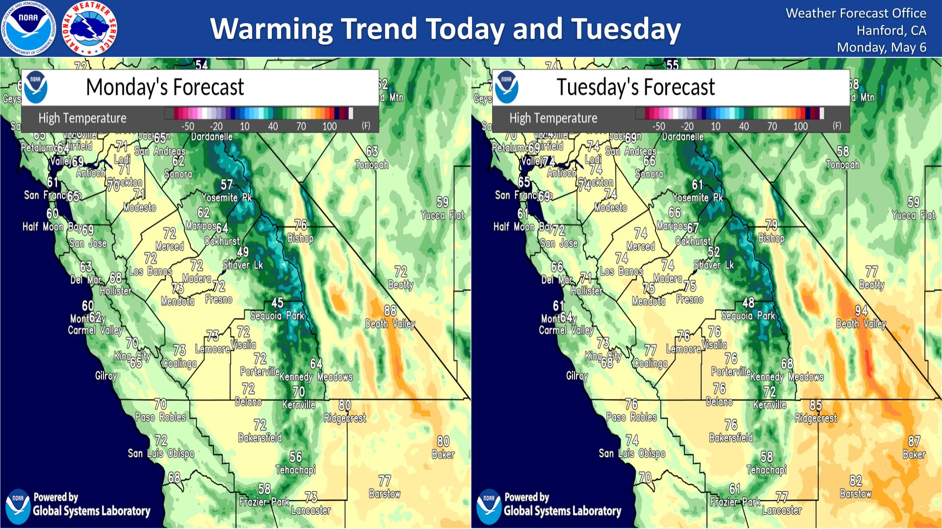
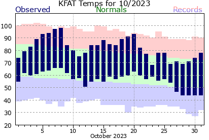
High pressure over California will continue to warm temperatures through this week. The hottest days of the week (Friday & Saturday) will experience region-wide triple digit heat as well as the first 110 degree days in lower elevations of the Mojave Desert. Reduce time outside and take steps to reduce risk of heat illness if outdoors!
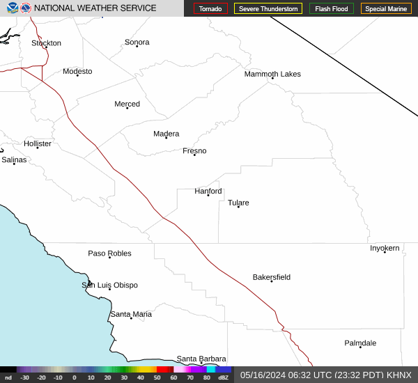
Saturday, July 11, 2026 @ 1:30 AM PDT - Monsoonal moisture arrives into central California on Sunday and brings a 10 to 20 percent chance of thunderstorms along the Sierra Nevada crest. The chances increase on Monday to 30-40 percent, and at least a slight chance exists for the Sierra Nevada foothills. We also cannot rule out sprinkles or light showers in the San Joaquin Valley on Monday. More storms are also possible Tuesday and through the end of the week, although the best chances will be over the higher elevations of the Sierra Nevada.
Update 7/9: Starting next week, models indicate an ideal pattern will bring monsoon moisture into central California. Current rainfall estimates are highly uncertain. There is, however, high confidence for more widespread mountain thunderstorms, some of which may cause dry lightning strikes. Check our website (weather.gov/hnx) for updates.


Text Product Selector (Selected product opens in current window)