Maximum temperatures across Northern and Central Nevada this afternoon will be seven to nine below normal for this time of year. A warming trend is expected Wednesday through Saturday. By Saturday afternoon, high temperatures in Northern and Central Nevada will be near seasonal values. Here are probabilities of maximum temperatures of 90 degrees or higher for select locations in Northern and Central Nevada from Tuesday, June 30th, 2026 through Saturday, July 4th, 2026.


 Social Media - Click to view more
 Elko Radar
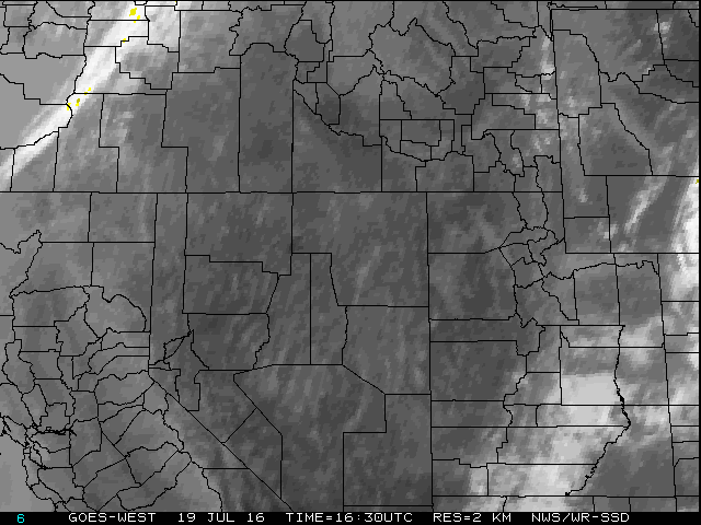 Regional Infrared Satellite Image
 National Weather Map - Click to enlarge
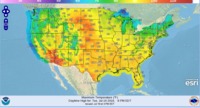 Gridded Forecast Image
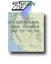 Forecast Weather Tables
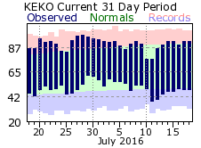 Recent LKN Temperatures
 Satellite-GOES
 Winter Weather
 Weather Stats