NWS All NOAA
Salt Lake City, UT
Weather Forecast Office
Last Map Update: Sun, Aug 2, 2026 at 2:30:21 pm MDT


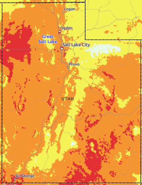 HeatRisk
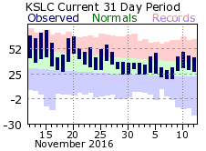 Monthly Climate Data