
Deep tropical moisture will lead to widespread showers and thunderstorms capable of producing flash flooding through early next week over the Southwest and Four Corners. A coastal storm is expected to impact the southeast U.S. coast and mid-Atlantic regions with flooding, dangerous rip currents, gusty winds and heavy rain up much of the East Coast through early next week. Read More >
Last Map Update: Sat, Oct 11, 2025 at 7:16:14 am PDT
|
Text Product Selector (Selected product opens in current window)
|
|


 Social Media - Click to view more
 Elko Radar
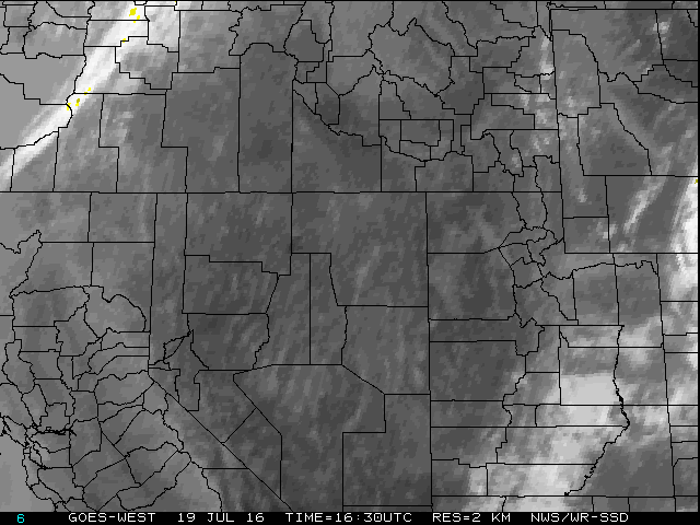 Regional Infrared Satellite Image
 National Weather Map - Click to enlarge
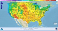 Gridded Forecast Image
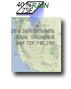 Forecast Weather Tables
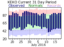 Recent LKN Temperatures
 Satellite-GOES
 Winter Weather