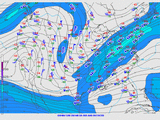
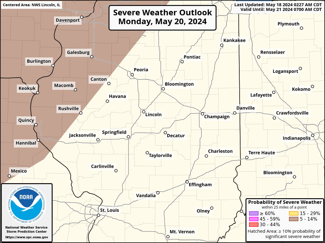
| Convective Outlooks | |||
|
|
|
|
|
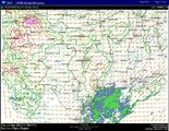
| Convective Outlooks (ZOOMED in for Central / Southeast IL) | ||
|
Day 1 Convective Outlook (SPC Discussion) |
Day 2 Convective Outlook (SPC Discussion) |
Day 3 Convective Outlook (SPC Discussion) |
|
|
|
|
|
|
|
|
| Observation Data | ||
|
Upper-air Soundings |
Upper-air Maps |
Latest Surface Map |
| Model Analysis Data | ||
|
HRRR Model Guidance |
SREF Model Guidance |
HREF Model Guidance |
| Watches, Warnings and Advisories | |||
|
|
|
|
|
| Radar Data | Severe Weather Products | ||
|
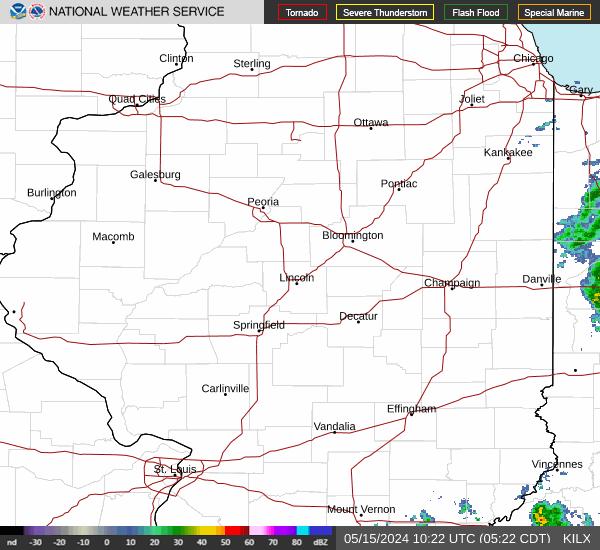
Lincoln Radar |
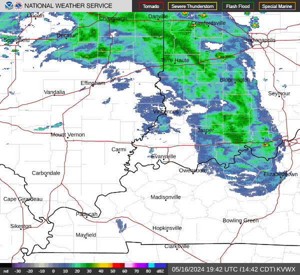
Evansville Radar |
Latest Severe Weather Products issued by our Office: Tornado Warning Severe Thunderstorm Warning Severe Weather Statement (Update for Tornado/Severe T-Storm Warnings) Flash Flood Warning Flash Flood Statement Local Storm Report Special Weather Statement (Strong storms w/ hail less than 1" and/or wind 55 mph or less) NWS Lincoln, IL is not responsible for the timeliness of the products available on the Internet. |
|
|
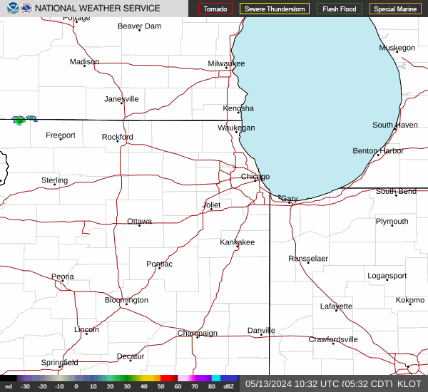
Chicago Radar |
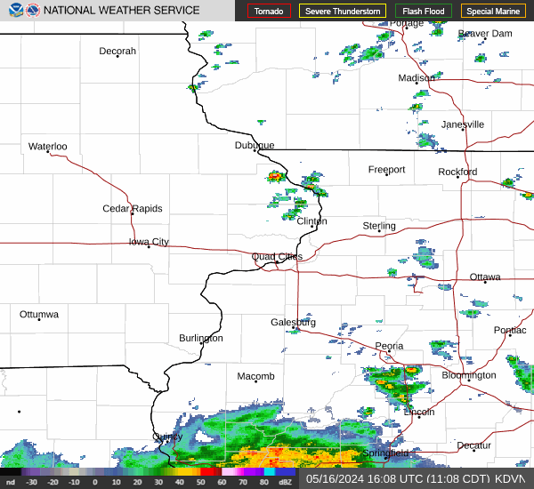
Davenport Radar |
Midwest Sector |
|
|
St. Louis Radar |
Indianapolis Radar |
||
|
|
|
Event Information from the Lincoln NWS:
|
| Interactive Report Listings (under development) | ||


 Follow us on YouTube