Expect lingering showers and thunderstorm from Tucson west this morning, then best chances for storms this afternoon and evening will be east of Tucson along the AZ/NM border. This afternoon and evening storms will be capable of strong to severe wind gusts and heavy rainfall.


 Forecast Discussion
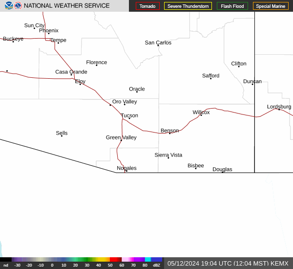 Tucson Radar
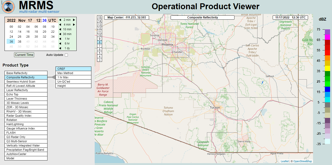 MRMS radar imagery
 GOES-18 Satellite
 Southern Arizona
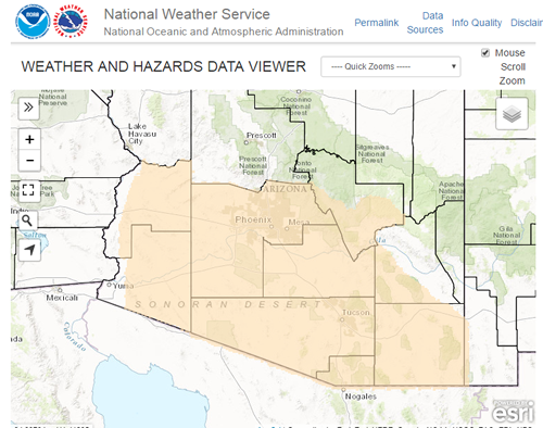 Detailed Hazards
 Weather Map
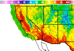 Graphical Forecasts
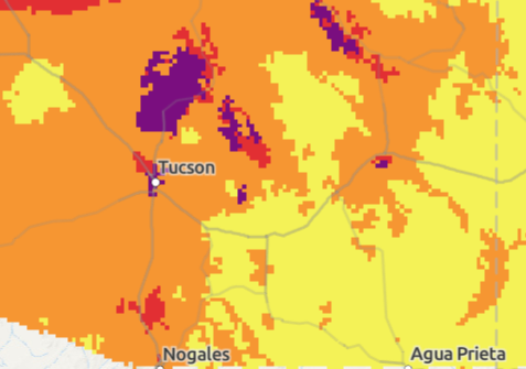 Heat Risk
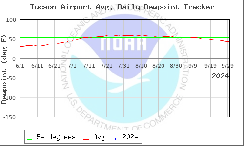 Monsoon
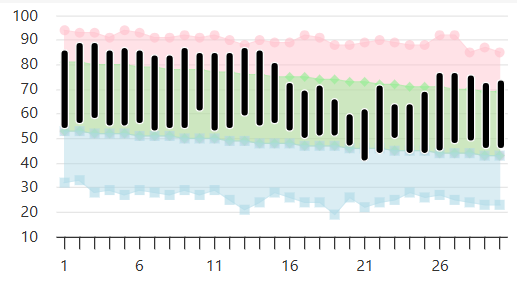 Climate Graphs & Charts
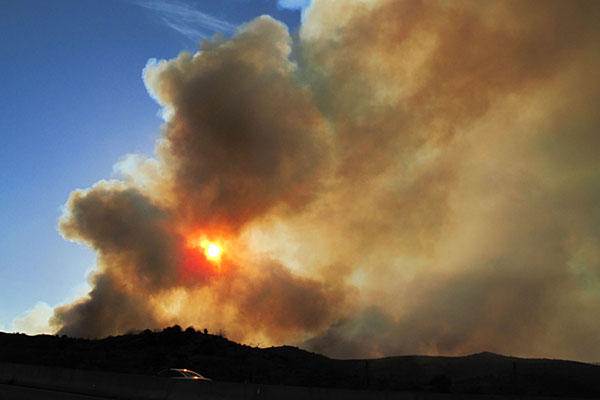 Fire Weather
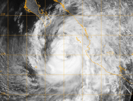 Tropical
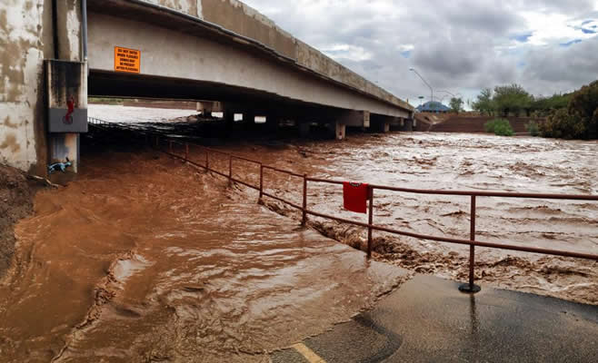 Hydrology
 Skywarn
 Drought Page
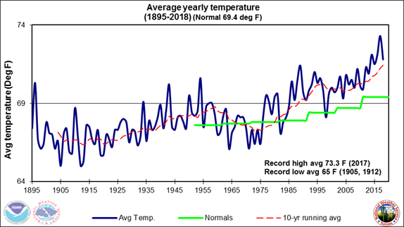 Past Tucson Climate reports
 Hourly Forecasts