
Although conditions will be quiet through Saturday, things will change as early as Sunday as moisture from a pair of tropical systems makes its way into Southeast Arizona. Initial moisture from these systems will result in a slight chance light showers mainly west of Tucson Sunday.
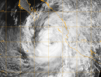
More significant moisture will then push up the Gulf of California into southern Arizona with the assist from Hurricane Polo moving into the southern Baja and northern Mexico Monday and Tuesday. Although we will see deep tropical moisture, it is important to note that the remnants of Polo are NOT expected to impact us directly.
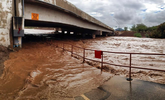
A trough of low-pressure moving south along the West Coast the next few days will then track east across Arizona Monday afternoon through Tuesday night. Given the deep moisture in place, this feature will result in widespread showers and thunderstorms across Southeast Arizona. Expect mainly light to moderate intensity rainfall with pockets of heavy rain Monday, with the potential for more widespread moderate to heavy rainfall Tuesday as the front associated with the trough tracks through the area.







 Forecast Discussion
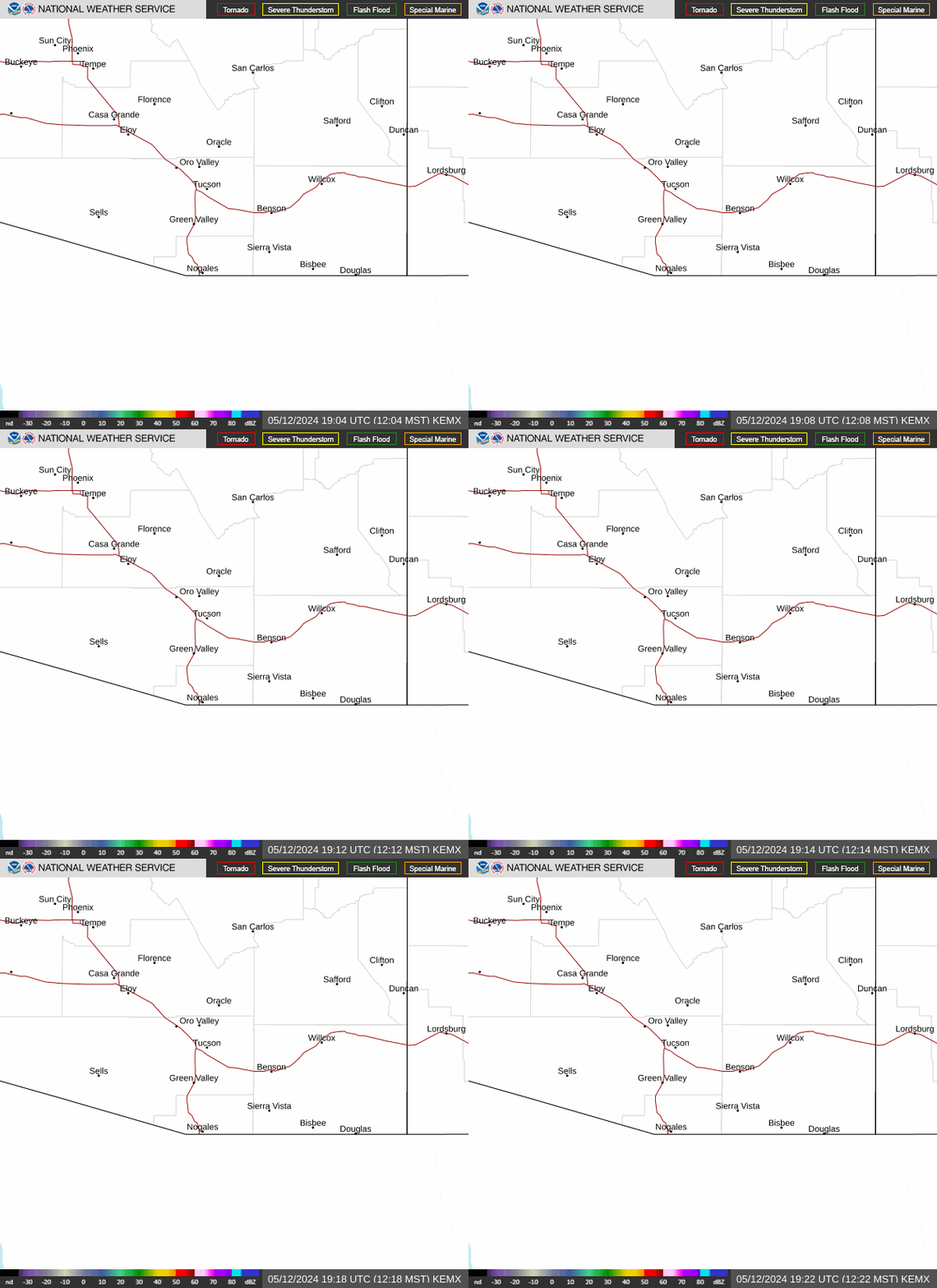 Tucson Radar
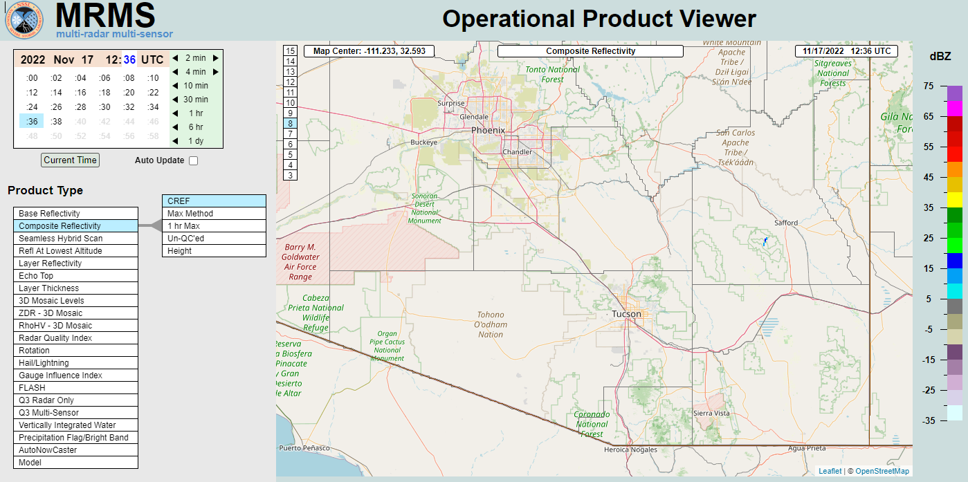 MRMS radar imagery
 GOES-18
 Southern Arizona
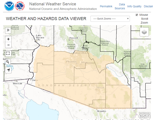 Detailed Hazards
 Weather Map
 Graphical Forecasts
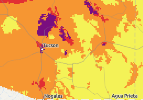 Heat Risk
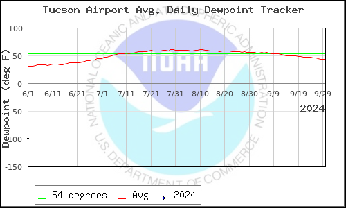 Monsoon
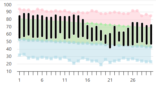 Climate Graphs & Charts
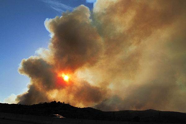 Fire Weather
 Tropical
 Hydrology
 Skywarn
 Drought Page
 Past Tucson Climate reports
 Hourly Forecasts
 Follow us on X
 Follow us on Facebook
 Follow us on YouTube
 TWC RSS Feed