|
|
||||||||||||||||||||||||
|
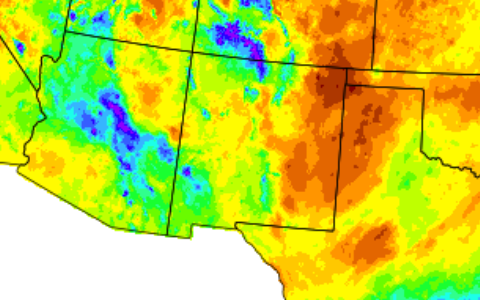
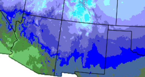
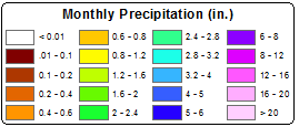
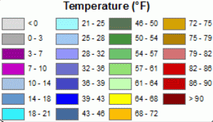
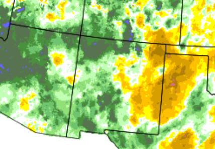
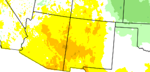
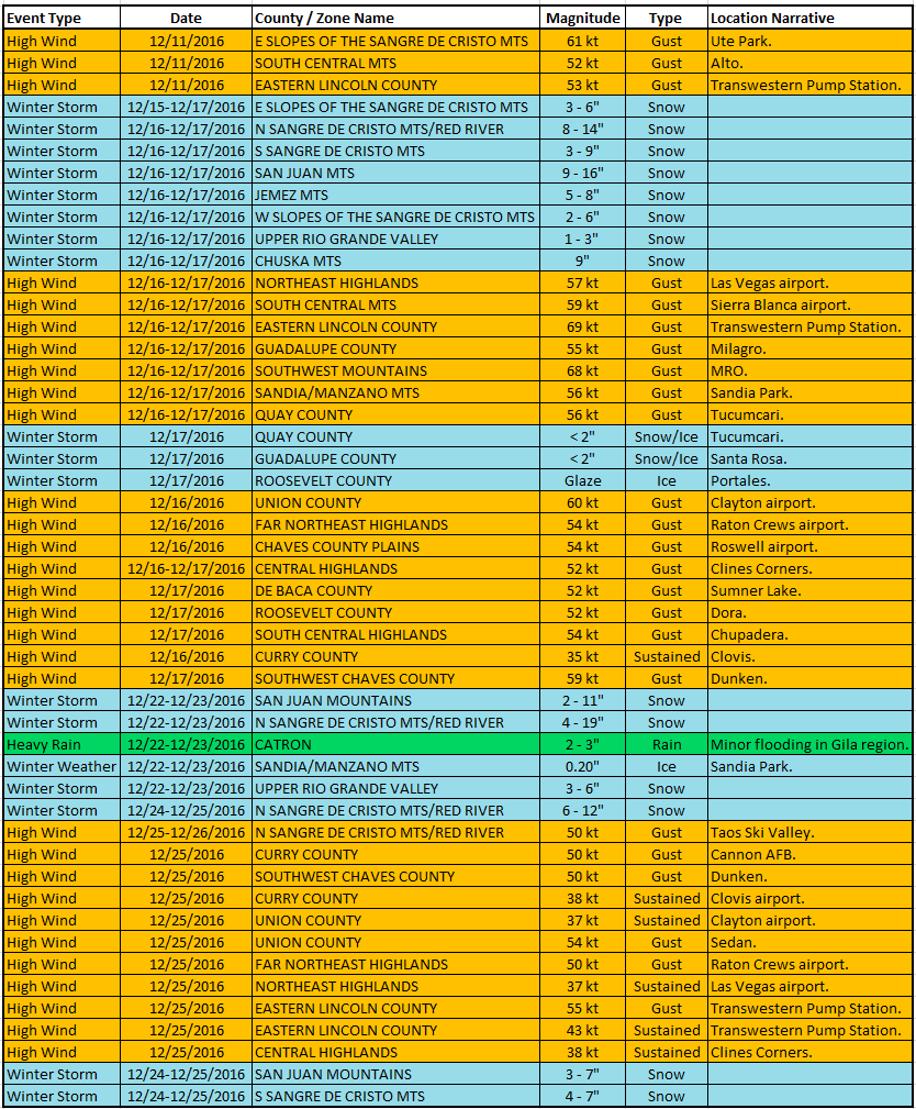
December began dry, but chilly. An upper level disturbance impacted the central to southern areas of the state on the 3rd with light snow amounts. A warming trend on the 4th and 5th was followed by a blast of colder air from the 6th through 8th. High winds on the 11th and especially on the 16th into the 17th interrupted an otherwise quiet period of weather during the middle of the month. An arctic blast of cold air and a heavy band of snow on the 17th reminded us that winter was getting underway. Cold temperatures on the 18th rebounding each day through the 21st. A one-two punch of winter weather impacted the state on the 22nd and 23rd, and again on the 24th into Christmas Day. The final storm of the year delivered rain and mountain snow on New Year's Eve. Statewide Precipitation and Temperatures
Climate Cities Temperatures and Precipitation
|
||||||||||||||||||||||||



.png)
 Follow us on X
 Follow us on Facebook
 Follow us on YouTube
 ABQ RSS Feed