
Extreme heat continues across the Southwest as temperatures may top 120 degrees. The heat may expand across the West and south-central U.S. into the middle of the month. Severe thunderstorms capable of severe wind gusts and large hail will be the primary hazards today across the northern Plains into the upper Midwest. Rainfall could be locally heavy across the Eastern U.S. today. Read More >

Click on the products in the table below for the latest information.
| Hazardous Weather Product Links | |
| Last Issued | |
| Outlooks and Discussions | |
| Drought Information Statement | No recent issuance |
| Area Forecast Discussion | 2026-8-03 05:13 |
| Tornado or Severe Thunderstorm Watch | |
| Tornado or Severe Thunderstorm Watch for the Albuquerque Forecast Area | No recent issuance |
| Severe Weather Products | |
| Severe Weather Statement | 2026-8-02 19:13 |
| Tornado Warning | No recent issuance |
| Special Weather Statement | 2026-8-02 18:21 |
| Severe Thunderstorm Warning | 2026-8-02 18:40 |
| Flash Flood Products | |
| Flood Watch | 2026-8-01 19:45 |
| Flash Flood Warning | 2026-8-02 16:15 |
| Flash Flood Statement | 2026-8-02 19:12 |
| River/Arroyo/Small Stream Flood Products | |
| Flood Warning | No recent issuance |
| Urban or Arroyo and Small Stream Flood Advisory | 2026-8-02 17:44 |
| Other Hazardous Weather Products | |
| Non-Precipitation Advisory (e.g. wind,freeze) |
2026-8-03 11:10 |
| Winter Weather Message | No recent issuance |
| Fire Weather Watch or Red Flag Warning | No recent issuance |
| Overview of Potential or Expected Impacts for the Next Six Days | ||
| Forecast Products from the Storm Prediction Center | ||
 |
 |
 |
| Day 1 Outlook | Day 2 Outlook | Day 3 Outlook |
 |
 |
 |
| Mesoscale Discussions | Current Watches | Day 4-8 Outlook |
|
Other Products from the Storm Prediction Center
|
||
 |
 |
Other Links:
|
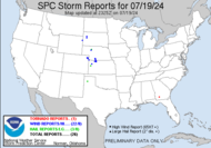
| Current Watch, Warning and Advisory Display | Today's Nationwide Storm Reports | |
| Latest Radar Images | ||
 |
 |
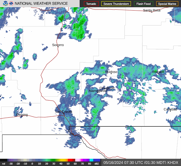 |
| Albuquerque | Cannon AFB | Holloman AFB |
| Latest Satellite Images | ||
 |
 |
|
| Visible | Infrared | Water Vapor |
| Quantitative Precipitation Forecasts from Weather Prediction Center | ||
 |
 |
 |
| Day 1 QPF | Day 2 QPF | Day 3 QPF |
 |
 |
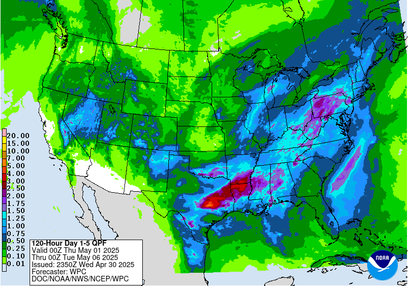 |
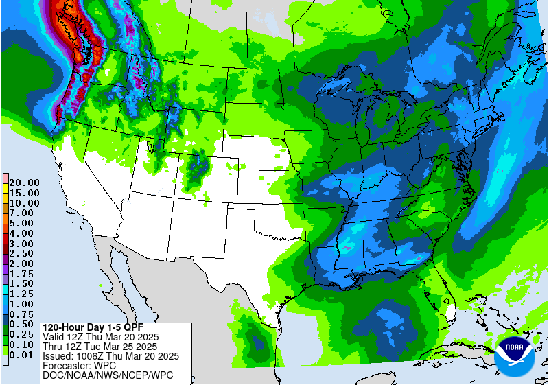
| Day 1-3 QPF | 5 Day Total - Valid 12z | 5 Day Total - Valid 00z |
| Winter Weather Products from the Weather Prediction Center | |||
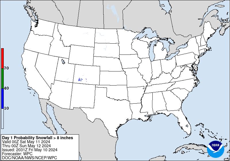
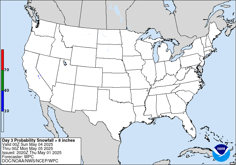
| The following table depicts the probability of snowfall accumulating greater than 4, 8 and 12 inches. Please note: Images will be old during non-winter seasons. | |||
| >=4 inches | >=8 inches | >=12 inches | |
| Day 1 |  |
 |
 |
| Day 2 |  |
 |
 |
| Day 3 |  |
 |
 |
| More WPC products can be found here. | |||
| Road Conditions | ||
| New Mexico | 511 | NM Roads |
| Arizona | 888-411-7623 | AZ Roads |
| Colorado | 303-639-1111 | CO Roads |
| Texas | 800-452-9292 | TX Roads |
| Utah | 866-511-8824 | UT Roads |
| Oklahoma | 888-425-2385 | OK Roads |


