|
Event Summary
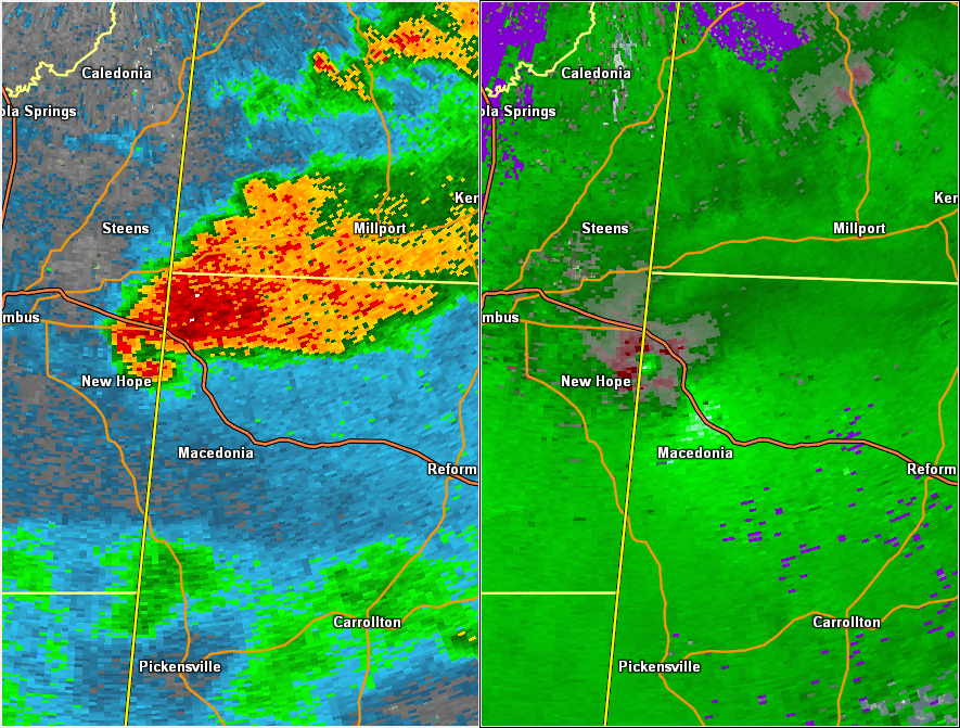
National Weather Service meteorologists surveyed damage in northwest Pickens County near Stafford and determined that the damage was consistent with an EF-1 tornado. Maximum winds were estimated to be around 100 mph.
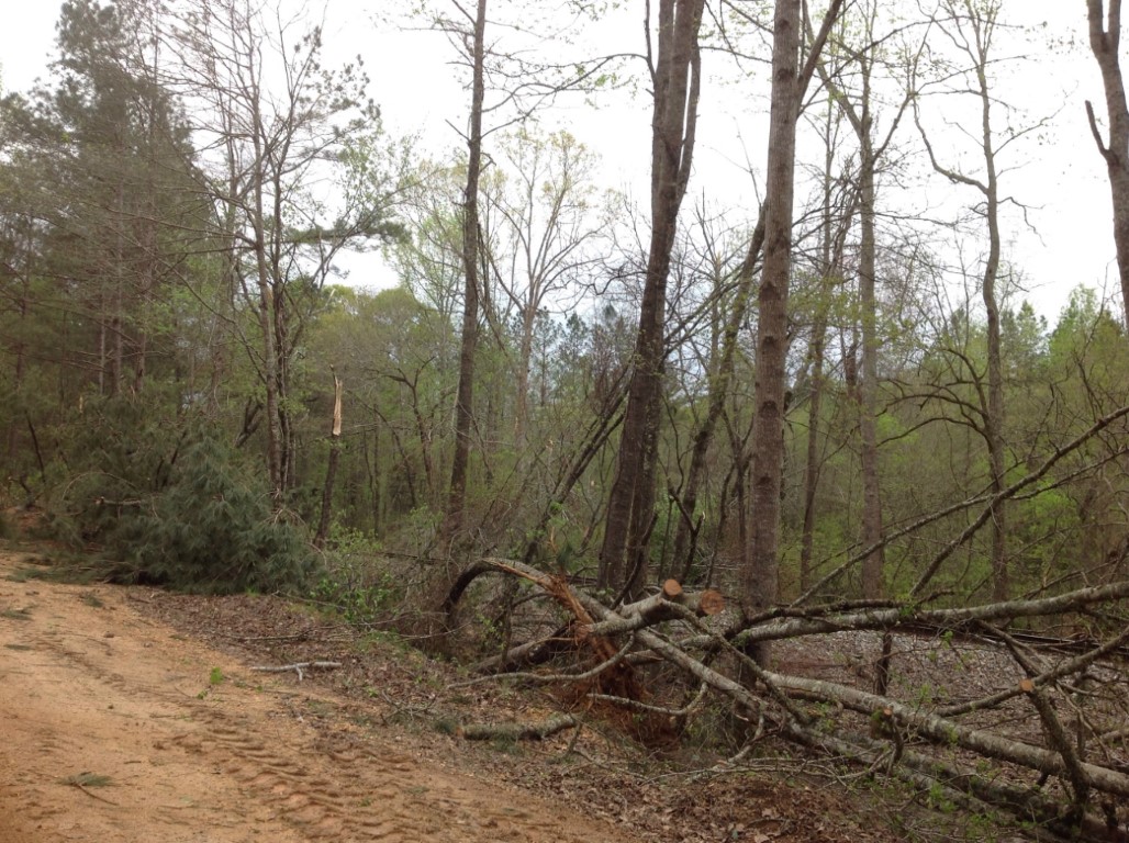
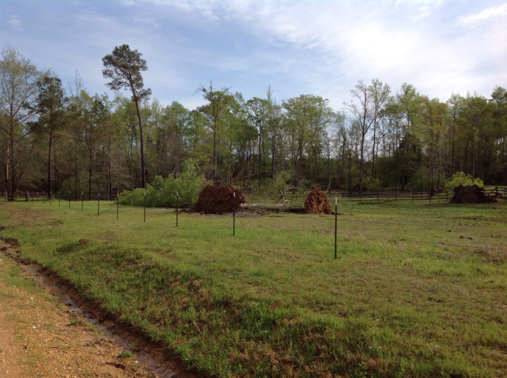
The tornado started in Mississippi and crossed the state line into Pickens County about 2.3 miles south of Highway 82. The tornado tracked northeast and crossed Eagle Road and County Road 30 before dissipating just north of Highway 82. The damage along the path consisted mainly of snapped and uprooted trees. There was some minor damage to a mobile home as the tornado approached County Road 30.
|