|
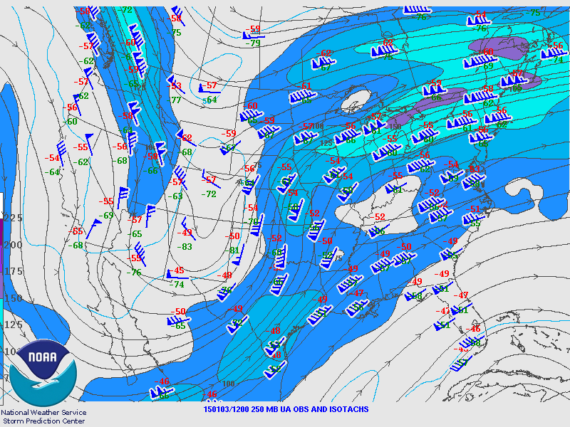
250 mb Analysis
January 3 6 am
|
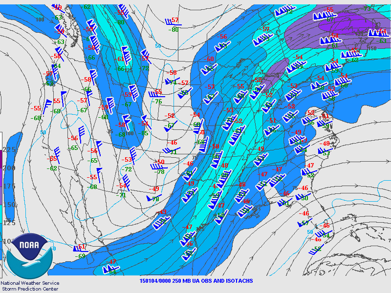
250 mb Analysis
January 3 6 pm
|
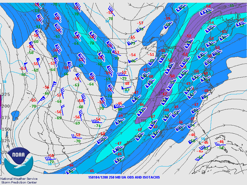
250 mb Analysis
January 4 6 am
|
|
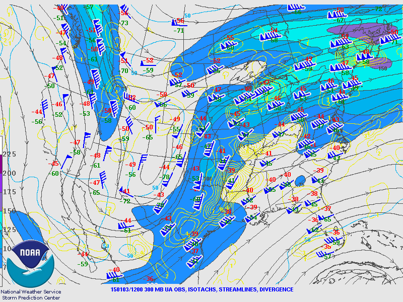
300 mb Analysis
January 3 6 am
|
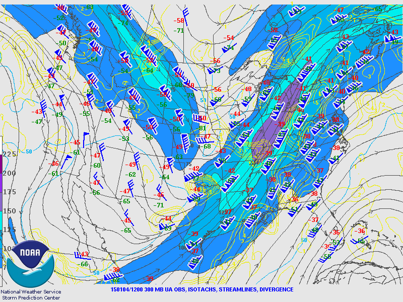
300 mb Analysis
January 3 6 pm
|
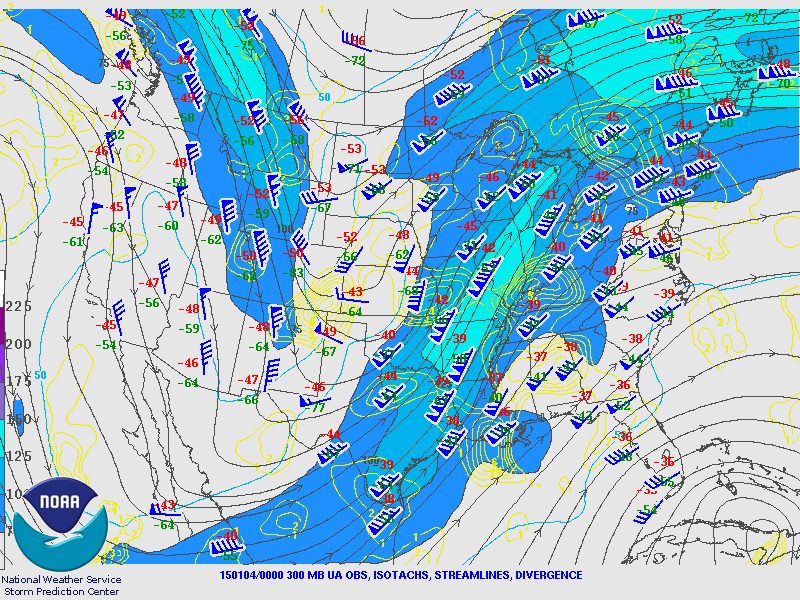
300 mb Analysis
January 4 6 am
|
|
500 mb Analysis
January 3 6 am
|
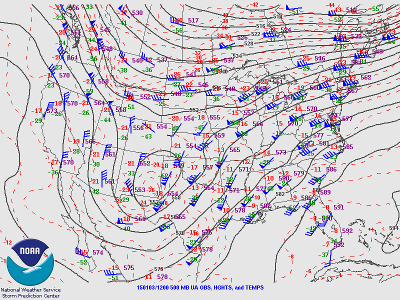
500 mb Analysis
January 3 6 pm
|
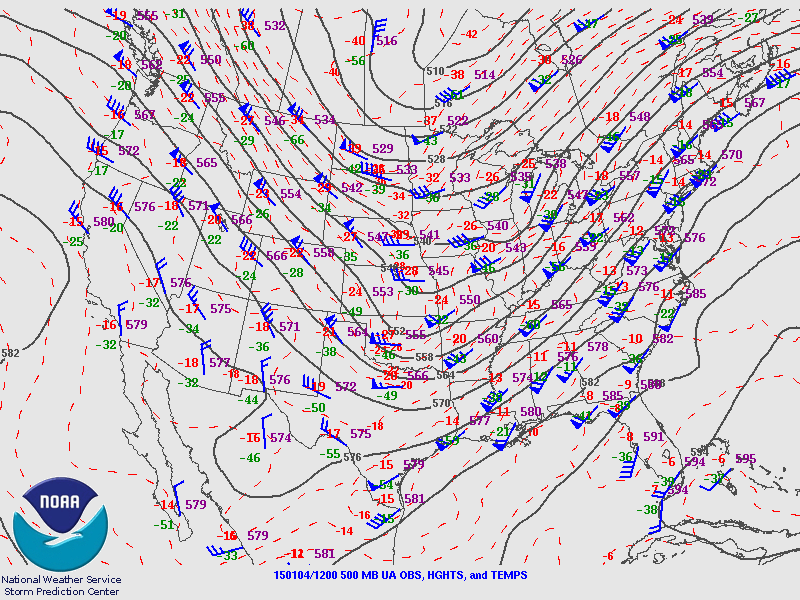
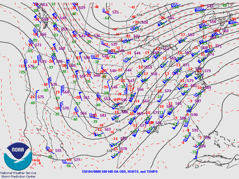
500 mb Analysis
January 4 6 am
|
|
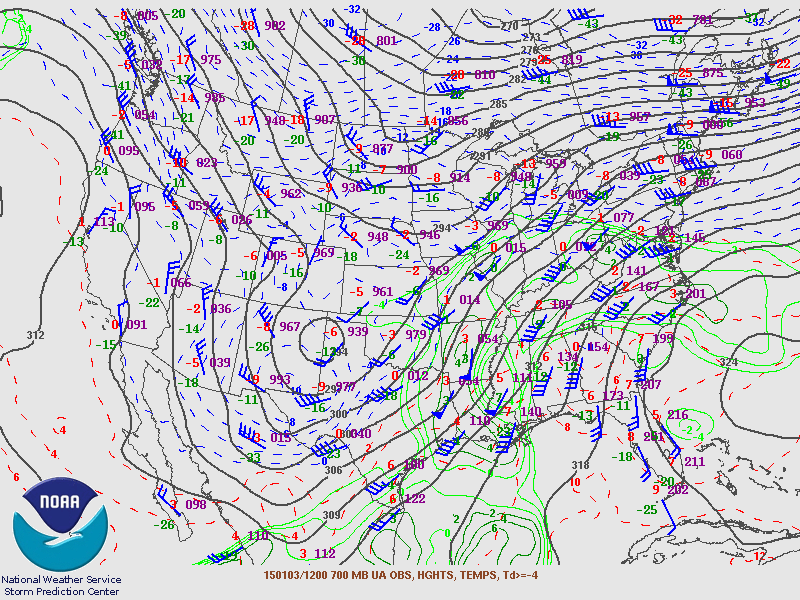
700 mb Analysis
January 3 6 am
|
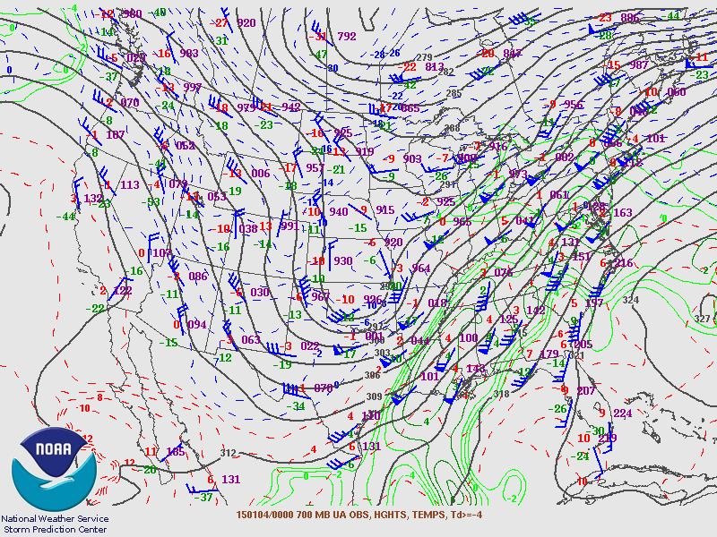
700 mb Analysis
January 3 6 pm
|
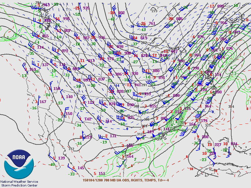
700 mb Analysis
January 4 6 am
|
|
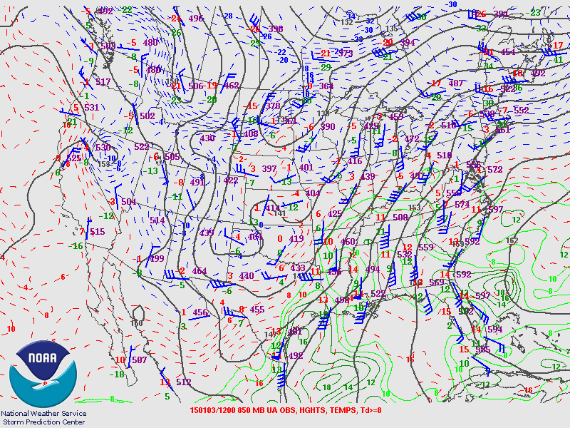
850 mb Analysis
January 3 6 am
|
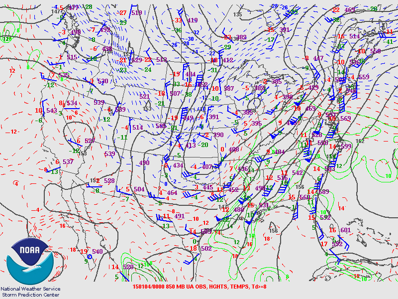
850 mb Analysis
January 3 6 pm
|
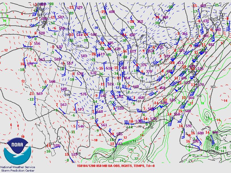
850 mb Analysis
January 4 6 am
|
|
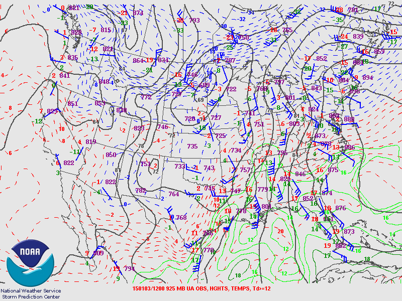
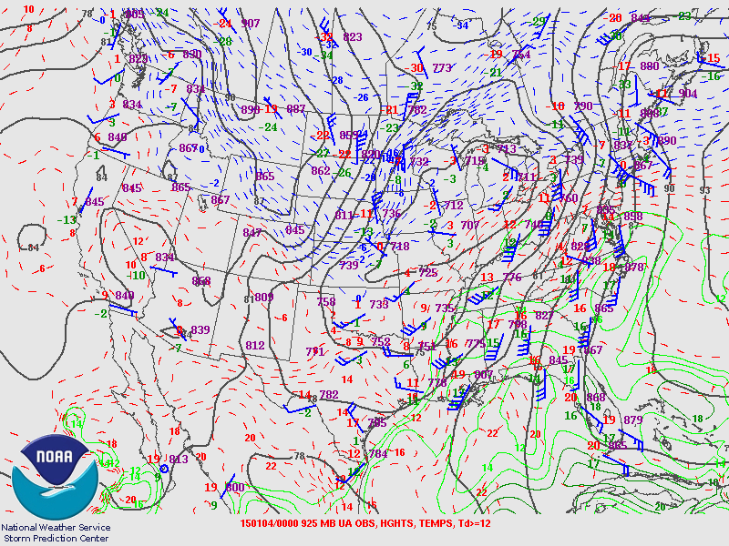
925 mb Analysis
January 3 6 am
|
925 mb Analysis
January 3 6 pm
|
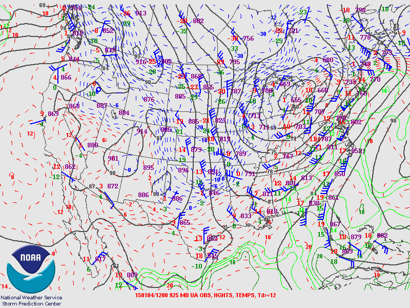
925 mb Analysis
January 4 6 am
|
|
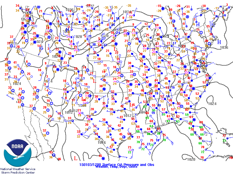
Surface Analysis
January 3 6 am
|
Surface Analysis
January 3 6 pm
|
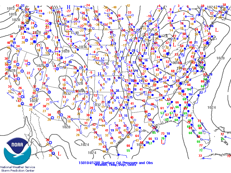
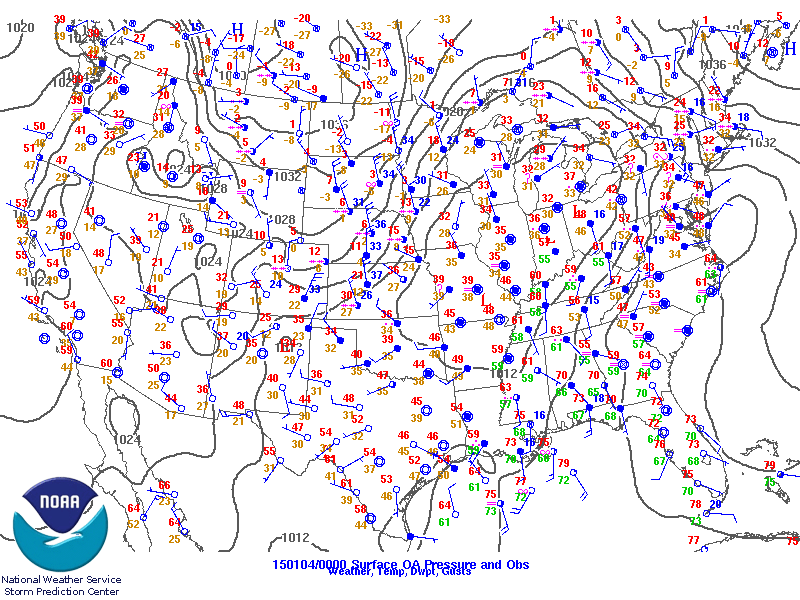
Surface Analysis
January 4 6 am
|
|
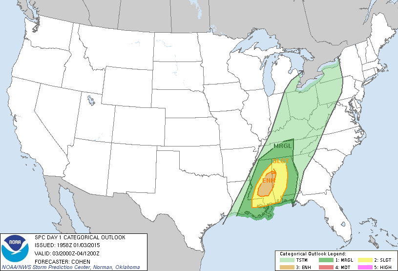
Day 1 Outlook
Issued January 3 2 pm
|
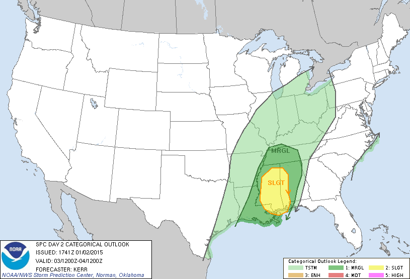
Day 2 Outlook
Issued January 2 1130 am
|
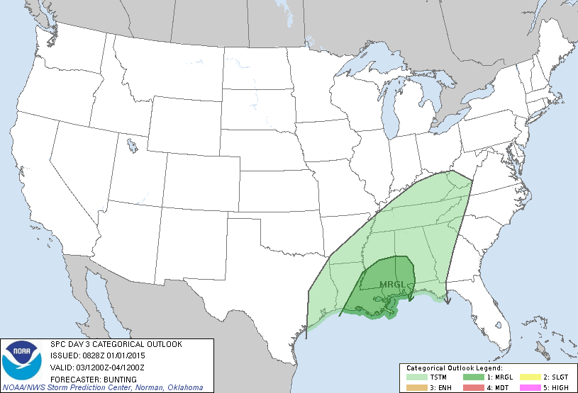
Day 3 Outlook
Issued January 1 228 am
|
|
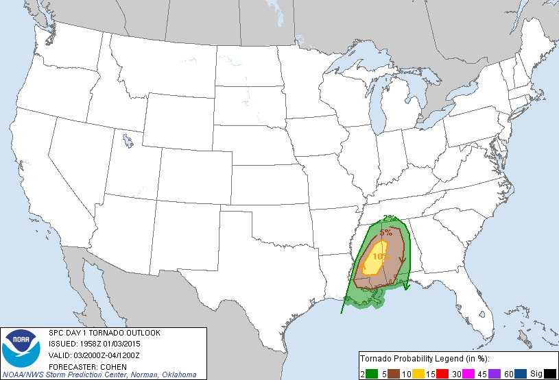
Day 1 Tornado Probabilities
Issued January 3 2 pm
|
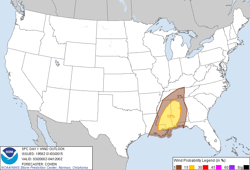
Day 1 Wind Damage Probabilities
Issued January 3 2 pm
|

Day 1 Hail Probabilities
Issued January 3 2 pm
|
|

Storm Reports
January 2 2015
|
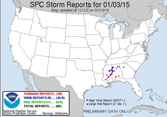
Storm Reports
January 3 2015
|
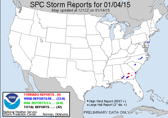
Storm Reports
January 4 2015
|
|
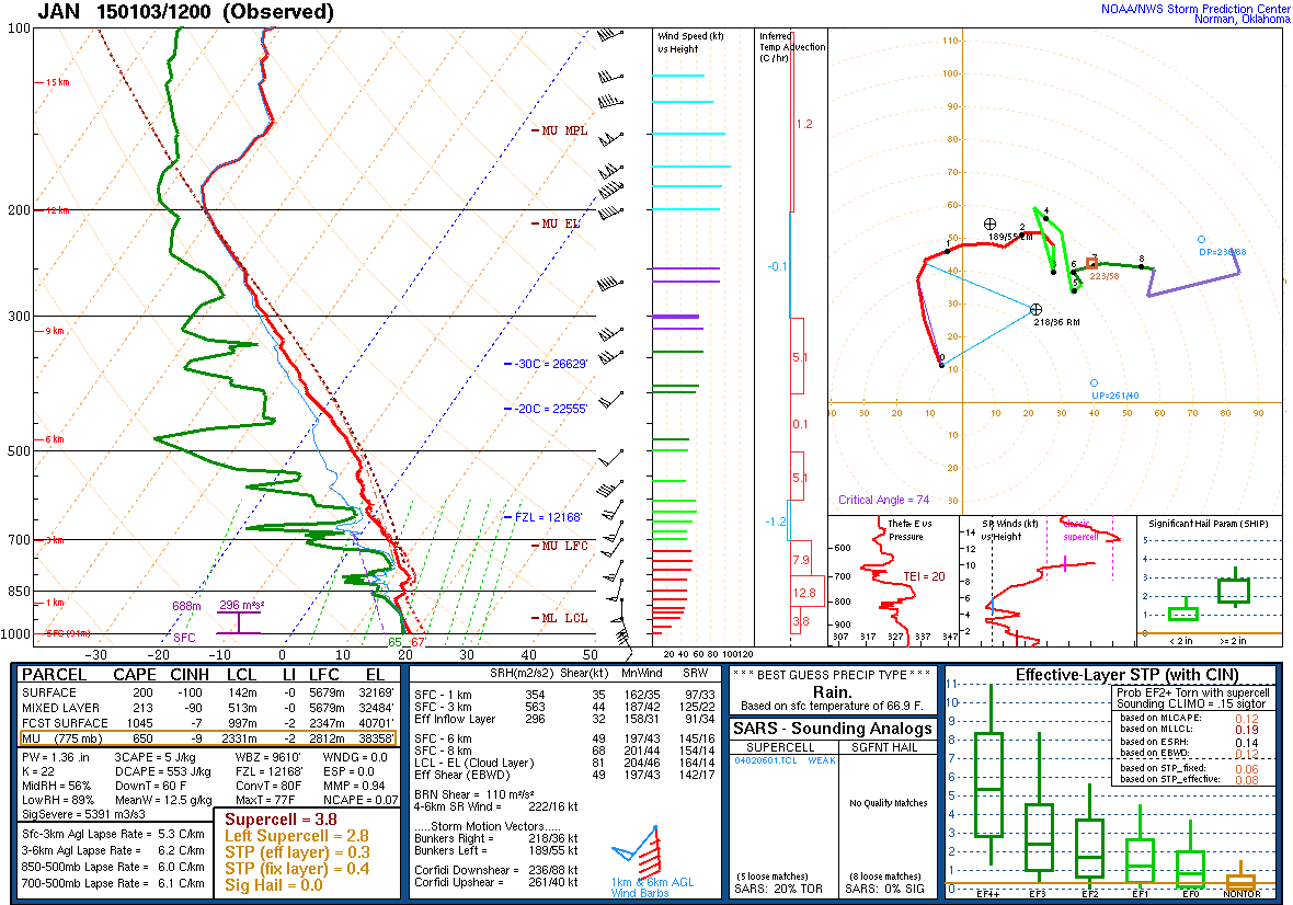
JAN Sounding 12z
|
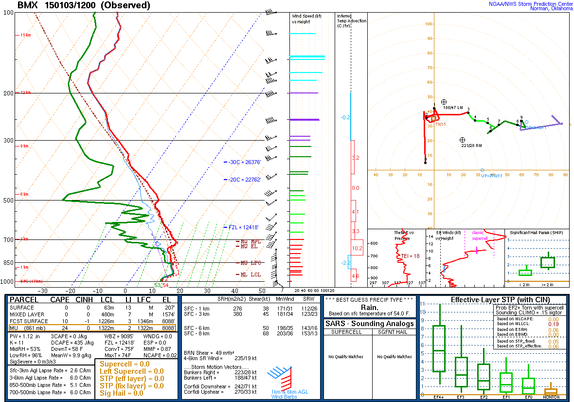
BMX Sounding 12z
|
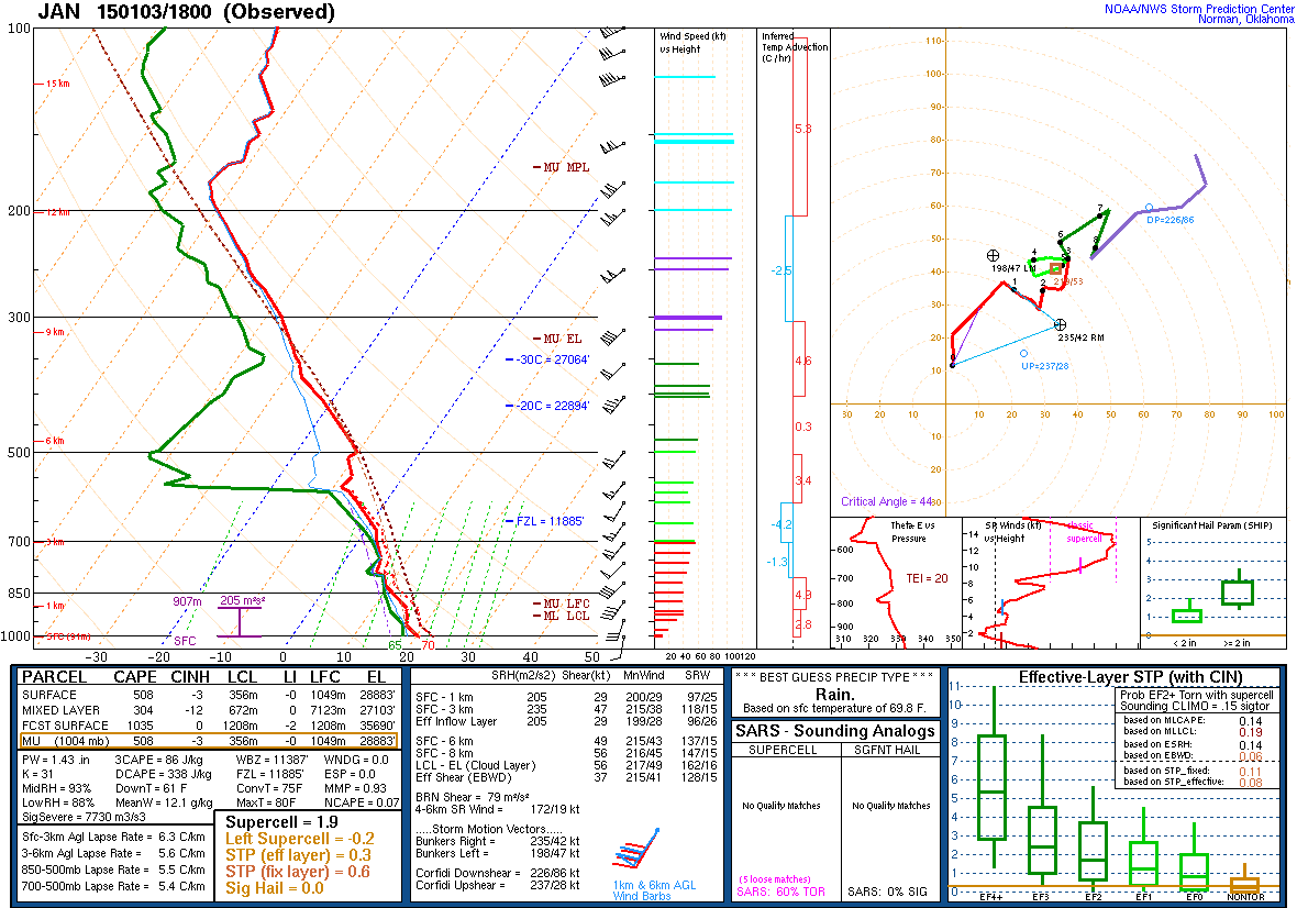
JAN Sounding 18z
|
|
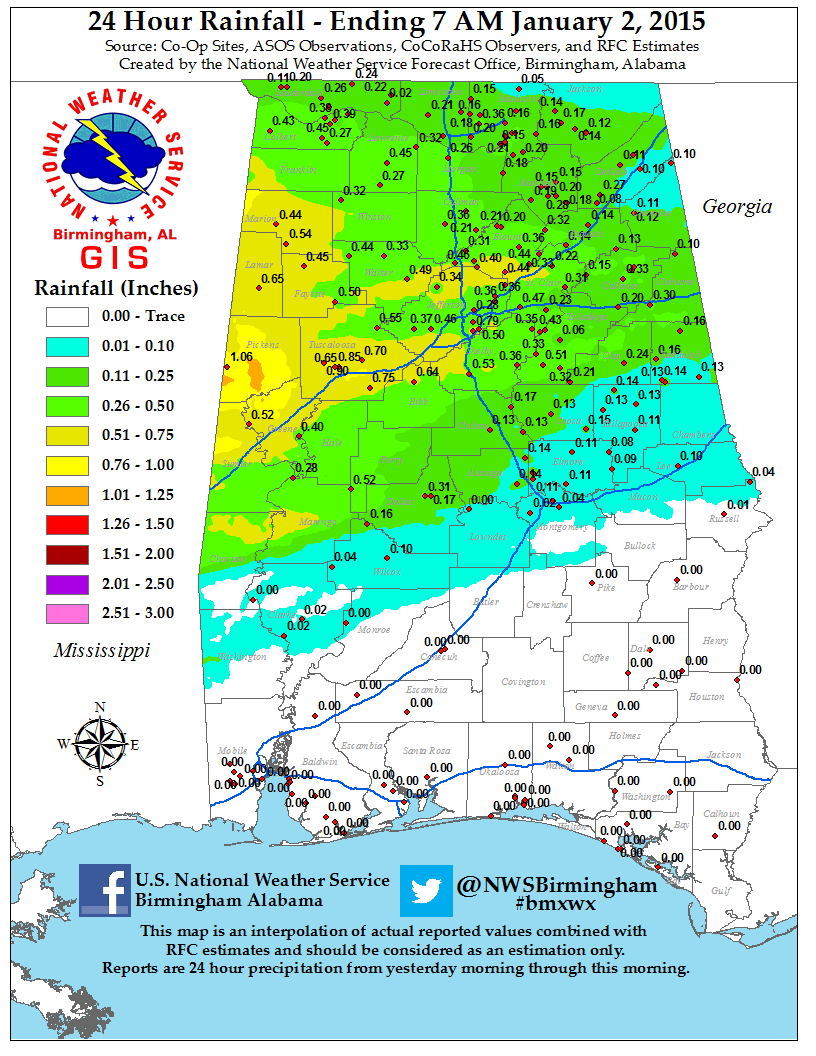
Rainfall Ending 7 am Jan 2nd
|

Rainfall Ending 7 am Jan 3rd
|
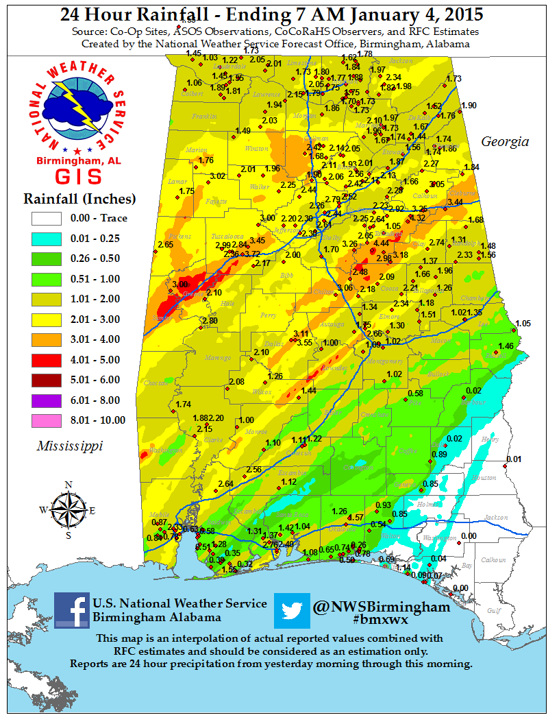
Rainfall Ending 7 am Jan 4th
|
|
Mesocyclone Tracks
|


