|
Event Summary
|
|
EF-1
|
|
Estimated Maximum Wind:
|
88 mph
|
|
Injuries/Fatalities:
|
None |
|
Damage Path Length:
|
5.80 miles
|
|
Maximum Path Width:
|
275 yards
|
|
Approximate Start Point/Time:
|
1 SSW Bakerhill
31.7633/-85.3100
at 433 pm
|
|
Approximate End Point/Time:
|
5 ENE Bakerhill
31.8093/-85.2285
at 441 pm
|
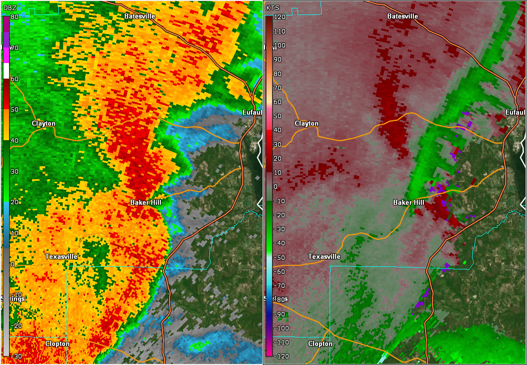
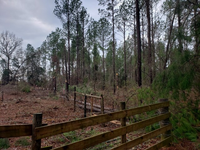
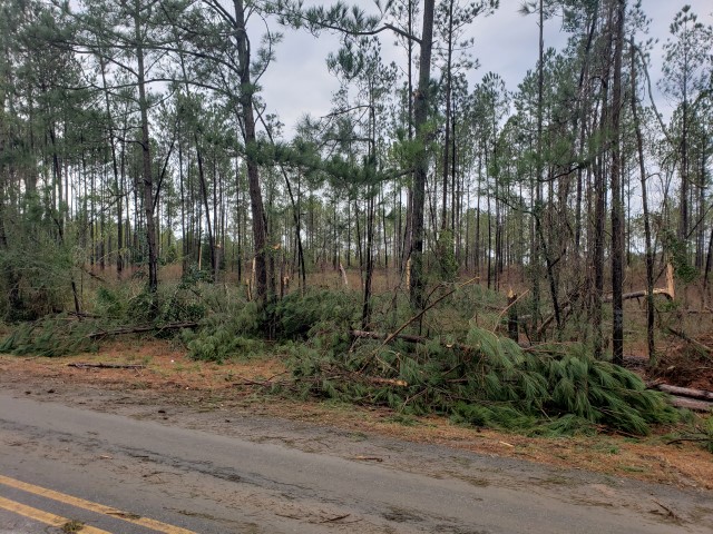
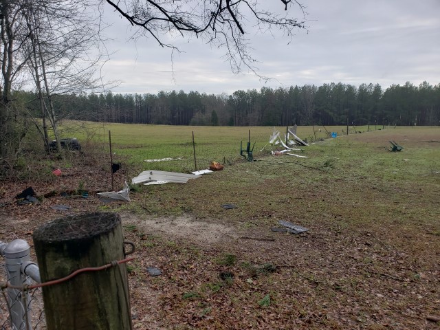
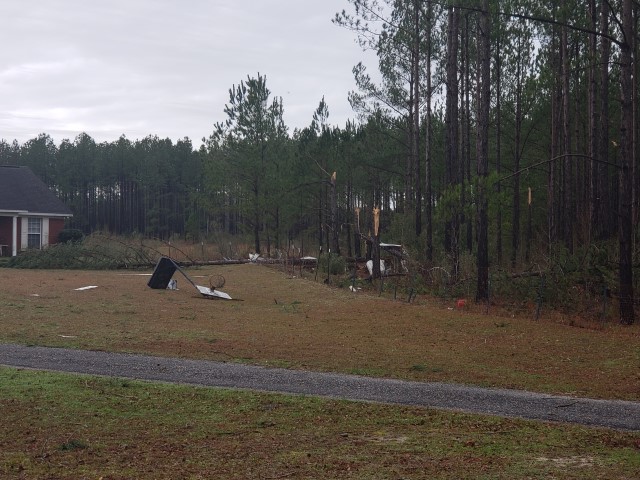
After reviewing photos of the damage along with radar data, it was determined by NWS Meteorologists that the damage in Southeast Barbour County was the result of a tornado. The tornado touched down near Threatt Road (County Road 18) just southwest of Bakerhill. One tree was uprooted, and a dead tree was snapped at the starting point. The tornado progressed northeast over County Road 79 where several trees were snapped off or were uprooted. The tornado continued northeast where it crossed Highway 131. Here vinyl siding was torn on the right side of a single family brick home. Near the home, there was debris including tin sheathing from a destroyed outbuilding and a flipped over outdoor basketball goal. It also snapped and uprooted many trees. The tornado then continued northeast and crossed Five Mile Road (County Road 36) where more trees were uprooted near and just north of Christian Grove Church. The tornado then lifted east of Five Mile Road over an open field. The end of the track was northeast of Bakerhill. The tornado path length was 5.80 miles long and was 275 yards wide at its widest point. Much thanks to Barbour County Emergency Management Agency for surveying the damage in Southern Barbour County.
|