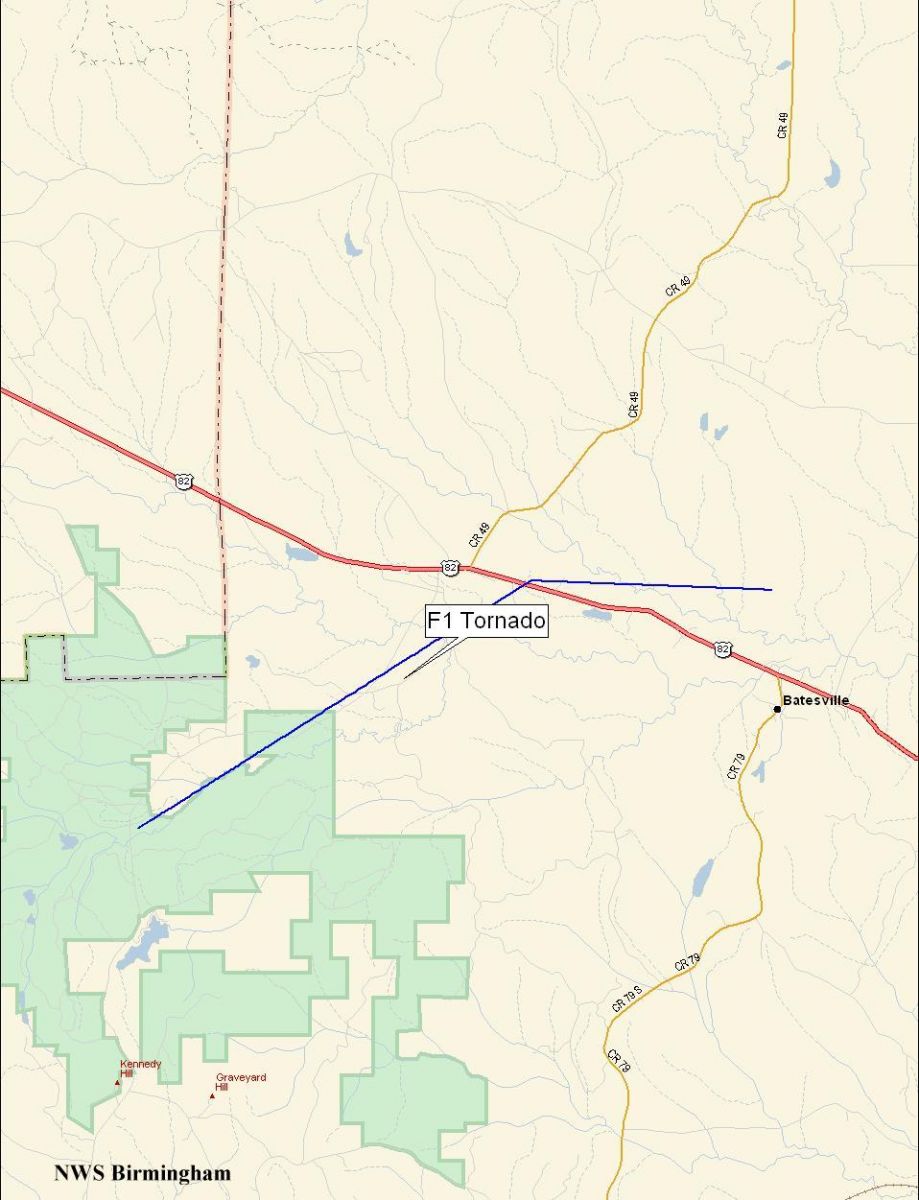
Barbour County F1 Tornado - January 13, 2006
National Weather Service meteorologists surveyed the storm damage that affected northwest Barbour County. It has been determined that the damage was the result of a tornado. The tornado has been rated an F1 on the Fujita Damage Intensity Scale. This event was the first occurrence of a tornado in Central Alabama in 2006.
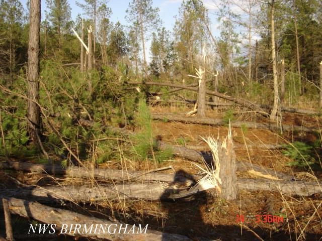
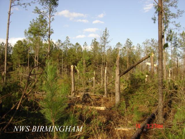
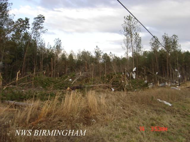
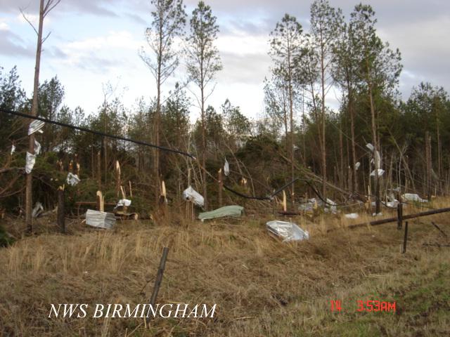
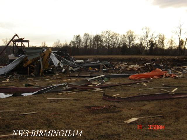
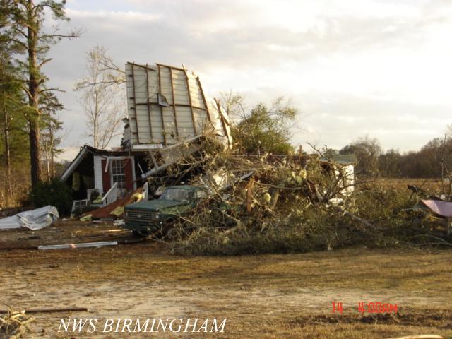
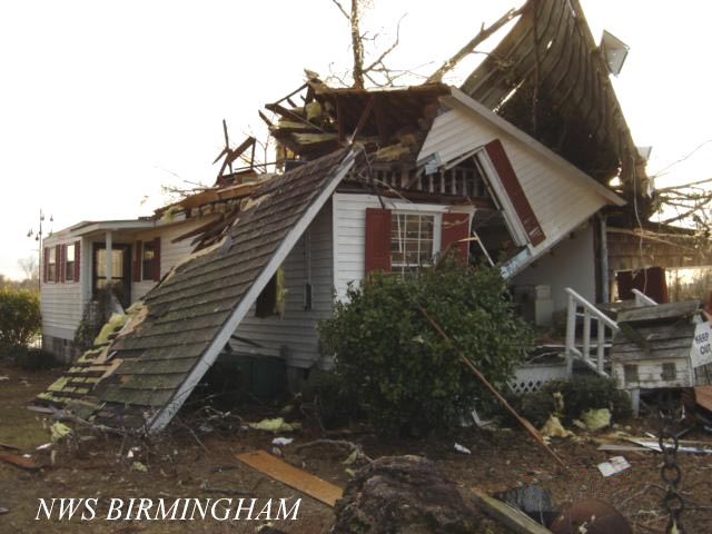
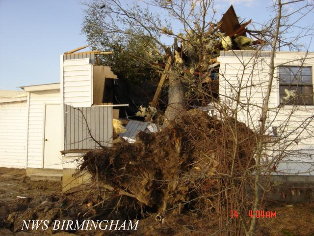
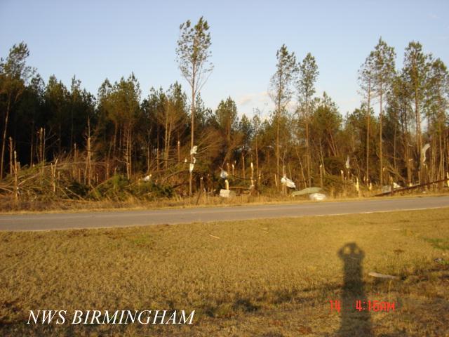
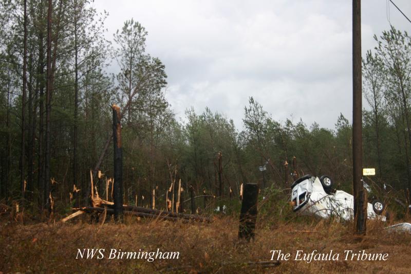
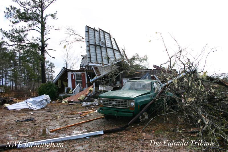
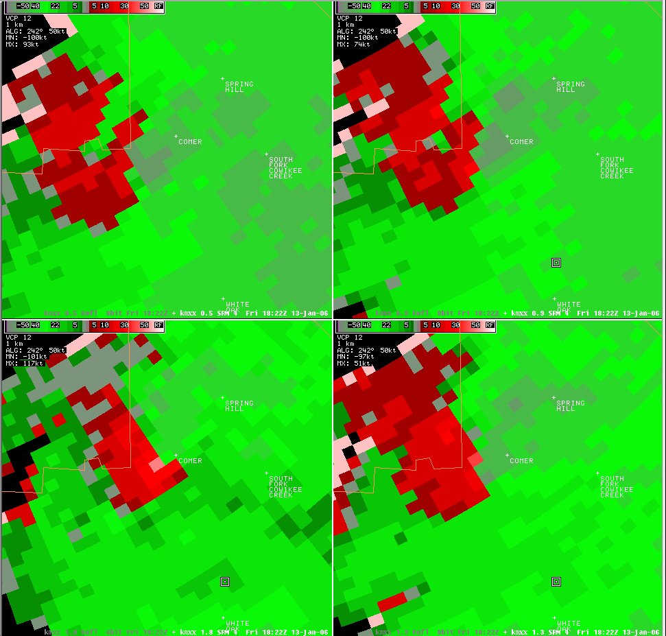
The tornado touched down at 12:20 PM CST in the Barbour County Wildlife Management Area, near the intersection of Charles Drive and County Road 49. The tornado moved northeastward and skirted County Road 49, then moved across a large wooded area and open pasture area. Several hundred trees were snapped off and uprooted near the beginning of the tornado damage path. As the tornado traveled northeast, a large warehouse at a family owned sod farm was completely destroyed. An office used by the sod farm was heavily damaged due to a large tree falling on it. The tornado crossed US 82 between the Comer community and the Batesville community. As the tornado crossed US 82, an automobile was tossed some 80 feet off the roadway. One male occupant of the car was injured and transported to the hospital. The tornado traveled just over a mile past US 82 and snapped off several hundred more trees before lifting north of US 82 near Bear Creek at approximately 1233 PM CST.
The tornado snapped off many hundreds of trees along its path. One warehouse was destroyed, one office was heavily damaged, and one home sustained roof damage. Metal tin from the roof of a shed was thrown at least a half mile down the tornado path. At least one automobile was damaged and one man was injured. The tornado path length was 8.5 miles long and was 100 yards wide at its widest point.
Watches/Warnings:
Tornado Watch number 17 was in effect from 710 AM until 200 PM CST.
A Tornado Warning was in effect from 1207 PM until 1245 PM CST.