|
Event Summary
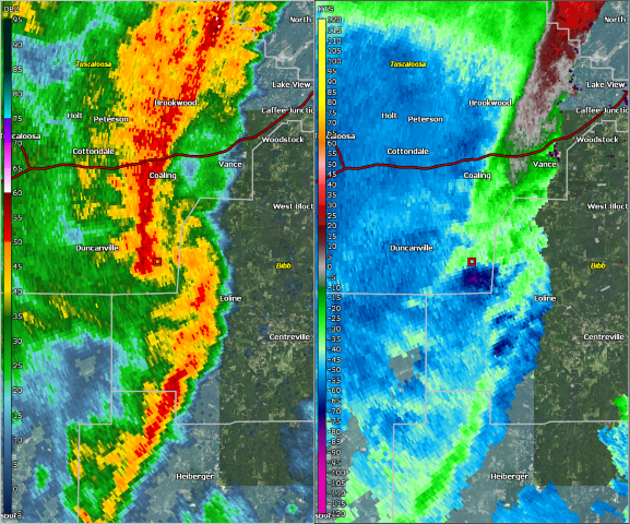
National Weather Service meteorologists surveyed damage in southeast Tuscaloosa County and determined that the damage was consistent with an EF-0 tornado.
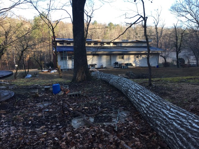
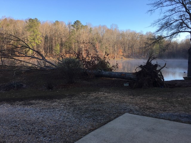
The tornado touched down briefly north of Hagler along Hagler Coaling Road, downing a dozen trees. The tornado tracked north northeast, downing a tree onto a home, before lifting on the northeast side of a small pond. The tornado was 0.28 miles long and was 200 yards wide at its widest point. The tornado was rated an EF-0 with maximum winds around 80 mph.
Thanks to Tuscaloosa County EMA for their assistance with this survey.
|