|
Event Summary
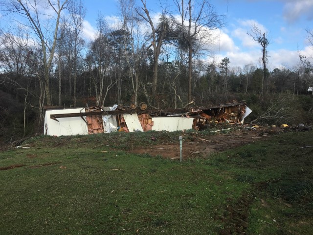
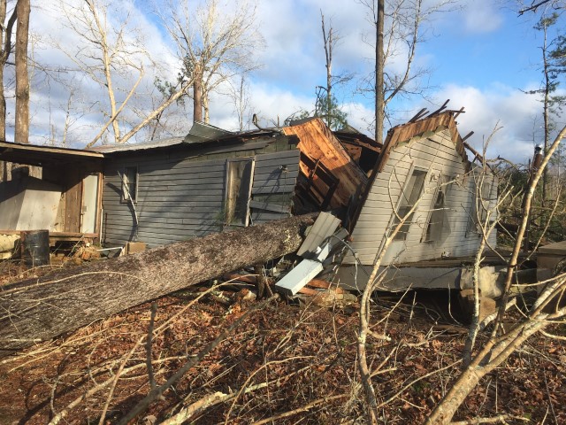
National Weather Service meteorologists surveyed damage in southwest Marengo County near Putnam and determined that the damage was consistent with an EF-1 tornado.
This tornado continued from Choctaw County where EF2 damage occurred. The tornado crossed into Marengo County near the Slater Community on Blue Rock Road. The tornado moved northeast and generally paralleled Blue Rock Road into the Putnam Community. The tornado crossed State Highway 69 and lifted east of Putnam on County Road 4. Numerous trees were snapped and uprooted along the path. At least one mobile home was destroyed and several homes sustained roof damage. The tornado was 0.21 miles long in Marengo County and was 90 yards wide at its widest point. The tornado was rated an EF-0 with maximum winds around 75 mph.
Thanks to Marengo County EMA for their assistance with this survey.
|