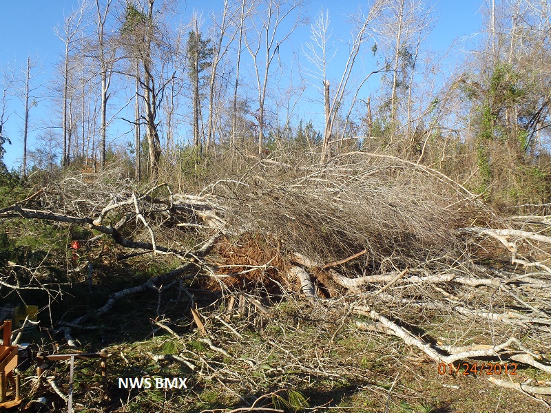
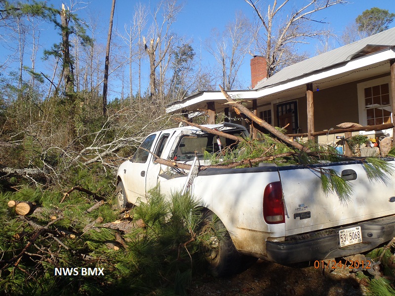
National Weather Service meteorologists have surveyed the damage in central Perry County north of Marion. An EF-1 tornado with estimated peak winds of 110 mph briefly touched down along County Road 7 and moved northeast crossing County Road 16 and Alabama Highway 5, and lifted just after crossing Alabama Road 175. The tornado was strongest as it crossed County Road 16. Along its path, scores of hardwood and softwood trees were snapped or uprooted.
Radar Data
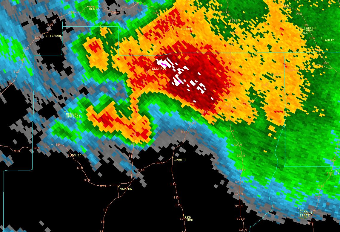
This is an image of the 0.5 degree reflectivity data from KBMX at 437 am as the tornado lifted.
Click to enlarge.
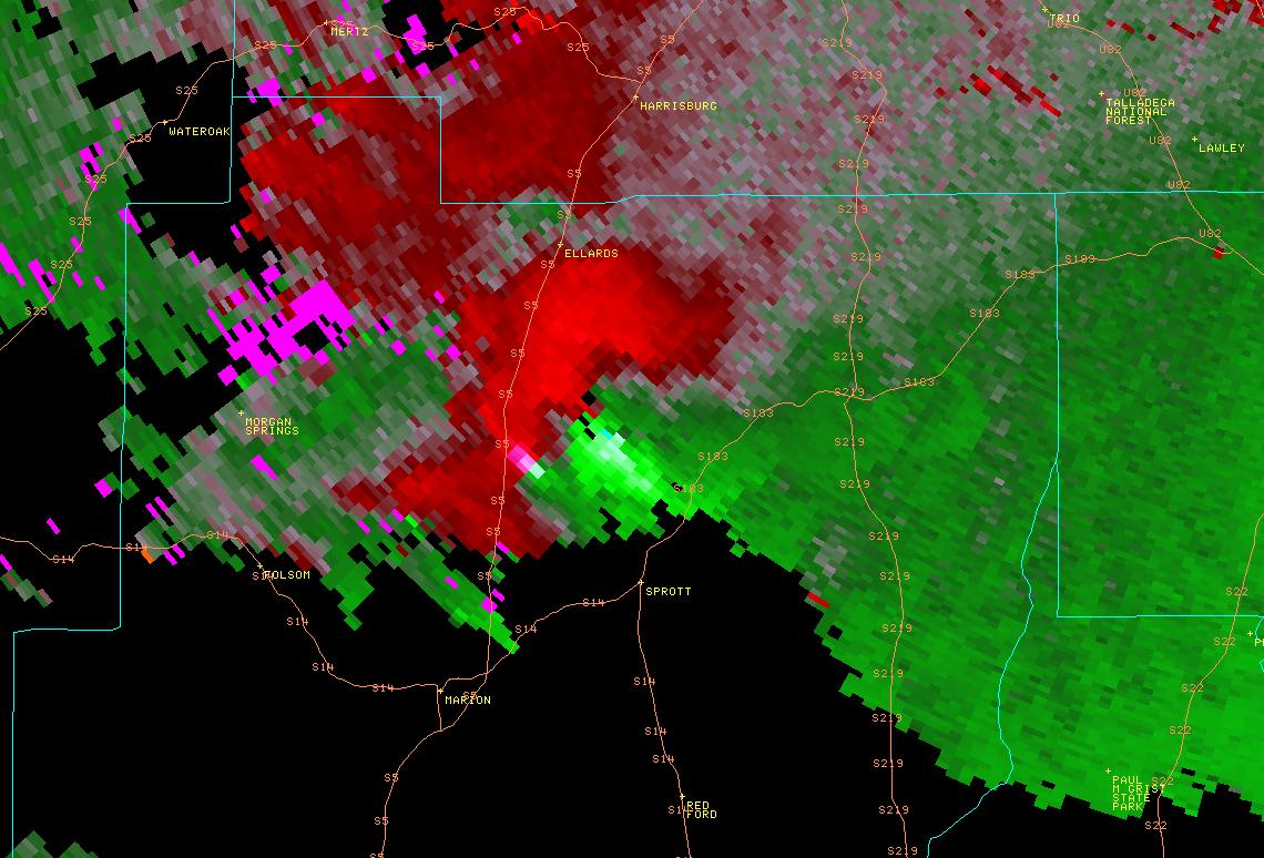
This is an image of the 0.5 degree velocity (SRM) data from KBMX at 437 am as the tornado lifted.
Click to enlarge